How difficult Corfu Trail is
How difficult Corfu Trail is
All in all, Corfu Trail is a long but technically easy route. With the exception of a few minor difficulties in places, mainly due to slippery ground in the rainy season, the entire route follows either dirt roads or easy, well-trodden paths.
Perhaps the main difficulty lies in tracking how the route cotinues in some unclear points, a problem easily solved with the assistance of the hiking navigation application.
Probably the most objective factor of evaluating the difficulty level of Corfu Trail is distance and elevation differences of the daily sections. The following elevation diagrams allow user to estimate elevation differences. These diagrams are interactive in Corfu Trail topoguide application, hence the user can spot the locations where the main uphills/downhills occur. At the same time, in each section the length and the algorithmically calculated hiking time are given, while an indicative difficulty evaluation is also provided, ranging from 1 (easy) to 5 (particularly difficult).
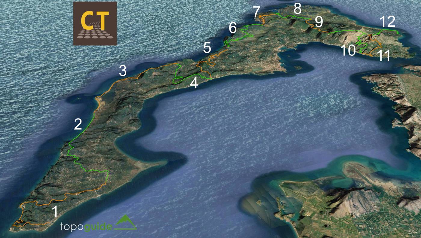
1. Kavos-Lefkimi

The first section of Corfu Trail from Kavos to Lefkimmi is 14.5 km long and it is estimated that it can be covered in 5h30-5h. In the rainy season, the section before Arkoudilas monastery can be particularly muddy, while the downhill from the monastery to the road leading to Kanoula beach will certainly be slippery, or even dangerous. Moreover, in the middle of the Kanoula beach there is an obligatory pass on the coast, at a very narrow point, which can be difficult to unpassable in case of swollen sea. At the end of the beach we meet a 10 m high steep slope, which is safe when dry but can become slippery when wet. Hiking sticks can be really useful throughout this route.
2. Lefkimi-Agios Georgios (south)

The 2nd section of Corfu Trail from Lefkimi to Agios Georgios (south) (15.2 km, 6h-6h30).
3. Agios Georgios (south)-Ano Pavliana

The 3rd section of Corfu Trail runs from Agios Georgios (south) to Ano Pavliana (18.32 km, 7h30-8h).
4. Ano Pavliana-Benitses

The 4th section of Corfu Trail goes from Ano Pavliana to Benitses (15 km, 5h-5h30).
5. Benitses-Pelekas

The 5th section of Corfu Trail covers the distance from Benitses to Pelekas (18.4 km, 7h30-8h).
6. Pelekas-Liapades

The section from Pelekas to Liapades (22 km, 9h-10h).
7. Liapades-Agios Georgios (north)

One of the shortest sections of the Trail, the hike from Liapades to Agios Georgios (north) (11.5 km, 4h30-5h).
8. Agios Georgios (north)-Rekini

The section from Agios Georgios (north) to Rekini (12.8 km, 5h-5h30).
9. Rekini-Spartylas

Section from Rekini to Spartylas (11.5 km, 4h30-5).
10. Spartylas-Kaminaki

The section from Spartylas to Kaminaki (16.6 km, 6h-7h).
11. Kaminaki-Old Perithia

The route from Kaminaki to Old Perithia (12.5 km, 5h-5h30).
12. Old Perithia-Agios Spyridonas

The last section of Corfu Trail from Old Perithia to Agios Spyridonas (11.9 km, 4h30-5h).
topoguide Greece
Corfu Trail topoguide
Corfu Trail topoguide ia a unique digital guide for Corfu Trail.
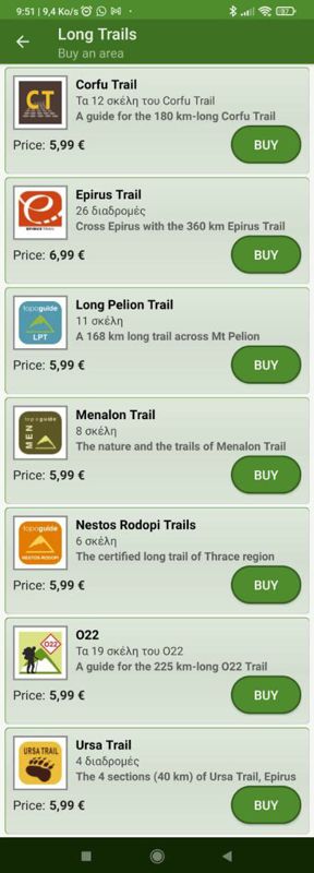
Corfu Trail topoguide is a member of the Long Trails group. Long Trails group includes:
1. Corfu Trail
2. Menalon Trail
3. Nestos-Rodopi Trail
4. Ursa Trail
5. Long Pelion Trail
6. Epirus Trail
7. National Trail Ο22
topoguide Greece provides the possibility to display up to 5 regions or Long Trails at the same time and to search across all their routes and POIs.
Corfu Trail topoguide is available for Android devices as one of 64 regions of Greece offered by the application topoguide Greece. Get the Corfu Trail topoguide as an in-app purchase.
Corfu Trail topoguide is also available for iOS (iPhone και iPad) devices as one of the dozens of regions offered in the hiking application Topoguide Greece. Get the in-app purchase Corfu Trail topoguide and explore Corfu Trail.


