Corfu Trail: Overview
Corfu Trail: Overview
The best version of Corfu Trail
| Section | Start | Destination | Length (km) | Time |
|---|---|---|---|---|
| 1 | Kavos | Lefkimi | 14.5 | 5h30-6h |
| 2 | Lefkimi | Agios Georgios (south) | 15.2 | 6h-6h30 |
| 3 | Agios Georgios (south) | Ano Pavliana | 18.3 | 7h30-8h |
| 4 | Ano Pavliana | Benitses | 15 | 5h-5h30 |
| 5 | Benitses | Pelekas | 18.4 | 7h30-8h |
| 6 | Pelekas | Liapades | 22 | 9h-10h |
| 7 | Liapades | Agios Georgios (north) | 11.5 | 4h30-5h |
| 8 | Agios Georgios (north) | Rekini | 12.8 | 5h-5h30 |
| 9 | Rekini | Spartylas | 11.5 | 4h30-5h |
| 10 | Spartylas | Kaminaki | 16.6 | 6h-7h |
| 11 | Kaminaki | Old Perithia | 12.5 | 5h-5h30 |
| 12 | Old Perithia | Agios Spyridonas | 11.9 | 4h30-5h |
Resources
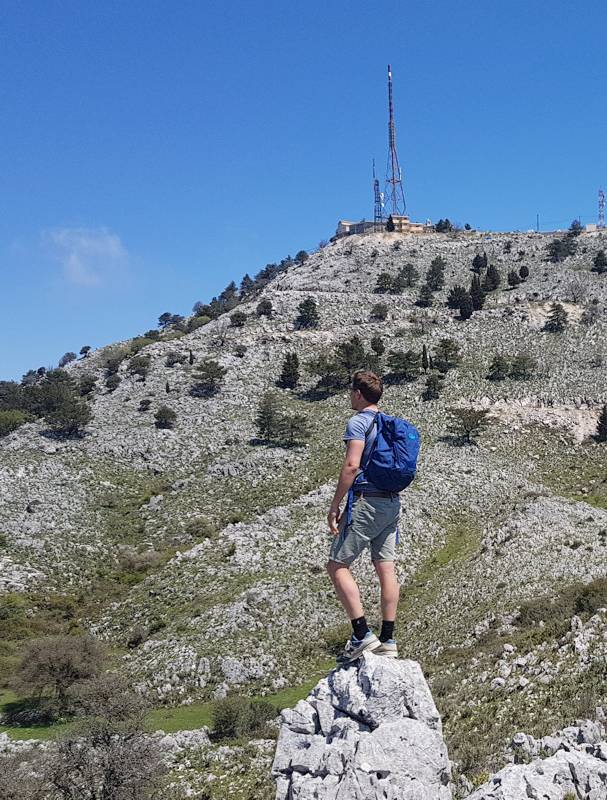
The following route of Corfu Trail and its allocation in 12 daily sections is a proposal of AnaDigit cartographic team and is a result of systematic survey, which took place in February 2019, following as closely as possible the original routing and avoiding the older and abandoned – though adequately marked – variations. Alternative proposals are presented in various Internet sources, some of which omit some parts of the route and conclude in a 7 or 8 days hiking, while others utilize the shortcuts between the 5th and 6th and the 10th and 11th sections, concluding in a 10-day route.
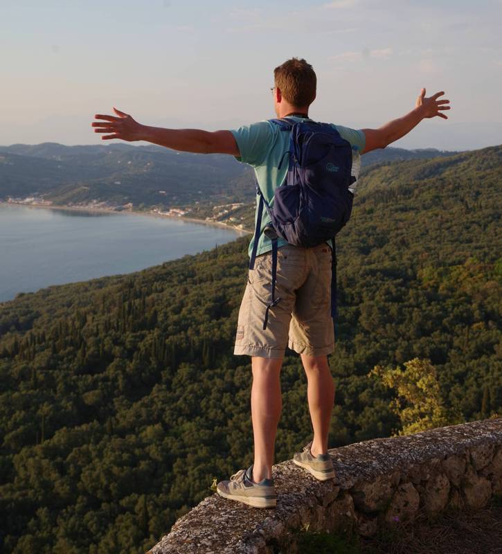
The official information source for Corfu Trail is the thecorfutrail.com website, which depicts the history and evolution of the route. Several information sources (mostly books and maps) can be found in the βοηθημάτων webpage. The website proposes a guide in pdf format, written by Hilary Whitton Paipeti, the person who inspired and organized the route. The leaflet, titled as Companion Guide to the Corfu Trail contains brief but informative descriptions and some overview maps.
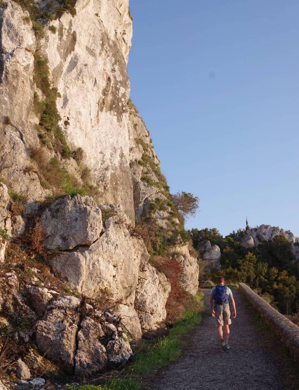
Among the ‘hard-copy’ companions, the Walking and trekking on corfu by Gillian Price from Cicerone Editions is the most helpful. The book contains several additional courses. The texts are comprehensive and accurate, while the maps are actually cartographic sketches, being however fairly helpful in their simplicity.
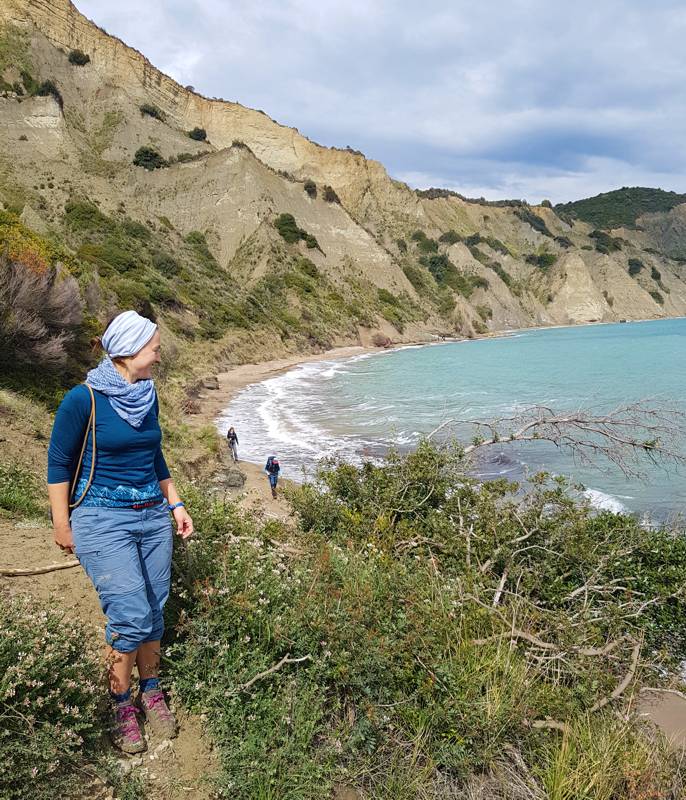
In the corfu-trail.com website, various proposals of organizing the route in 9, 10 or 15 days are presented (the 15-day proposal resembles our proposal a lot, distinctly differing in the final sections and ending at Kalami, instead of Agios Spyridonas).
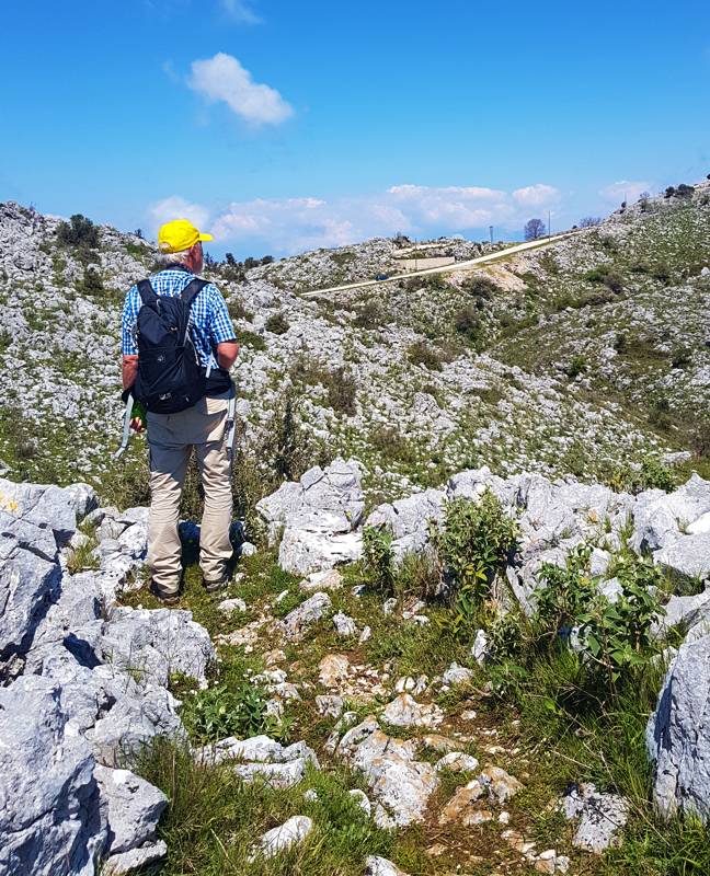
In the walking the corfu trail blog one can virtually roam in a large part of the route (8 days) along with Ian and Andy. The descriptions are already quite old, but not obsolete. The experiences and descriptions of another couple of hikers published in corfutrail blog are more recent.
Finally, some comments on the route, without further information, are reproduced in the Corfu Trail section of greencorfu.com webpage
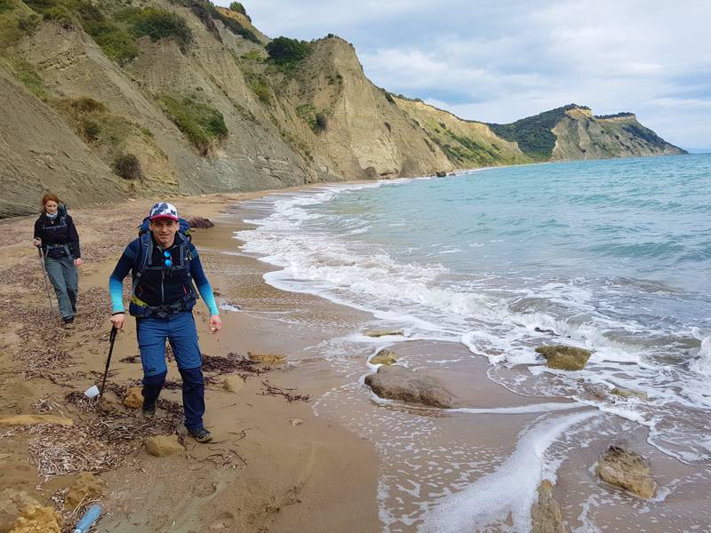
Basic information and referrals to internal or other links for purchasing guided tour packages or self-guiding tours and other services are available in several webpages, such as how to hike the corfu trail of wiredforadventure.com website.
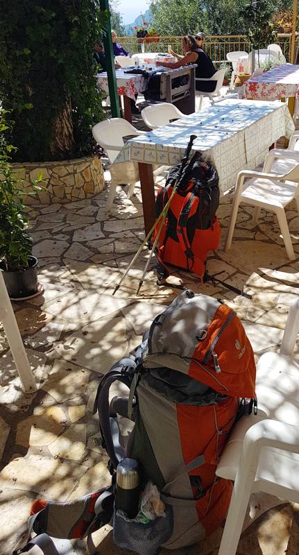
Certainly, in case one wishes a guided tour or services during the route he can address to Aperghi travel office, specialized in organizing the route and in baggage lifting. A fairly complete description of the route is presented in the Overview page of their website. Aperghi Travel and Tourism office is situated in Kerkyra and proposes various multiday courses including parts of Corfu Trail or the whole route.
In the Corfu Travel Forum, TripAdvisor users exchange various information about Corfu: some of them can be particularly useful.
Along the route, the hiker will meet several marks of the Corfu Mountain Trail race. Special attention is needed as Corfu Mountain Trail coincides in some sections with Corfu Trail and the hiker tends to follow it, as it is very well trodden in places.
The same problem arises also with Kassios Dias running race, which largely overlays with Corfu Trail in sections 10 and 11. In Kassios Dias website one can find information on its main route and its variations.
In any case, orientation problems along the route can be eliminated if the hiker uses the Corfu Trail hiking app of topoguide family. The app is available as an independent app for Android devices or as a region of Topoguide Greece for iOS devices.
Apart from the active nagigation along the paths, the application reveals the natural and cultural landscape of an alternative Corfu, showing on each step the closest of the hundred Points Of Interest included. Finally, the app contains the most detailed and accurate digital map for the entire island.
topoguide Greece
Corfu Trail topoguide
In any case, orientation problems along the route can be eliminated if the hiker uses the Corfu Trail topoguide hiking app, created by AnaDigit.
Corfu Trail topoguide is a member of the Long Trails group. Long Trails group includes:
1. Corfu Trail
2. Menalon Trail
3. Nestos-Rodopi Trail
4. Ursa Trail
5. Long Pelion Trail
6. Epirus Trail
7. National Trail Ο22
topoguide Greece provides the possibility to display up to 5 regions or Long Trails at the same time and to search across all their routes and POIs.
Corfu Trail topoguide is available for Android devices as one of 64 regions of Greece offered by the application topoguide Greece. Get the Corfu Trail topoguide as an in-app purchase.
Corfu Trail topoguide is also available for iOS (iPhone και iPad) devices as one of the dozens of regions offered in the hiking application Topoguide Greece. Get the in-app purchase Corfu Trail topoguide and explore Corfu Trail.
