Caves and potholes of Kefalonia
Caves and potholes of Kefalonia
Among the other natural gifts of Kefalonia is the richness of the impressive and paradoxical geological treasures. Apart from the dozens of caves and potholes, the island offers to the visitor the exotic underground or surface lakes of Melissani, Avithos and Akoli, as well as the unique phenomenon of an underground pipeline that transports the sea water from the west to the eastern side of the island - from Argostoli to Karavomylos.
In Sami area, the visitor could visit the Melissani, Drogarati and Agalaki potholes. It has been suggested that these three potholes,located along a line, at an altitude of 40-50 m, and reaches a depth up to 15 m below sea level, may be connected to each other through subterranean vaults and corridors.

topoguide Greece
Kefalonia hiking,
nature and cultural guide
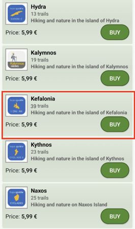
The guide Kefalonia topoguide is available for Android devices along with dozens of other regions of Greece, within the general application topoguide Greece. Kefalonia topoguide is a member of the Greek Islands group. Get Kefalonia topoguide as an in-app purchase from the topoguide Greece available regions list.
The Kefalonia topoguide guide is also available for iOS devices (iPhone and iPad) through the general hiker application Topoguide Greece. Get Kefalonia topoguide as an in-app purchase via the available regions list.
It is very interesting that topoguide Greece has the ability to simultaneously display up to 15 different areas, thus allowing an overall view of the Greek Islands and the easy alternation of hundreds of hiking routes, hundreds of Points of Interest and dozens of pages of the guide with innumerable photos.


