Discover Mt Taygetos
Discover Mt Taygetos

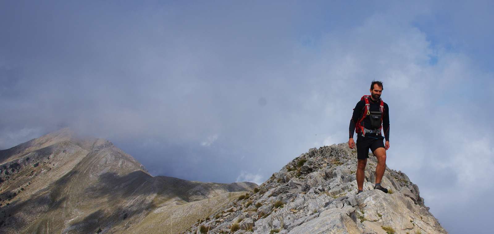
Mt Taygetos was named after Taygheti, one of the Atlantides whose beauty attracted the lustful gaze of Zeus the ruler of the gods. Torn by shame, Taygheti put an end to her mortal life by leaping off a cliff on the mountain. In another version the goddess Artemis takes pity on her and turns her into a deer that vanishes forever into the forest. During Frankish rule of the Peloponnese the mountain is often called Pentadhaktilon, meaning "five-fingered", presumably referring to the foothills on the eastern face, each of which had a settlement or fortification.

The main axis of the mountain summits forms an almost straight line from north to south, beginning from the col with North Taygetos and reaching the col with Mt. Sangias, the mountains of Mani
Large ravines are formed in the western face, with those of Rintomo and Viros being the most well-known, starting form the summits area and reaching the sea through two successive gorges. The longest ravine of eastern Taygetos is Lagadha, starting from the col with North Taygetos and crossed by the Magoulitsa stream, tributary of Evrotas.


topoguide Greece
Flora
of Mt Τaygetos area

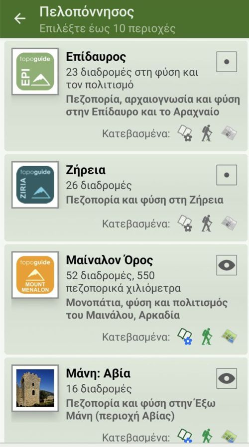
Taygetos topoguide is available for Android devices as an in-app-purchase via the global app topoguide Greece. Taygetos topoguide is a member of the Peloponnese group.
Taygetos topoguide is also available as an in-app-purchase for iOS & iPad devices via the global hiking app Topoguide Greece app. There again, Taygetos topoguide is a member of the Peloponnese group.
topoguide Greece offers an extended introduction on the geography, the nature and the history of the area.
The app includes data, photos, POIs and descriptions for 34 hiking routes. Once in the field, the application identifies the nearest routes and offers the user active navigation.

