Discover Nafpaktia Uplands
Discover Nafpaktia Uplands
Nafpaktia Uplands or Mountainous Nafpaktia is the large, literally mountainous, region between the Mornos River and the borders of Evrytania and from the Kokinos River to Thermo.
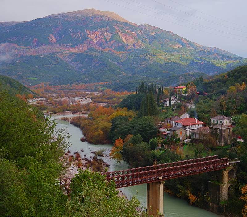
The Banias bridge and Mt Rigani
The major geographical element of Nafpaktia Uplands is the river Evinos, which originates from Vardousia Mts and is partially diverted towards the Mornos reservoir at the height of the Agios Dimitrios dam, near the village Arachova. Despite its losses, gradually, and thanks to the contribution of many smaller rivers, it is again becoming the big river that it once was and comes out of the mountains near the Bania bridge. Then crosses the Messologi plain and meet the sea in the west of Varasova.
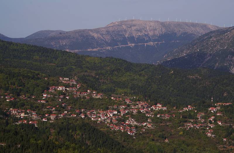
Ano Chora
Extremely isolated and introverted, the Nafpaktia Uplands area developed a grid of several nuclear villages, connected via a net of paths to numerous agricultural - mainly livestock - satellite hidden in the mountain valleys.
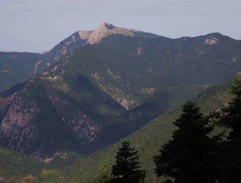
Tsekoura peak
Today, one of the best-known nuclear settlements of the 19th century is Ano Chora, which flourished, invisible and inaccessible from the world of the plain and the coast, in the center of a system of mountaind valleys.
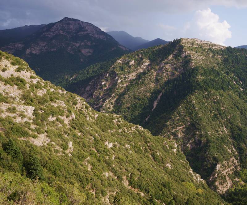
Kakavos gorge, near Ano Chora
Once a prosperous settlement, Ano Chora saw its population move to local and distant urban centers and came close to the common fate of the other mountain villages of Roumeli, the transformation into a mid-summer pole of festivities and gatherings. Recently, Ano Chora recovered, thanks to the efforts of few locals, who turned to mountain tourism and invested in infrastructure and services with character.
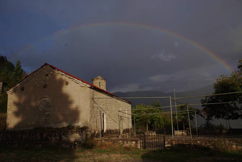
The abandoned monastery of Agios Dimitrios
As far as hiking tourism is concerned, several attempts to create the proper infrastructure and promote hiking have been made in the past as well as recently. Today, Ano Chora offers an interesting network of routes, which, although it still has several shortcomings, is a good base for getting to know an area of slow pace, with beautiful natural scenery and many unknown sights.

