The water in Zakynthos
The water in Zakynthos

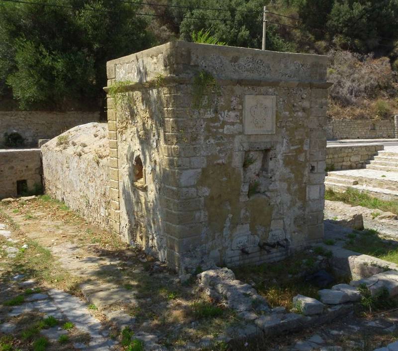
Zakynthos topoguide: The fountain of the Venetian aquaduct
The presence of surface waters is particularly stingy in Zakynthos and their distribution is uneven, in relation to the other opportunities of natural resources - hence the selection of a place for inhabitation. Apart from the small springs of Bohalis, Riza and Skopos, which were supplying the surrounding settlements, the rest of Zakynthos was forced to resort to the use of rain water - either by stocking it directly on sheds and shallow wells or by finding it in the nearby aquifer, with the help of deeper wells.
The traveler of Zakynthian countryside will find innumerable different case to study.

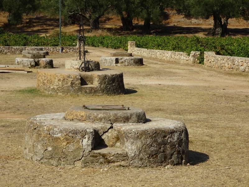
Zakynthos topoguide: The medieval wells in Andronios, near Agalas

topoguide Greece
ZAKYNTHOS TOPOGUIDE

Information and photos of several water sources of Zakynthos island are included in the digital field guide Zakynthos topoguide.
The digital field guide Zakynthos topoguide is available for Android devices as an in-app purchase within the application topoguide Greece. Zakynthos topoguide is a member of the Greek Islands group.
The digital field guide Zakynthos topoguide is also available for iOS (iPhone and iPad) devices as an in-app purchase within the application Topoguide Greece. There also, Zakynthos topoguide is a member of the Greek Islands group.
Zakynthos topoguide includes an extended introduction to the geography, the history, the landscape and the nature of Zakynthos island, and a list of

