Corfu Trail topoguide
Corfu Trail topoguide
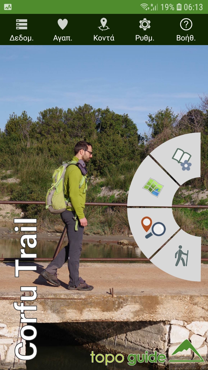
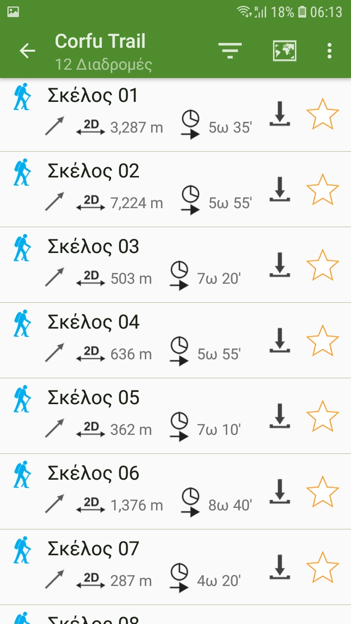
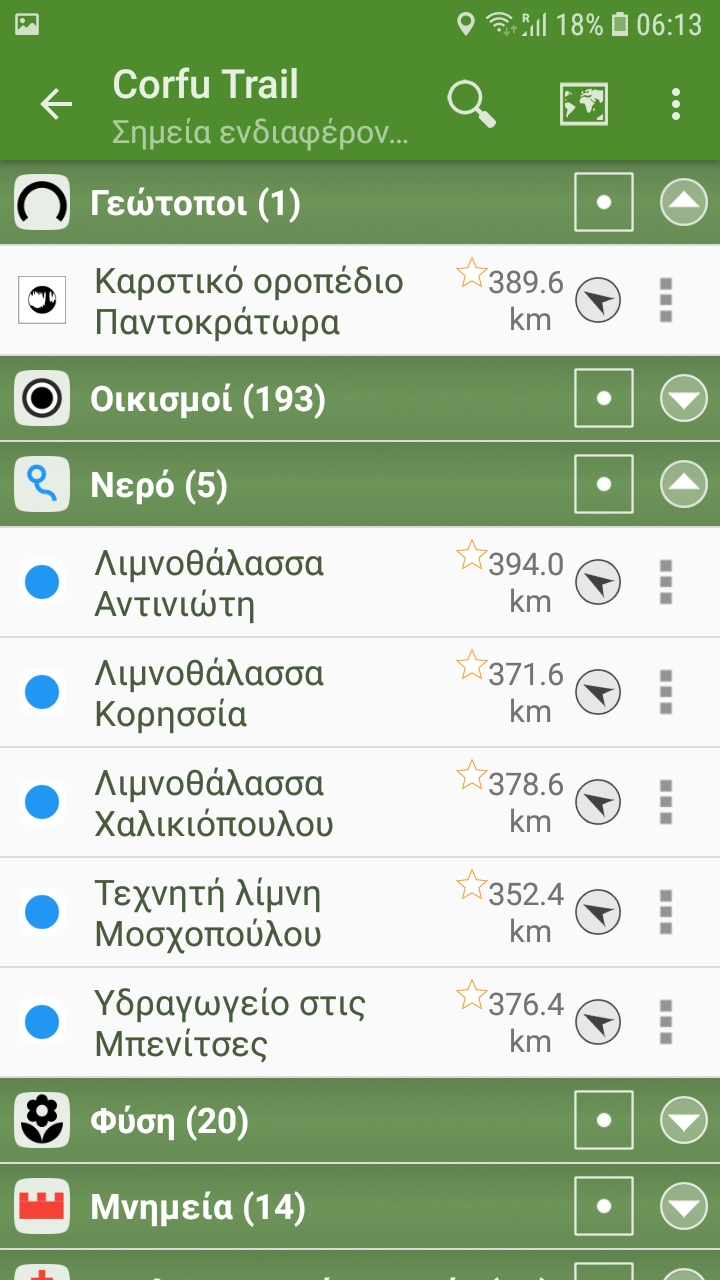
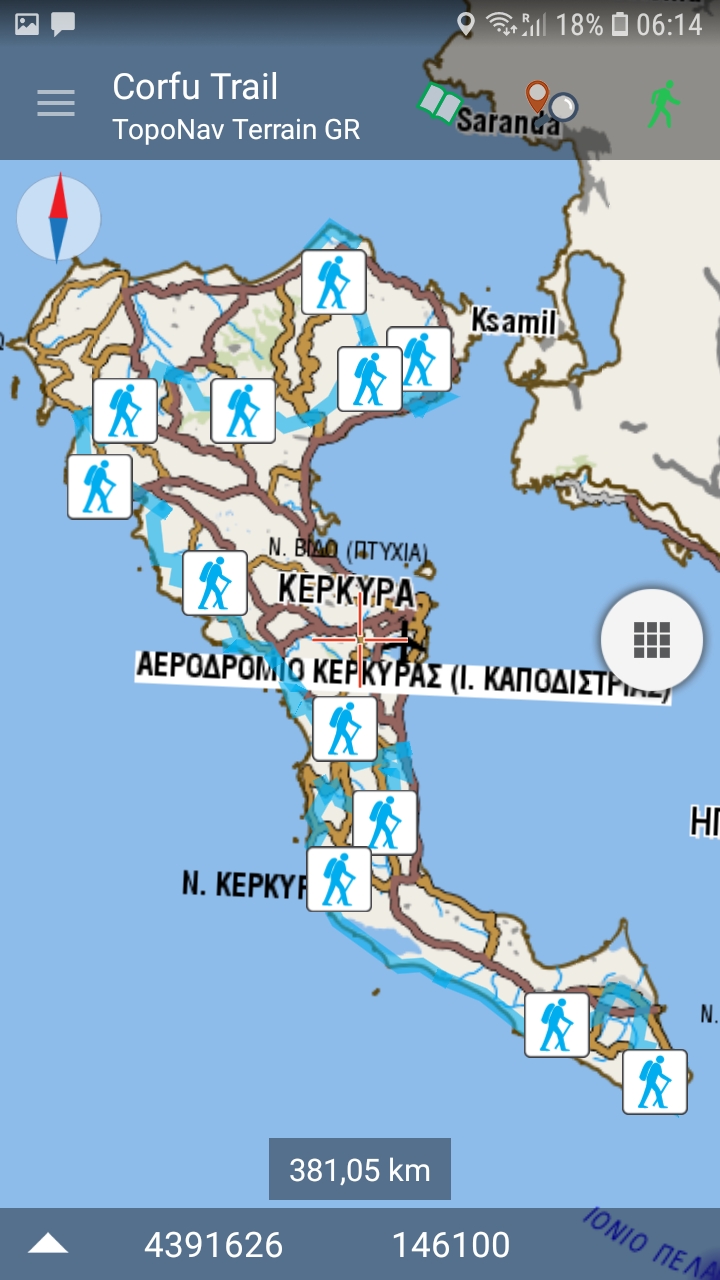
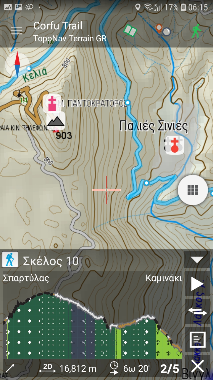
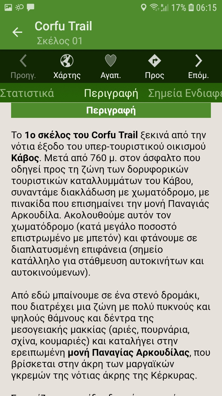
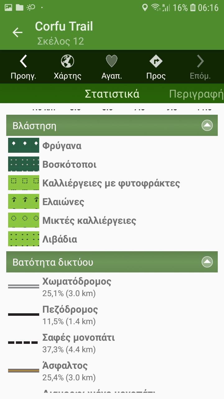
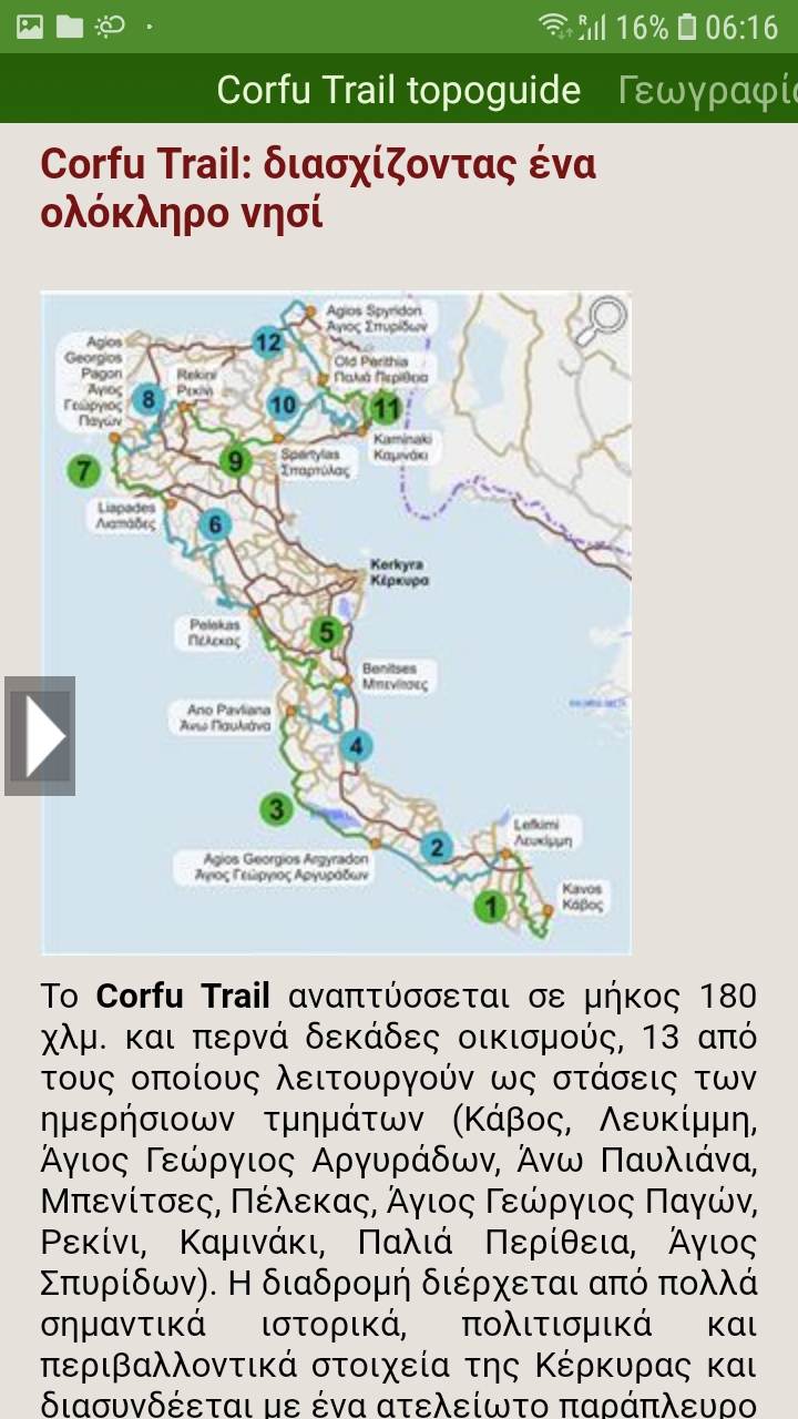
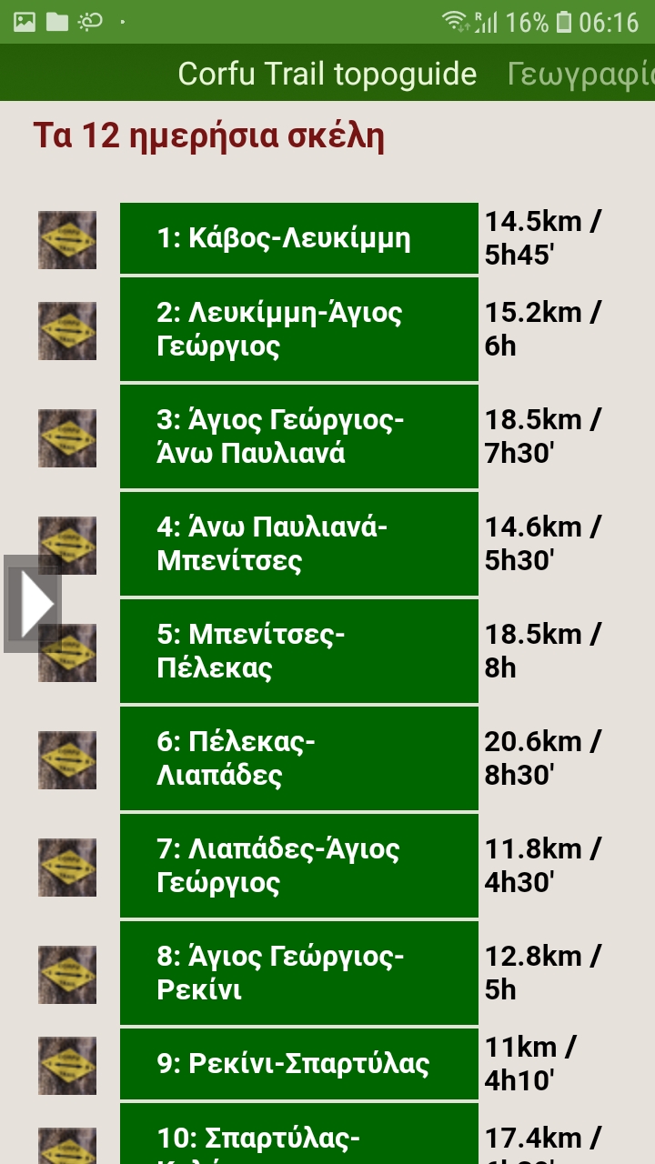
Corfu Trail topoguide is a unique field guide for Corfu Trail. The guide covers the official route, which is 180 km long and is divided into 12 daily sections, each one plotted accurately on the map and detailed with text, POIs and photos. Corfu Trail topoguide provides active navigation to the hiker along the route.
topoguide Greece
Corfu Trail topoguide
Corfu Trail topoguide is a unique digital guide for Corfu Trail.
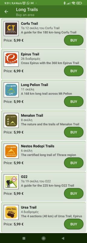
Corfu Trail topoguide is a member of the Long Trails group. Long Trails group includes:
1. Corfu Trail
2. Menalon Trail
3. Nestos-Rodopi Trail
4. Ursa Trail
5. Long Pelion Trail
6. Epirus Trail
7. National Trail Ο22
topoguide Greece provides the possibility to display up to 5 regions or Long Trails at the same time and to search across all their routes and POIs.
Corfu Trail topoguide is available for Android devices as one of 64 regions of Greece offered by the application topoguide Greece. Get the Corfu Trail topoguide as an in-app purchase.
Corfu Trail topoguide is also available for iOS (iPhone και iPad) devices as one of the dozens of regions offered in the hiking application Topoguide Greece. Get the in-app purchase Corfu Trail topoguide and explore Corfu Trail.
