The ancient paths of Attica
of Attica
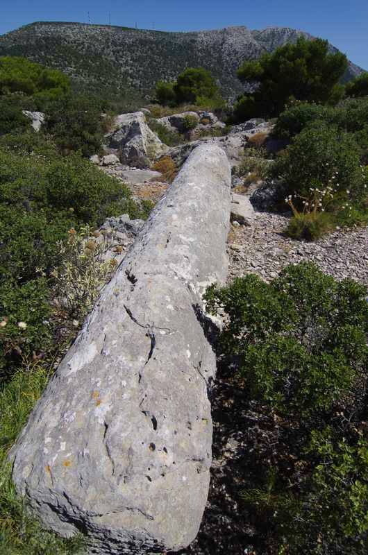
Despite the size of the population that inhabited the basin of Athens and the time span of their presence, for reasons that possibly have to do with the deep mental bond of the Greeks with the sea, the mountains of Attica remained simple observers of the great changes that took place in their feet.
The built witnesses - several forts, some temples, quarries, a few monasteries, windmills, watermills, aqueducts - are rather scarce. Even fewer are the attempts of inhabitation on the mountains surrounding the basin stretching between them - fertile and so hospitable.
Therefore, even today, apart from the wildfires that once in a while turn the clock back to time zero, the mountains of Attica - Mt Parnitha, Mt Pendeli, Mt Hymettus, Mt Kitheronas, Mt Pateras and Mts Geraneia - remain as unpassable places, where one should labour to enter, following the clews of prehistoric paths. Ever changing paths, like other Clashing Rocks, stay open for a few years or centuries and then they perish, while another emerges next ot it, to be trodden and erased in its turn.
Within all these labyrinths, there are some paths that remained intact through centuries, against the destructive wildfires, the aggressive regeneration of the bushes and oblivion. These are the principal veins of the mountain, through which its gods send to humans the strength to continue their unpassable efforts in the lowlands.
But which are these most interesting, in terms of history and hiking, ancient paths of Attica?
Mt Parnitha
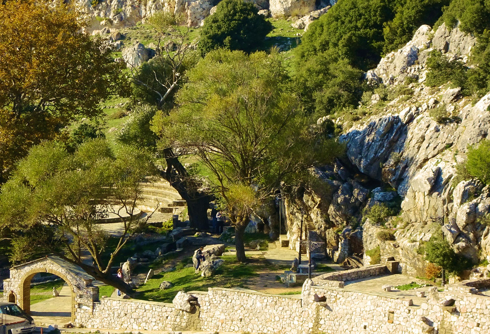
The aquaduct of ancient Elefsis
The routing of the ancient aqueduct from the large spring of Agia Paraskevi, known as Fylis spring, to the city of Elefsis is the longest ancient pathway of Mt Parnitha still maintaining a certain naturalness.
Beside watering the ancient town, this important aquaduct also served the great Elefsinian sanctuary. The aqueduct itself is preserved only in a small part, but the ancient road that ensured its maintainance is still walkable. The hike runs along an impressive natural frame and is very pleasant, particularly in its downhill version.
The route starts from Fyli springs and goes down to the ancient fortress of Fyli, hosted in a nice plateau covered by tall pine trees. One can imagine the uproar that took place in the plateau, when the people of the hamlets around the spring gathered in the plateau to meet the guard of the fortress.
From the fortress, the pipeline - and the path today - went down towards the Giannoula ravine. The aquaduct embraced the terrain peculiarities: in some places, it was possible to keep a course of mild inclination, while elsewhere the line dropped abruptly.
In the middle of the course, there was a group of stone-built water tanks. As the aquaduct was still in use till the 19th c., the last maintenance of these water tanks dates to the late Ottoman period. A bit lower, the aqueduct met the path connecting Fyli to Elefsis. The water continued into a ditch and through clay pipelines to Thriassio Plain, following the sides of the ravine. A small ancient tower testifies the importance of this pathway.
The hike ends at the upper border of the urban complex of modern Elefsina.
A detailed description of the trail The aquaduct of ancient Elefsis, linked to all related POIS of the adjacent area,
is included in the Ancient pathways of Attica guide,
a member of the group Best of Greece of topoguide Greece mobile application.
Mt Parnitha
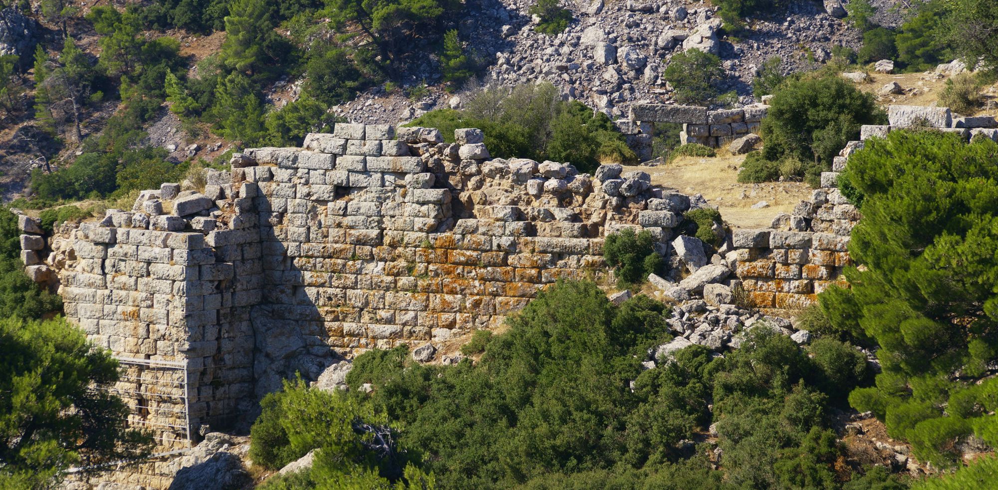
Fyli-Fortress of Fyli-Skourta plateau
Of the ancient roads between the city of Athens and the territories of Thebe, nowadays the ones that have some naturalness and are still attractive as a hiking route, are the axes that pass through Mt Parnitha.
In this chapter, we will check the course of the most important ancient road of Mt Parnitha, which surrounds the western feet of the mountain, just before a smooth yet chaotic system of hills that stretches west to Mt Kitheron.
In its southern part, the route follows the ancient road from the village Fyli to the ancient fortress of Fyli. After the fortress of Fyli, we are forced to use the old - once a cobbled path, nowadays surfaced - road to the Skourta plateau.
Just after Kryo Pigadi, the road descends to the Skourta plateau, where the ancient road from Elefsina also converged. Skourta plateau defines the Theban frontier of classical times.
A detailed description of the Fyli-Fortress of Fyli-Skourta plateau route, linked to all related POIS of the adjacent area,
is included in the Ancient pathways of Attica guide,
a member of the group Best of Greece of topoguide Greece mobile application.
Mt Parnitha
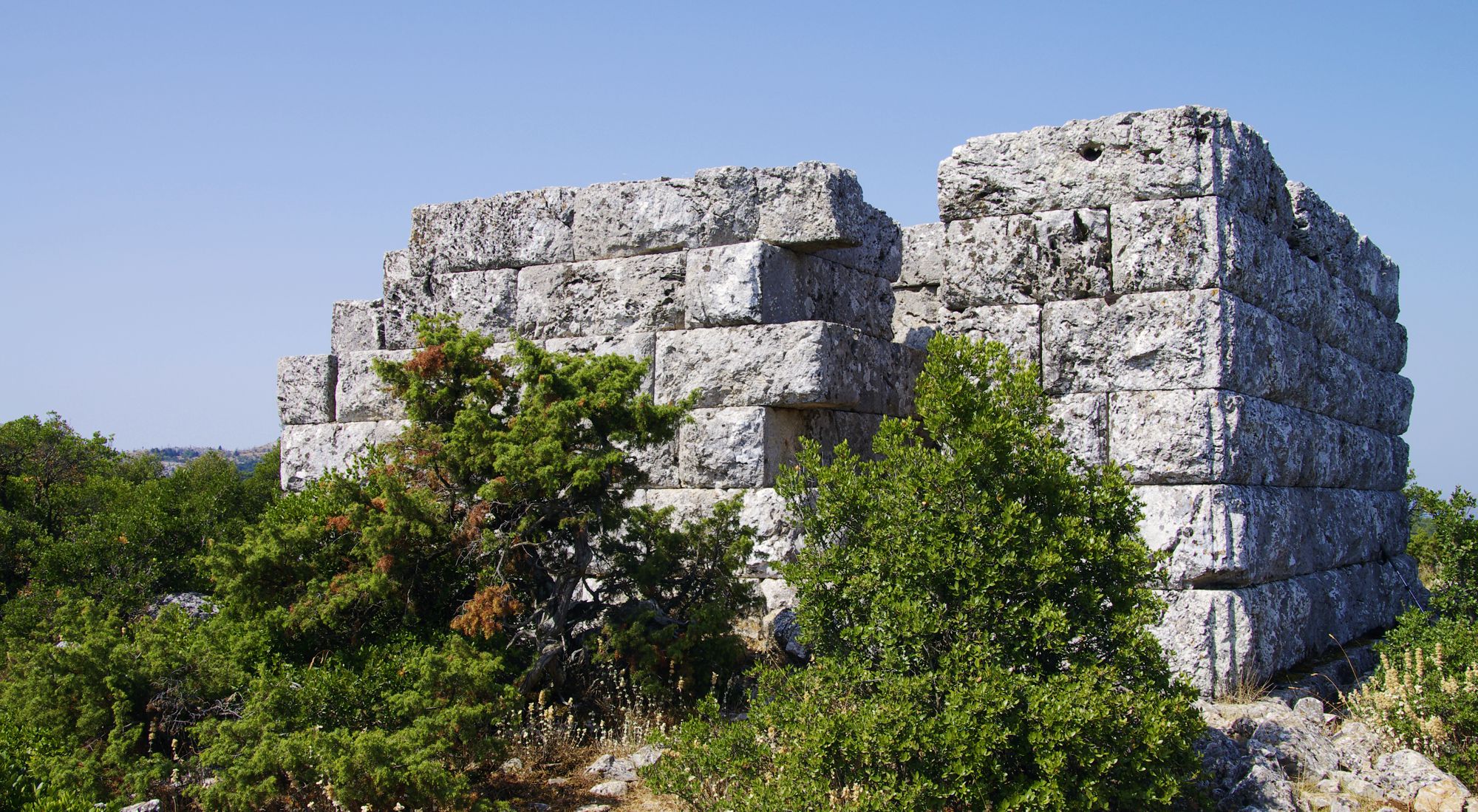
The backdoor of Attica
All the roads that connected Athens with her bitter rival, Thebes, bypassed the massif of Mt Parnitha and meandered on either sides: the road from Fyli to the west and the road from Afidnes to the east.
However, Mt Parnitha did hide other passages, less accessible and more stranuous, but also more cryptic ones. The least controllable zone, a real backdoor for Attica, was a natural corridor starting from southern Tanagra area, zigzaging into the ravines of northern Parnitha and passing behind the peaks of the mountain. Then, the patway went downhill to Athens, either taking the smooth slopes to Tatoi or going directly to Acharnes via the gorge of Chouni. A detachment could cross this route, completely invisible under the dense pines and along the deep ravines, in one day, stay overnight at the southern feet of Mt Parnitha, then bypass the guards of Dhekelia, run along the labyrinthine terrain and reach early in the morning the northern outscirts of Athens.
Aware of this dark and gaping gate behind them, the Athenians set up guards in the heart of Mt Parnitha and built remote towers in prominent places, such as the towers in Pyrgari, Limiko and Katsimidi. The most powerful and the most remote of the three - and the most mythical one - is the tower at Limiko, perched on a rocky hill in the desolation of the mountain.
A detailed description of the Avlona-Limiko-Dhekeleia secret route, linked to all related POIS of the adjacent area,
is included in the Ancient pathways of Attica guide,
a member of the group Best of Greece of topoguide Greece mobile application.
Lavrion district
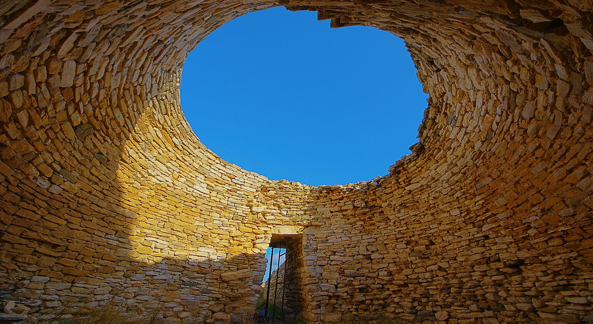
Around Thorikos
The area of Thorikos becomes visible from afar, thanks to the sharp ends of the cones of the vertical hill Velatouri (elevation 145 m.).
The hill, which dominates a green valley - obviously also strewn with ancient remains - was the center of one of the oldest settlements in Attica. The inhabitants of Thorikos said that their city was founded by Kekropas himself, the first mythical king of Athens.
In addition to the agricultural, livestock and marine resources of the place, the prosperity of Thorikos is mainly due to the extraction and processing of the minerals wealth of Lavrion district. The settlement possessed the most leeward of the many natural ports of the area and at the same time developed into an important craft center of enrichment and processing of silver and lead.
The inhabitation in the smooth basin and the hill has been long. Ruins of the acropolis and remains of various installations from the Neolithic period to the later classical years have been found on and around the peak of Velatouri. The last inhabitants left the area after the 6th AD c.
The smooth terrain, the sweet Spring of Attica and the place, full of monuments and wonders, easily motivate the visitor of Thorikos, who usually arrives here to see the theater, try a short hike. The route we suggest is mainly of archeological intrest and follows an obvious path around the hill, a line of gentle slopes that could be located very close to the ancient paths.
A detailed description of the Thorikos area loop walk, linked to all related POIS of the adjacent area,
is included in the Ancient pathways of Attica guide,
a member of the group Best of Greece of topoguide Greece mobile application.
Lavrion district
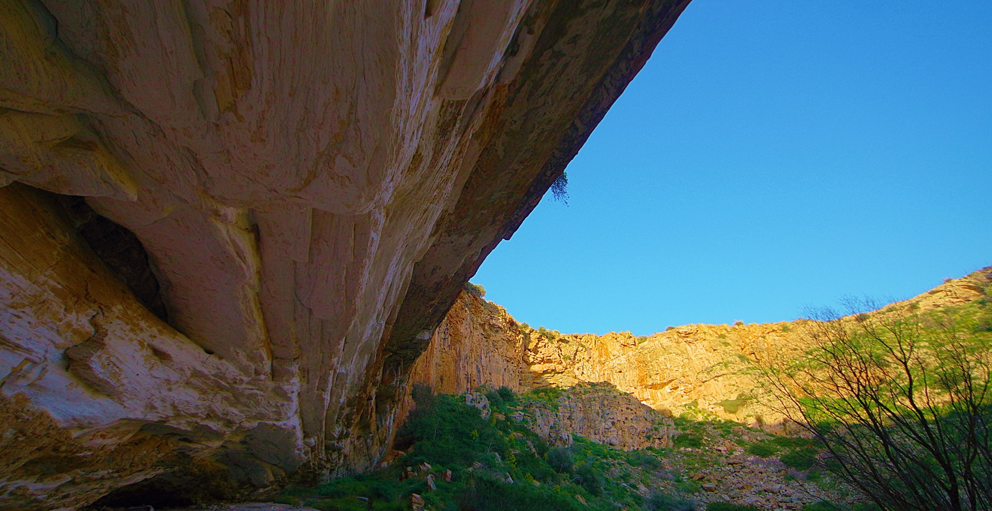
Ancient mines and crafts
The circular route between Lavrio and the Chaos pothhole brings us in contact with the palimpsest of the history of this great mining center of antiquity. The hike follows roads and paths that correspond to the routes of the old times of the Lavrio mines, as far as this is possible in an area that has changed deeply and many times under the radical developments of the local system of production and inhabitation.
It is indeed possible from the gate of the Lavrio Technological Park and as we walk on the ancient road to the upper zone of the mines. On a field that has acquired its morphology and especially its underground wealth over millions of years, it is very reasonable for human constructions to overlap spatially, as they represent a minimal nugget of the temporal continuum: the catholic church of St. Barbara, the warkers quarters, the facilities of the French Mining Company of Lavrio and the large chimney of the arsenic smoke are the latest additions to a 3500 years span of continuous mining activity.
A detailed description of the route across the Lavrion to Chaos mining zeve, linked to all related POIS of the adjacent area,
is included in the Ancient pathways of Attica guide,
a member of the group Best of Greece of topoguide Greece mobile application.
Mt Hymettus
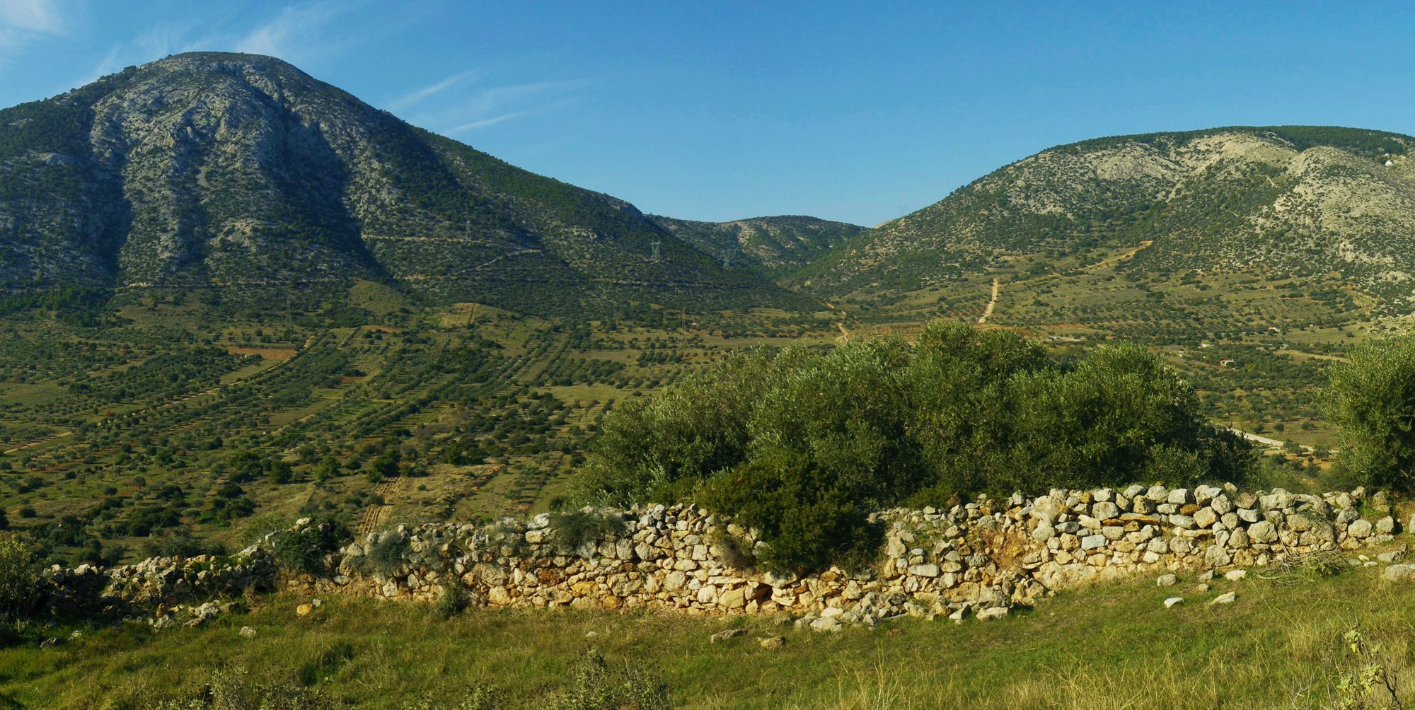
Sfittia Odos
Sfittia Odos (Road) is the shortest communication axis of the Athenian basin with the plain of Mesogeia, a connection used from antiquity to the early 20th c.
Due to the rocky substrate, there had never been etched a road for wheel-motioned vehicles (which always followed the road to Gargitos pass, today's Stavros Agia Paraskevis), Sfittia Odos, however, remained significant thanks to its small length for the rapid access to the eastern districts of the basin and the transports with pack animals.
In antiquity, Sfittia Odos started from the gate of Olympeion of Athena and ended up at Thorikos, near Lavrion, passing by Sfittos municipality, above modern Koropi.
It is mentioned that the king of Athens, Pallas, together with its 50 sones ("Pallantides") and others moved towards Athens against Theseus by using both Sfittia Odos and Gargitos pass.
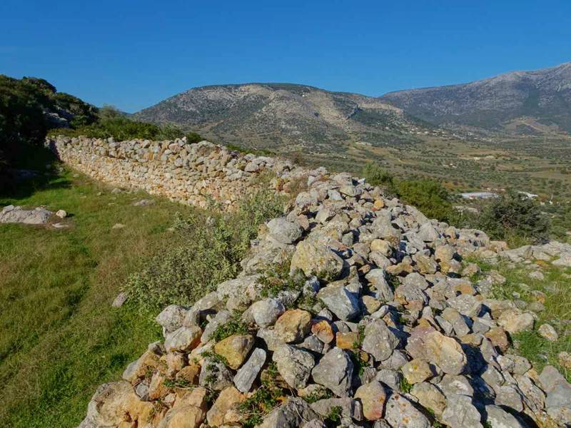
Due to the lack of spring waters, several wells were constructed along the road, some of them preserved until today, such as Douskas well (next to the path) and Fouvagia well (lower, between the churches of Agios Dimitrios and Agios Ioannis).
Αναλυτική περιγραφή της Σφηττίας Οδού
και διασύνδεσή της με δεκάδες Σημεία Ενδιαφέροντος της περιοχή της,
περιλαμβάνονται στην ενότητα Αρχαία μονοπάτια της Αττικής,
μέλος της ομάδας Best of Greece της εφαρμογής topoguide Greece.
Mt Pendeli
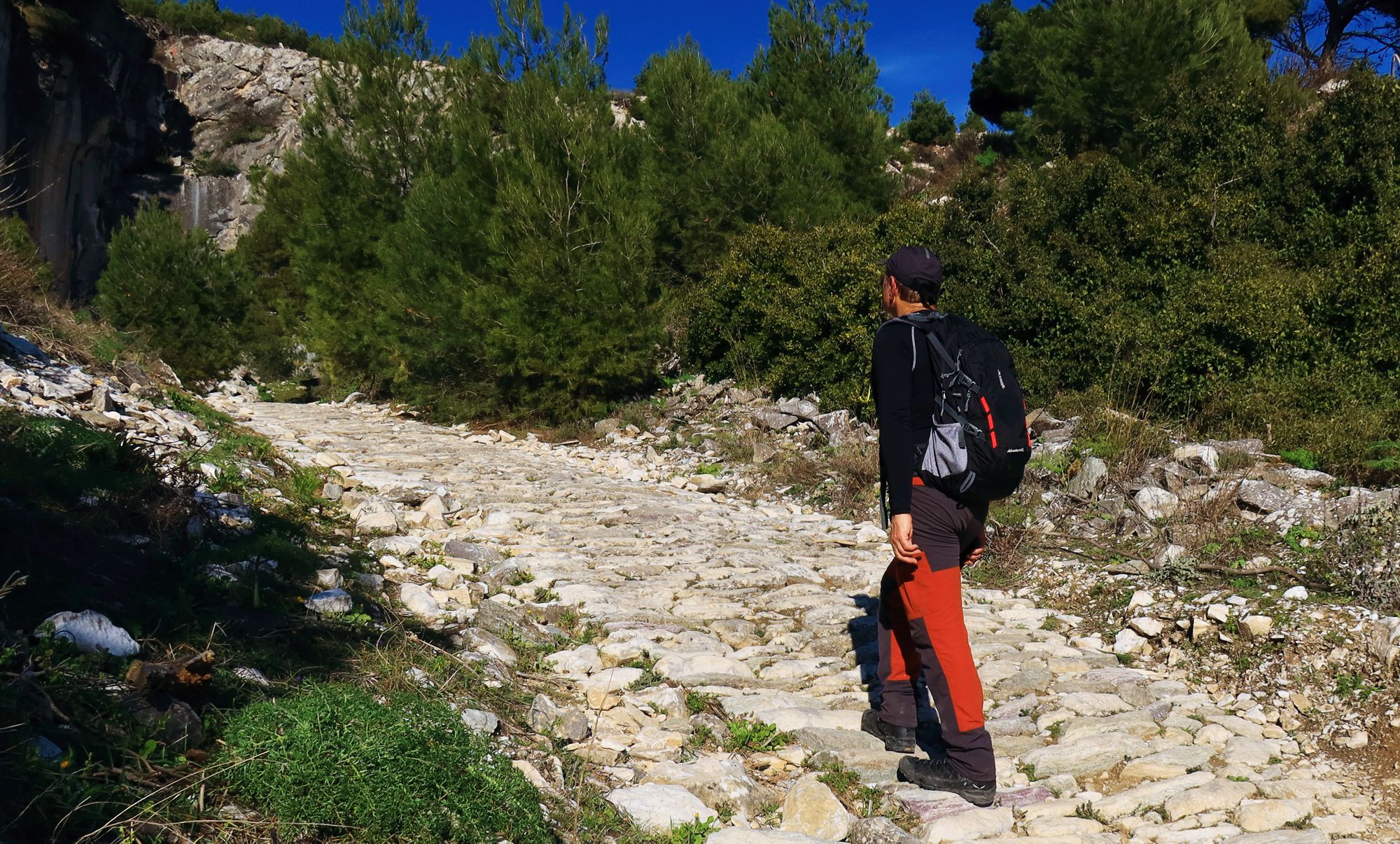
Odos Lithagogias
Transfer of the extracted marble boulders from Mt Pendeli quarries to the Acropolis of Ahtns had been taking place with simple means. It is known from relevant studies that a succession of techniques and means were used, adapted to the conditions of each part of the route. To ensure the safe transfer of the boulders, weighing several tons, on the steep slopes from the quarries to the base of the mountain, a straight stone-paved road had been constructed, the so called Odos Lithagogias (Stone tranfer Road).
From the extraction place, a group of workers with pulleys, counterweights and winches transferred each piece to the top of Odos Lithagogias stone-paved way, where the marble was placed onto wooden sleighs. Sleighs were carefully slided with the assistance of ropes and poles to the stock plateau, on the meadows close to Pendeli monastery. From there, the boulders were loaded on large carriages and tranferred to the Acropolis.
The route of Odos Lithagogia can be repeated today with small diversions from its original routing, due to the intervention of newer quarries and other large obstacles. From the feet of the mountain we suggest to follow the course of the Pendelikon marble through the Chalandri ravine up to Melissia. Along this part, the path is well maintained and properly waymarked.
A detailed description of the Odos Lithagogias trail, linked to all related POIS of the adjacent area,
is included in the Ancient pathways of Attica guide,
a member of the group Best of Greece of topoguide Greece mobile application.
Mts Geraneia
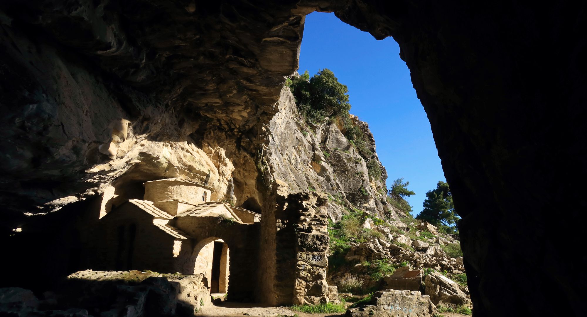
From Saronic Gulf to Alkyonides Bay
It is not clear whether the route from Loutraki to Alkyonides bay - in the way that is planned today based on the modern road and paths network - coincides with the ancient routing. The topography, however, of the valleys east and west of the obligatory pass of Panagia Faneromeni has surely not changed.
The road is composed of surfaced and dirt roads and very good paths. Starting from Loutraki, we will have to rely on the tarmac road network up to Charvati area, where a well maintained and properly marked path heads to Panagia Faneromeni Pass.
Going round the northern side of Mikri Douskia via a road, we will start descending the peculiar reliefs of Megali Douskia on a path, up to the meadow at the base of Inoi acropolis. A final downhill section will bring us to Schinos beach, at the coast of the beautiful bay of Alkyonides.
A detailed description of the Saronic Gulf-Alkyonides Bay route, linked to all related POIS of the adjacent area,
is included in the Ancient pathways of Attica guide,
a member of the group Best of Greece of topoguide Greece mobile application.
Mt Pateras
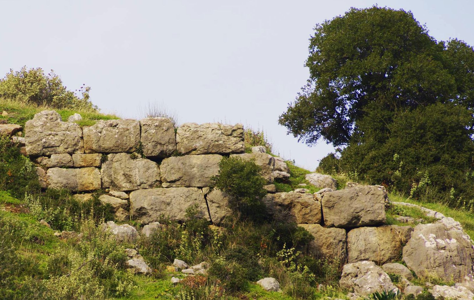
The way of the towers
The ancient road connecting southern Megarida to Aegosthena bay, harbour of Megara on Corinthian bay, but also with the Thebean inland, crossed a low saddle of Mt Pateras, between the modern villages of Veniza and Kriemadi.
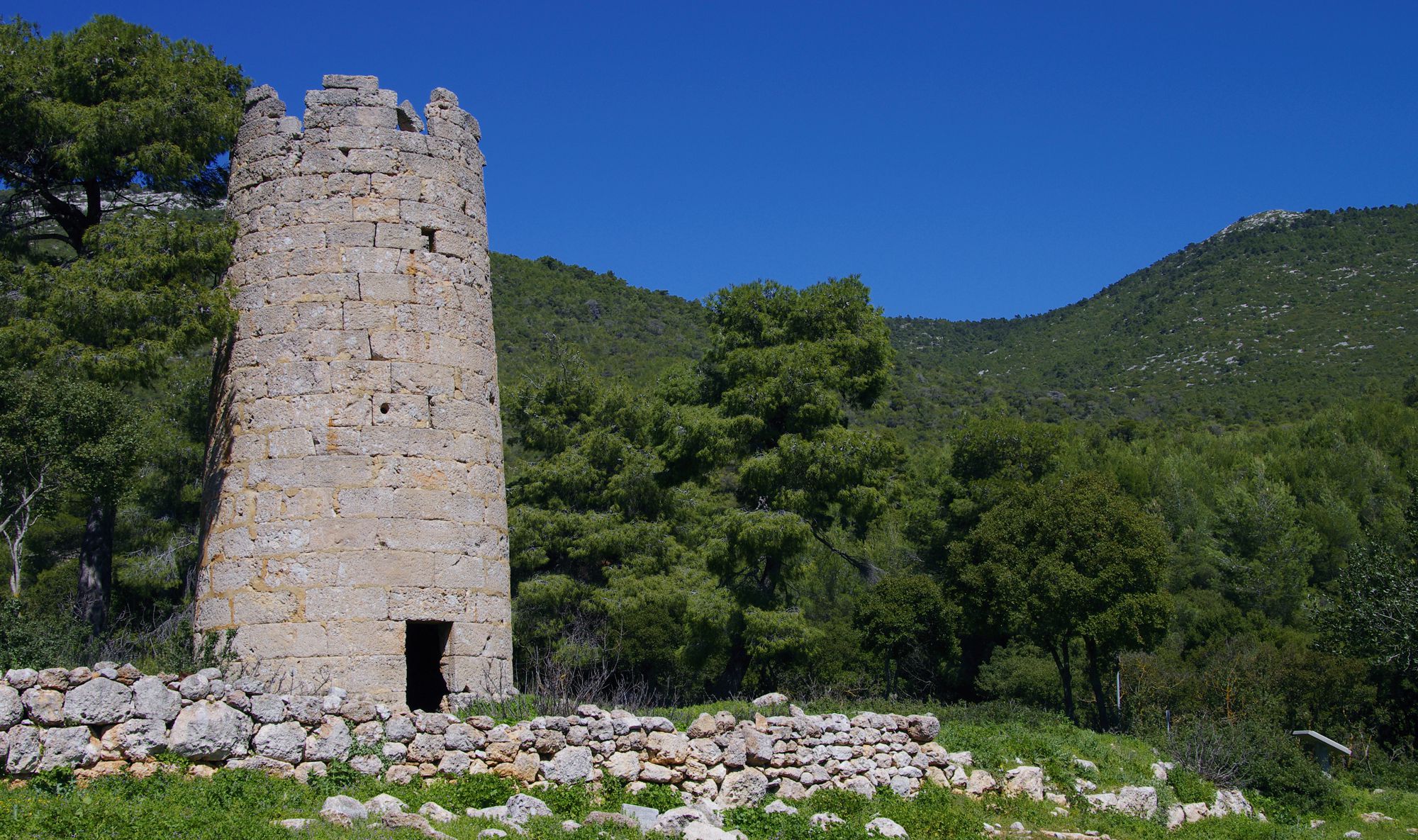
This road is still passable today and retains in some parts the ancient stone pavement, while in some places the tracks that guided in the antiquity the wheels of the chariots are still preserved. The route is easily identifiable thanks to the ancient towers marking all the way through the Vathychoria basin, and therefore, it is called The way of the towers.
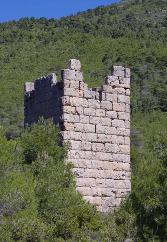
This significant ancient road had been supervised by several towers, five of them have been identified in the wider area of Vathychoria. The first one, ascending from Megara, is located at Mikro Vathychori and is known as "Germeno Tower". It is a tall square tower and served as a defensive and watch tower, securing both the pathway and the adjacent farms.
The second tower lies near the pathway and its purpose was to control the communication with the ancient Pages - today's Alepochori - via Megalo Vathychori basin. The impressive building has unusual circular cross section and is almost intact, reaching 12 m in height. The tower, internally divided into three storeys, is - just like the adjacent square tower - carefully constructed by well carved rectangular stones of local limestone and had also multiple role - supervision, defense, message transmission with fire and the shelter of the local rural community.
One more smaller tower, of which only the basement is preserved - the rest of the building materials was used through the centuries in other constructions around - is situated at Kriemadi, close to Kryo Pigadi well, at the end of the route.
A detailed description of the trail The way of the towers, linked to all related POIS of the adjacent area,
is included in the Ancient pathways of Attica guide,
a member of the group Best of Greece of topoguide Greece mobile application.
Mt Kitheron
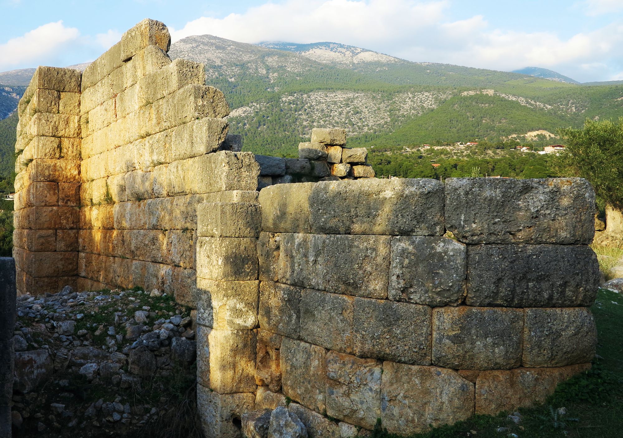
Crossing Mt Kitheron
The ancient pathway that crossed Mt Kitheron, connecting Erythres - and the adjacent Platees - with Eidillia - the name of the town of ancient times occupying the place of modern Vilia - had been part of a longer road that ended at Aegosthena port, a marine gate kept either by the Atheneans or by their allies the Megarians. Despite the bad relationship between Athens and Thebes, one can imagine the attraction that exerted to the people of these Thebean outskirts the existence of the commercial port and the large fortress.
This ancient road between Erythres and Vilia is today a very pleasant route. The path climbs from Erythres up to Kiafa Mouza col and goes down smoothly towards Vilia, passing by the nice place of Goura spring, where there is the chapel of Panagia and the ruins of three watermills.
A detailed description of the trail The aquaduct of ancient Elefsis, linked to all related POIS of the adjacent area,
is included in the Ancient pathways of Attica guide,
a member of the group Best of Greece of topoguide Greece mobile application.

