Discover Kea Island
Discover Kea Island
Kea
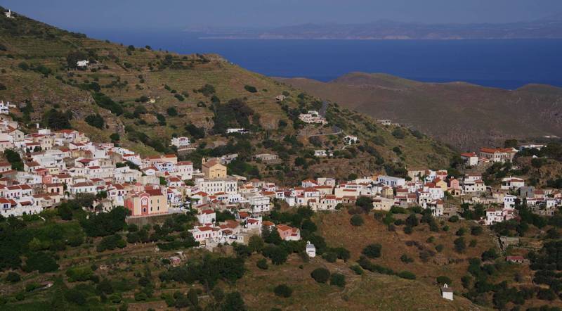
Ioulis
Ioulis
Kea, best known with its popular name Tzia, is the sixth largest island of Cyclades (131 sq. km). Together with Andhros, they define the northern end of the archipelago: Kea looks like the northernmost ring of a chain of islands including also Kythnos, Serifos, Sifnos, Milos and Kimolos.
Kea
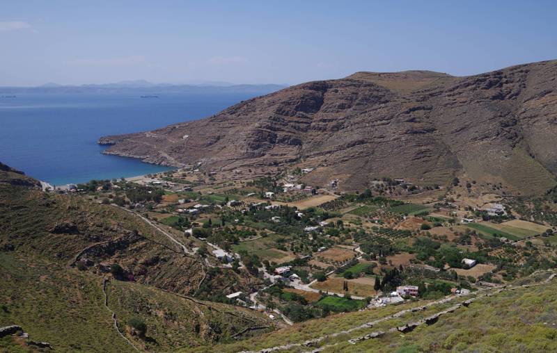
Pisses
Pisses
Kea
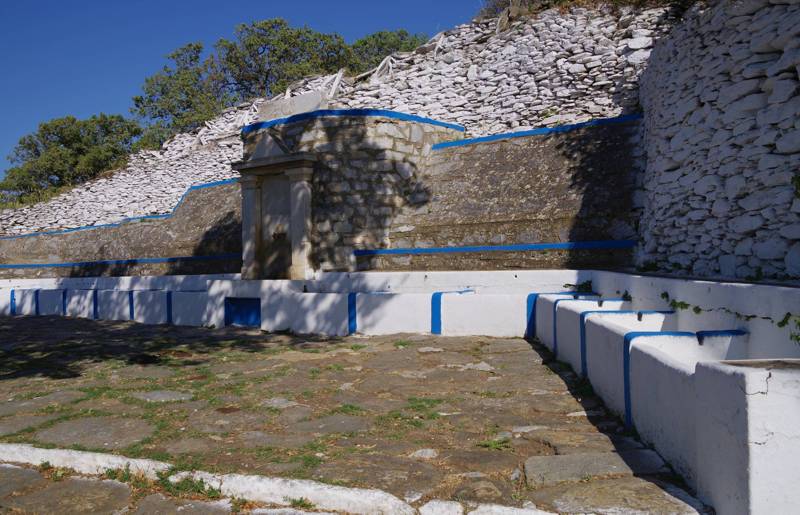
the Benjamin fountain near Ioulis
the Benjamin fountain near Ioulis
Kea
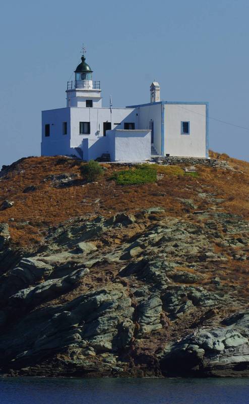
Agios Nikolaos lighthouse in Korissia bay
Agios Nikolaos lighthouse in Korissia bay
The coastline of Kea has a perimeter of 85 km and is danteled with mnumerous small bays. The largest anchorages are the bays of Agios Nikolaos and Otzias and some smaller, such as the bays of Pisses and Koundouros.
Kea
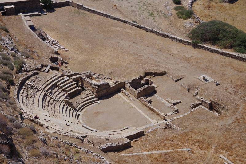
Karthea, the ancient theatre
Karthea, the ancient theatre
Kea
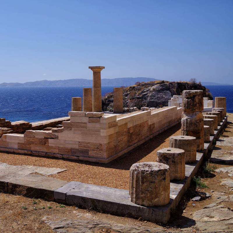
Karthea, the Athena temple
Karthea, the Athena temple

topoguide Greece
KEA TOPOGUIDE
Kea topoGuide is a complete touring and hiking guide for the island of Kea.
Digital field guide Kea topoguide is available for Android devices as an in-app purchase within the application topoguide Greece. Kea topoguide is a member of the Greek Islands group.
Digital field guide Kea topoguide is also available for iOS (iPhone and iPad) devices as an in-app purchase within the application Topoguide Greece. There also, Kea topoguide is a member of the Greek Islands group.
Kea topoguide includes an extended introduction on the geography, the nature and the history of the island.
Kea topoguide also includes data, photos, POIs and descriptions of 19 hiking routes. Once in the field, the application identifies the nearest routes and offers the user active navigation.

