Hiking along Ursa Trail
Hiking along Ursa Trail

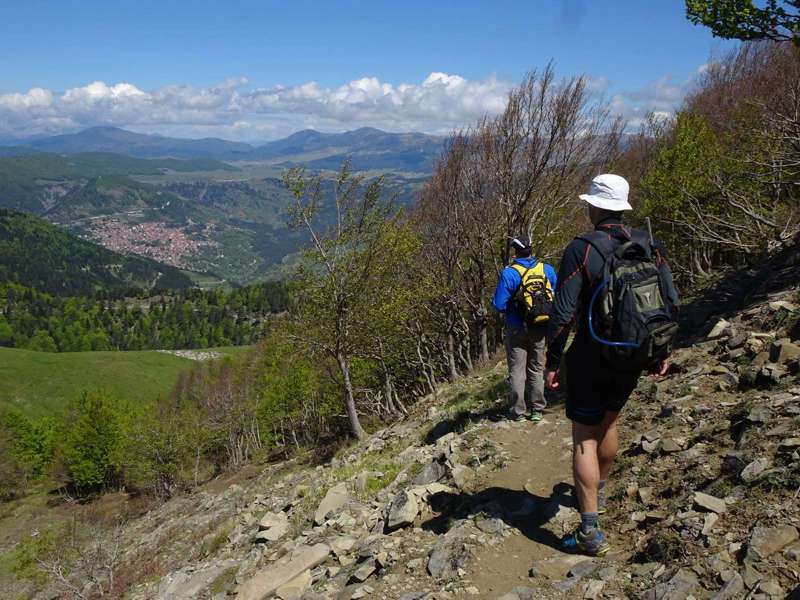
The Ursa Trail is one of the most popular mountain running races. Moreover, the toutes of running Ursa Trail could also be walked as a long mountain hike of 40 km probalbly divided into 4 daily sections. The starting and ending point of this long hike is the town of Metsovo, which is also the overnight/catering plae for all legs.
The 4 sections of the hiking Ursa Trail are:
- Metsovo - Chalet of the Anilio Ski Center (tranfer to Metsovo for the night).
- Chalet of the Anilio Ski Center - village of Anilio - Metsovo.
- Metsovo - Politsoara - Metsovo (tranfer to Metsovo for the night).
- Politsoara - Vale di Liosani - Metsovo.


topoguide greece
The hiker's Ursa Trail

Detailed descriptions, metrics and photos of the four legs of the hiking Ursa Trail area are included in the Ursa Trail topoguide hiking guide.
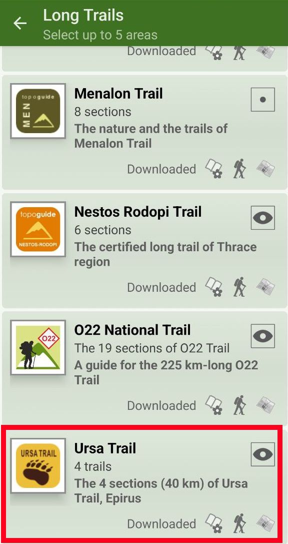
Ursa Trail topoguide is available for Android devices as one of dozens of regions of Greece offered by the application topoguide Greece. Get the Ursa Trail topoguide as an in-app purchase.
Ursa Trail topoguide is also available for iOS (iPhone και iPad) devices as one of the regions offered in the hiking application Topoguide Greece. Get the in-app purchase Ursa Trail topoguide and explore the beautiful area of Metsovo.

