Corfu Trail: the master map
Corfu Trail master map
Points of Interest
Corfu Trail is designed to offer a relative flexibility, depending on the pace, the desired duration of the daily course and the temper for detours or other interests. Thus, there are no mandatory starting and ending points for each daily section: the hiker is free to decide in which of the available stops will stay overnight and in many cases may choose to shorten a course by using a "shortcut" in a route, either by covering a section of roads with the help of a vehicle or by bridging two routes via a shorter variant. Consequently, one can cover the route from Kavos to Agios Spyridon in 8, 10 or 12 days. The current route description however keeps the daily lengths in reasonable sizes and organize the route into 12 sections.
The 12 sections Corfu Trail
topoguide Greece
Corfu Trail topoguide
Corfu Trail topoguide ia a unique digital guide for Corfu Trail.
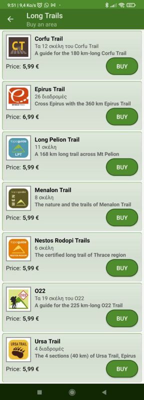
Corfu Trail topoguide is a member of the Long Trails group. Long Trails group includes:
1. Corfu Trail
2. Menalon Trail
3. Nestos-Rodopi Trail
4. Ursa Trail
5. Long Pelion Trail
6. Epirus Trail
7. National Trail Ο22
topoguide Greece provides the possibility to display up to 5 regions or Long Trails at the same time and to search across all their routes and POIs.
Corfu Trail topoguide is available for Android devices as one of 64 regions of Greece offered by the application topoguide Greece. Get the Corfu Trail topoguide as an in-app purchase.
Corfu Trail topoguide is also available for iOS (iPhone και iPad) devices as one of the dozens of regions offered in the hiking application Topoguide Greece. Get the in-app purchase Corfu Trail topoguide and explore Corfu Trail.


