Nestos-Rodopi Trail: the 6 daily sections
Nestos-Rodopi Trail: the 6 daily sections
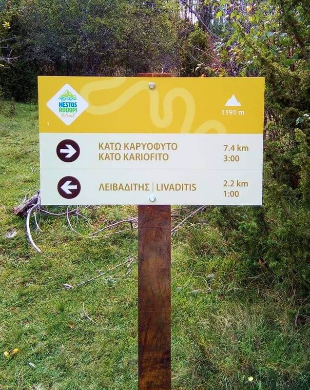
Direction board
The route is marked according to the standards of the European Ramblers' Association, in the framework of Leading Quality Trails-Best of Europe certification with 6 main information boards, 12 route boards and several dozens of direction, information and warning boards. At the same time, more than 2500 confirmation marks have been placed along the route. Finally, all technically difficult points have been secured with appropriate constructions and information boards.
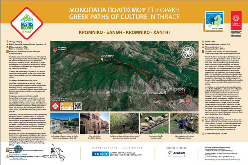
Route board
1. Xanthi-Kromniko
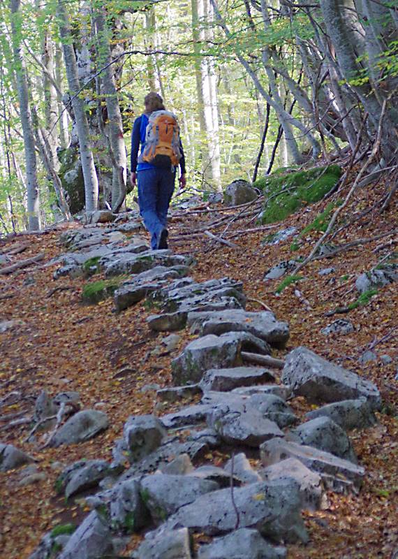
On Xanthi-Kromniko path
The first section of Nestos-Rodopi Trail from Xanthi to Kromniko (18.8 km, 8 hours) starts from the central square of Xanthi and ascends towards the Ecclesiastical School of Xanthi. It goes around the base of Avgo massif up to Xanthi Casino and then descends to the upper part of Chrissa.
Here is where the trail starts. At first, we follow the aqueduct trench. The field gets gradually smoother and crosses a large beech forest with old livestock facilities and meadows and ends at Achlada plateau.
From Achlada, we continue in a dirt path, which gradually enters a stony field. After a basin with a meadow we reach a large shoulder (dirt road). From then on the path is downhill and well-etched and ends without other junctions in the upper part of Kromniko.
2. Galani-Kromniko (Nestos Gorge)
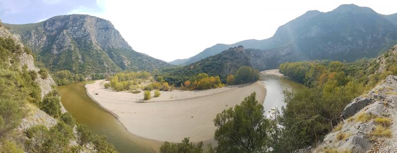
Nestos Gorge
The 2nd section of Nestos-Rodopi Trail from Galani to Kromniko (Nestos Gorge) (9.9 km, 4h30min) starts from the end of Galani-Nestos Gorge asphalt road (spacious parking lot and information image collection). We enter the carved on the rock path, following the axis of the railway line, maneuvering among the relief folds. The path is wide and safe and descends in places at the level of the railway line and then ascends again a few tens of meters higher. Finally, it reaches a large plain area, which crosses it south of the railway line and very close to the river and then returns to the railway line, crosses it and starts ascending a smooth slope with dense Mediterranean scrub. It gradually enters a ravine, following it up to the abandoned Kromniko plateau. The section ends at the upper part of the valley with the ruins of the deserted settlement, at the asphalt road.
3. Kromniko-Stavroupoli
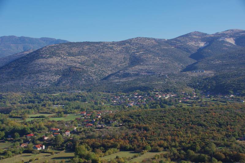
Komnina
The 3rd section of Nestos-Rodopi Trail from Kromniko to Satvroupoli (10.7 km, 4h30min) starts from the abandoned village of Kromniko. Following a very clear downhill path, which gradually turns to a stone-paved path, the route meets the central Galani-Komnina asphalt road. From here, the route follows the downhill dirt road, bypassing Komnina, within a rural landscape. After the end of the village, a small part of the route steps onto an old stone-paved road within the forest. Afterwards, the route bypasses the monastery of Agios Konstantinos by using rural dirt roads and turns right, to pass among cultivated land in the banks of Nestos, which it follows parallelly via dirt roads and path up to the central square of Stavroupoli.
4. Stavroupoli-Kato Karyofyto
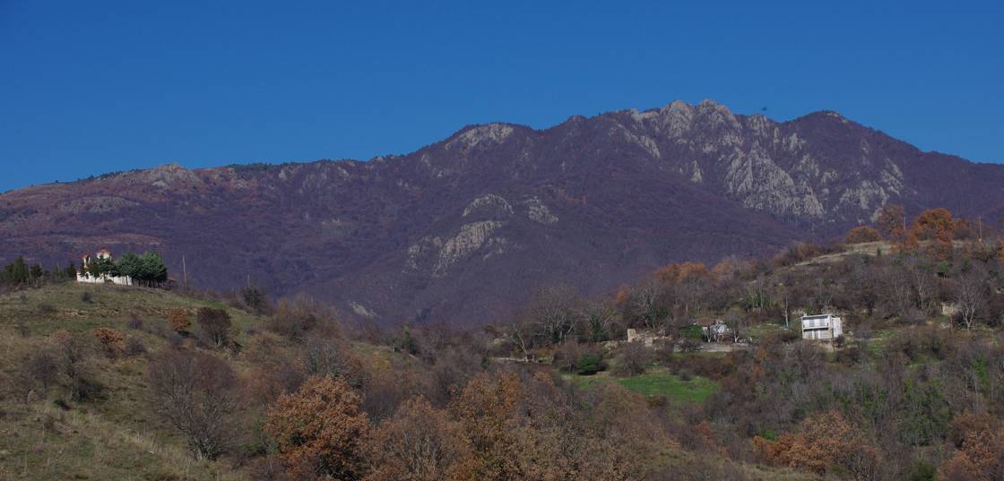
Kalo Nero
The route section from Stavroupoli to Kato Karyofyto (15 km, 5h-5h30min) is the key-section for the interconnection of the route.
From the center of the town, we follow alleys, dirt roads and path up to Maika spring. From here the trail follows the ravine and reaches at the end the axis of the ravine. We follow the stream bed for a few hundred meters and leave it to ascend with maneuvers a rather steep slope. We reach a very plain ridge leading to a dirt road, where there is a trough. From the trough we access a large stable via dirt road and path, bypass it and continue on a good path leading to Xanthos ridge. We ascend the smooth ridge up to a large kiosk west of Kalo Nero. We go round the ruins of Kalo Nero and enter athe clear path to Kato Karyofyto, bringing us to the village cemetery. We cross the nice single-arched bridge of Agios Ioannis and reach the road center of Kato Karyofyto.
5. Kato Karyofyto-Livaditis
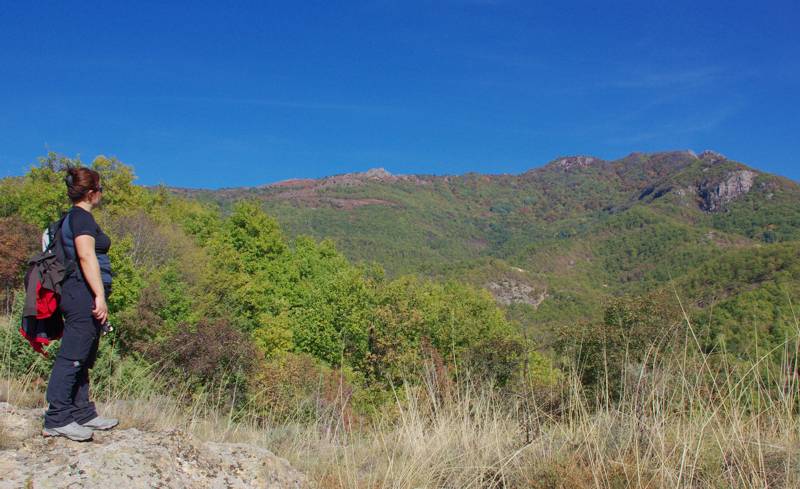
On Kato Karyofyto-Livaditis route, facing Ampar-Kagia
The 5th section of Nestos-Rodopi Trail covers the distance between Kato Karyofyto and Livaditis (9.8 km, 4h30min). The route starts from the road center of Kato Karyofyto and exits the settlement via alleys to enter a rough road leading to a bare ridge. We continue upon the ridge axis, in intermittent trails, cross a dirt road and continue right opposite on a clearer but more uphill trail. At its end, we reach a shoulder with nice view, where there is a large wooden kiosk. We continue on a good livestock trail passing by the point where two ravines confluent and smoothly ascends to the large Livadotopos plateau up to twin troughs and dirt road. From here we ascend to a small col and descend to Livaditis basin. Following a combination of trails, alleys and roads we reach EOS Xanthis (Xanthi Mountaineering Club) refuge.
6. Livaditis-Erymanthos Forest Village
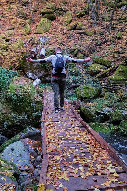
The wooden bridge at Arkoudorema
The section Livaditis-Erymanthos Forest Village (9.1 km, 4h) starts from EOS Xanthis (Xanthi Mountaineering Club) refuge and via road and clear path
reaches and crosses the central asphalt road. We pass right opposite in a downhill well-etched path within the wood, which passes by small meadows and goes decisively down to Vathyrema. We ascend a clear path and reach a kisok and a junction. On our left, the very clear path leading to Livaditis waterfall deviates.
From the kiosk we continue on good path with configured deck. We reach the leisure area and continue on dirt road up to the start of the final part of the path. Ascent takes place on a rather steep dirt trail within beech forest. Higher, the slope is reduced and the trail gets smooth and well-etched, bringing us to Erymanthos Forest Village, where there are accommodation and dining facilities.
Text and photos by T. Adamakopoulos
A hiking guide of topoguide app series, dedicated to Nestos-Rodopi area, is under development. However, all trails of the area are already included in the hiking application topoguide Greece, available for both Android and iOS (iPhone και iPad) devices.
topoguide Greece provides full coverage of Greece with hiking off-line maps and thousands of POIS and offers tracking and navigation services.

