Alonistena: trails, history, facilities, routes
Alonistena
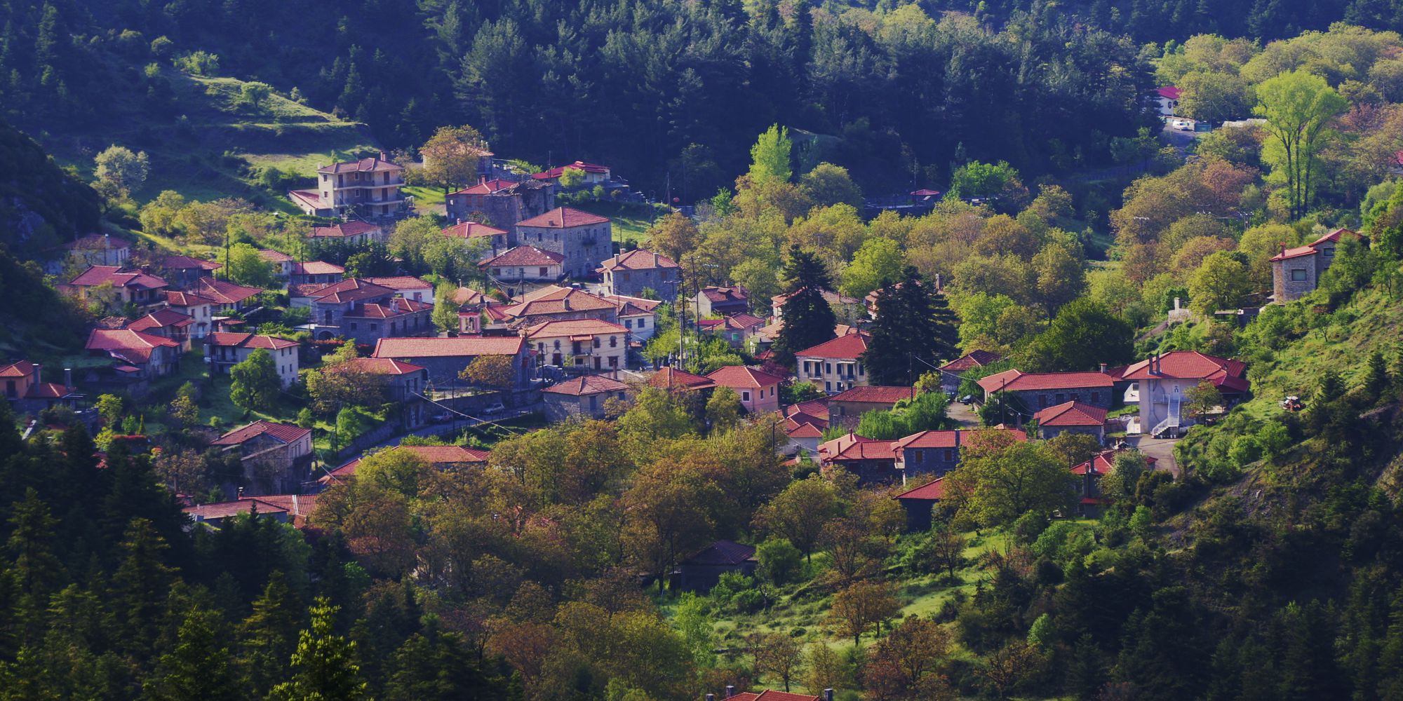
Alonistena is one of the most mountainous and remote villages of the Peloponnese. Hidden in an inner valley, at the head of the Elisson river hydrological system, Alonistena stretches on either side of a gully rich in springs and waters.
A village nestled within the forests and waters, Alonistena lived its heydays when the need for shelter and the value of mountain resources were at their peak, only to gradually lose its demographic vigor, feeding the surrounding towns and cities, as well as America.
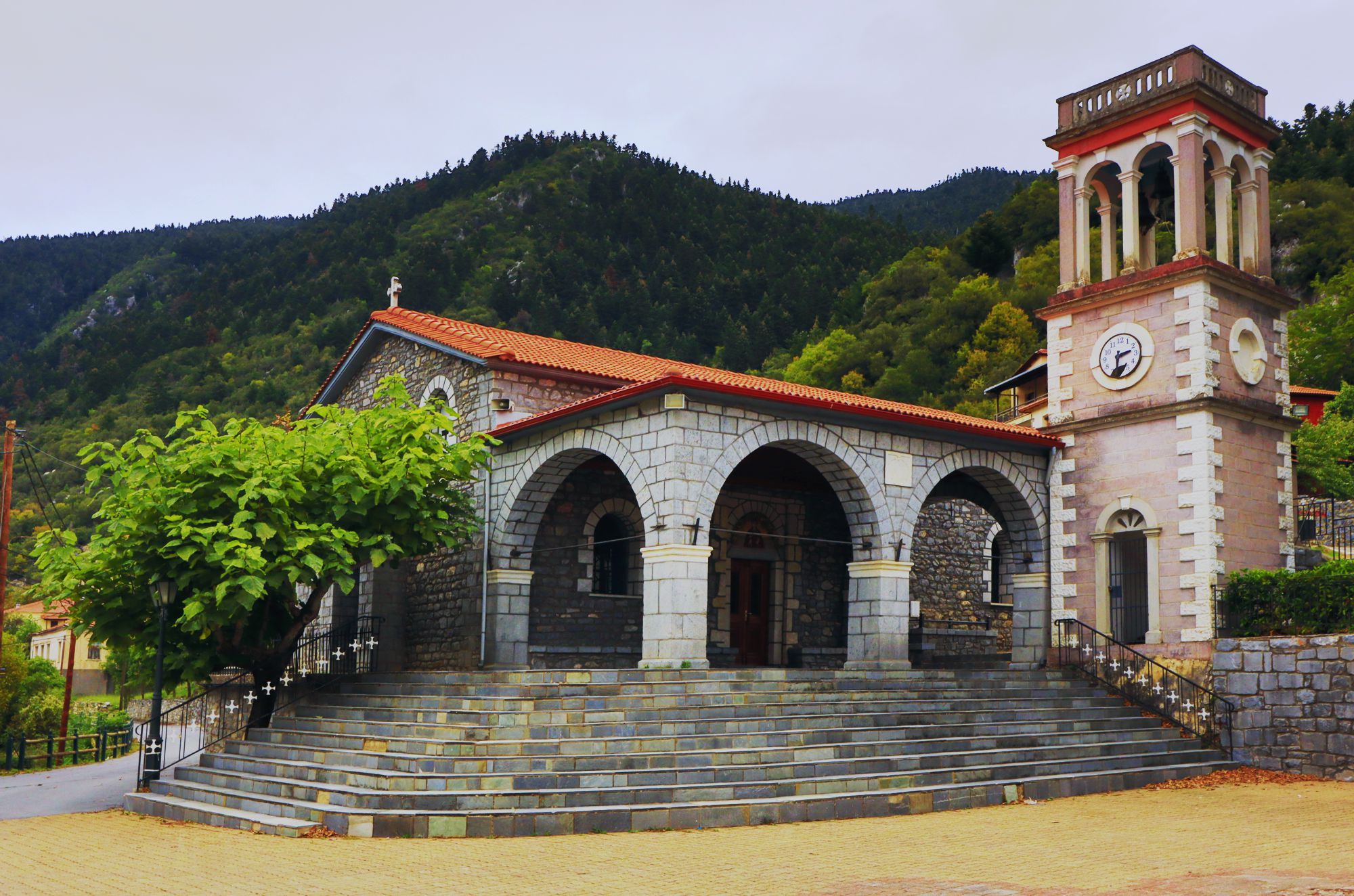
The parish church of Alonistena is dedicated to Agia Paraskevi
Alonistena is built at an elevation of 1,200 m and is one of the most mountainous settlements in the Peloponnese. It is assumed that it was formed during the Frankish occupation, like many other mountainous villages of the Peloponnese. Its period of prosperity began in the late Ottoman period and lasted until the middle of the 19th century, coinciding with the upward trend of most mountain communities throughout the country. It is said that the village reached 2000 inhabitants.
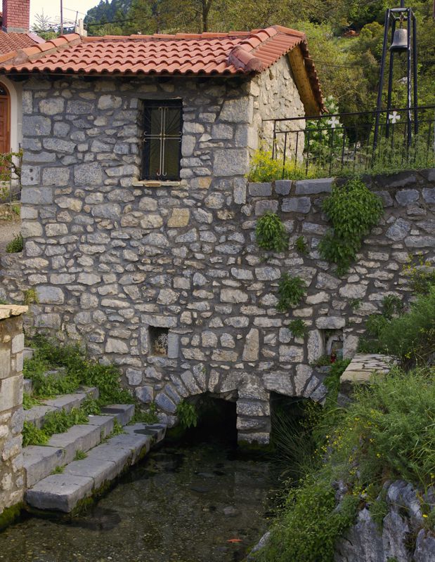
The chapel of Agios Nikolaos, covering the main spring of the village
Following the common fate of the mountain villages, Alonistena gradually shrink to its present size of 200 people. However, although its location is outside of the main road axis of Gortynia, the village maintains a small nucleus of life around the shops and guesthouses throughout the year.
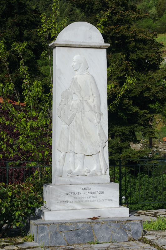
Memorial of Zambia Kotsaki, mother of Theodoros Kolokotronis
The parish church of Agia Paraskevi, built in 1898, dominates the centre of the settlement. In its precinct is the tomb of Theodore Kolokotronis' mother, Zambia Kotsaki. Other noteworthy spots of Alonistena are the small church of Agios Nikolaos, built literally on the central spring of the village, the ruined old hotel and the also ruined large sanatorium in the passageway to Vytina.
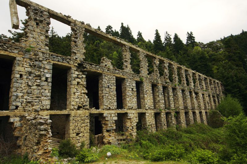
The old sanatorium of Alonistena
Thanks to its interesting architecture, Alonistena is protected a traditional settlement since 1998.
Text and photos by T. Adamakopoulos

topoguide Greece
A guide to Mt Menalon
Mt Menalon topoguide is available for Android devices as one of the dozens of available region of Greece via the topoguide Greece application. Mt Menalon topoguide is a member of the Peloponnese group. Get the Mt Menalon guide as an in-app purchase through the app.
Mt Menalon topoguide is also available for iOS (iPhone & iPad) devices via the application Topoguide Greece. Get the Mt Menalon guide as an in-app purchase through the app, found in the Peloponnese group.
topoguide Greece offers active navigation along the trails, as well as a comprehensive guide to the geography, the nature and the culture of the area.


