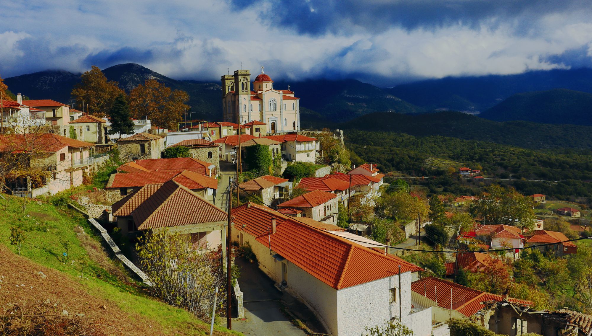
Piana: trails, history, facilities, routes
Piana
Piana is built around a naturally defenced hill, at the top of which stands the parish church of Agios Georgios.
It is a settlement born during the late Ottomam period, which flourished and developed after the 1821 Revolution. Thanks to its short distance from Tripoli and its abundant agricultural resources, Piana retained some of its former strength until the late 20th century.
Several springs arise near the site of the settlement, some of which have been ornamented with beautiful fountains, such as the the main square fountain, the Kappas fountain, and the Afentis fountain in the Kato Machalas neighborhood.
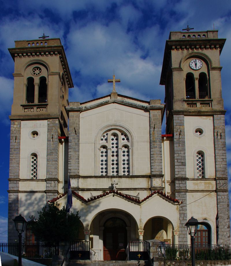
The imposing church of Agios Georgios in Piana, a building of the beginning of the 20th century
Today, part of the waters of Elisson are diverted to the supply system of Tripoli.
Near the main square of Piana, a small Folklore museum is hosted in a renovated old house. The museum exhibits items from the rural life of the village, as well as some ecclesiastical objects.
In the summer, a guest house and restaurants are available in the village.
Hiking routes around Piana
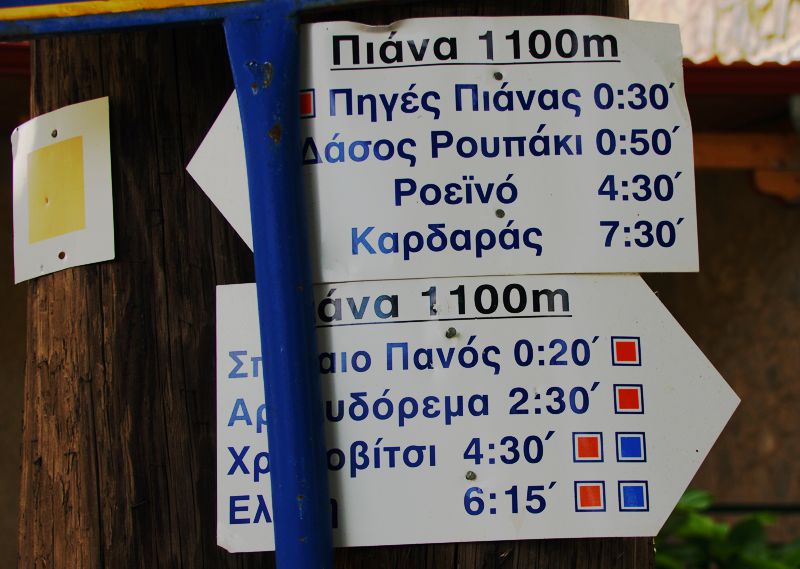
Signpost of Orange Trail set in the main square of Piana
The Orange Trail, a long crossing of Mt Menalon marked by the Club of Arcadian Mountaineers and Ecologists (SAOO), passes through Piana. The Orange Trail intersects with the Blue Trail.
Text and photos by T. Adamakopoulos

topoguide Greece
A guide to Mt Menalon
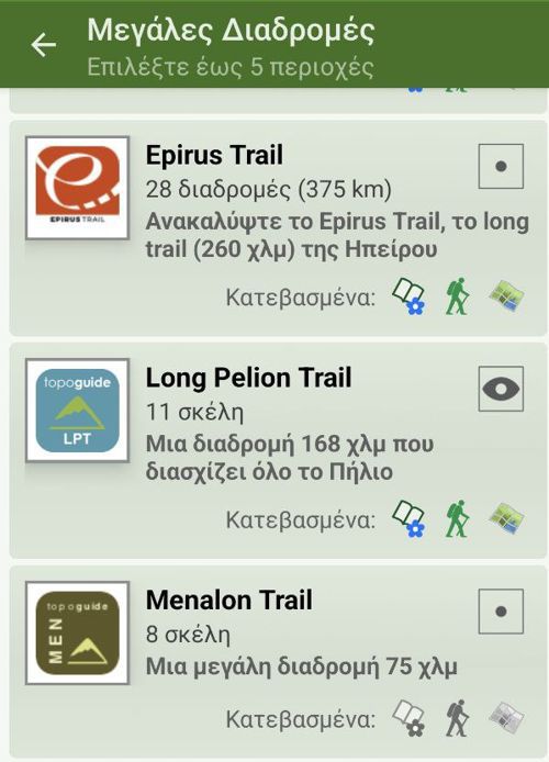
Mt Menalon topoguide is available for Android devices as one of the dozens of available region of Greece via the topoguide Greece application. Mt Menalon is a member of the Peloponnese group. Get the Mt Menalon guide as an in-app purchase through the app.
Mt Menalon topoguide is also available for iOS (iPhone & iPad) devices via the application Topoguide Greece. Get the Mt Menalon guide as an in-app purchase through the app, found in the Peloponnese group.
topoguide Greece offers active navigation along the trails, as well as a comprehensive guide to the geography, the nature and the culture of the area.


