Pyrgaki: trails, history, facilities, routes
Pyrgaki
Pyrgaki is located on a spacious plateau, at an altitude of 1,063m, on the northern slopes of the Madara peak and midway between the main Vytina-Dimitsana road and the village of Elati.
The site is on the southern slopes of the Mylaon valley, opposite Methydrio and the monastery of Agii Theodori. The valley has dense riparian vegetation, which gradually recovers the lower estates of the village.
The name of the village refers to a tower or small fortress, which probably controlled the old road crossing the valley of the upper Mylaon river. The shoulder where the chapel of Agios Nikolaos is built, a little to the north of the village, is a particularly suitable place for the supervision of the passage.

Mt Menalon topoguide
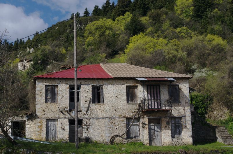
A 19th century, two-storey mansion in Pyrgaki
A 19th century, two-storey mansion in Pyrgaki
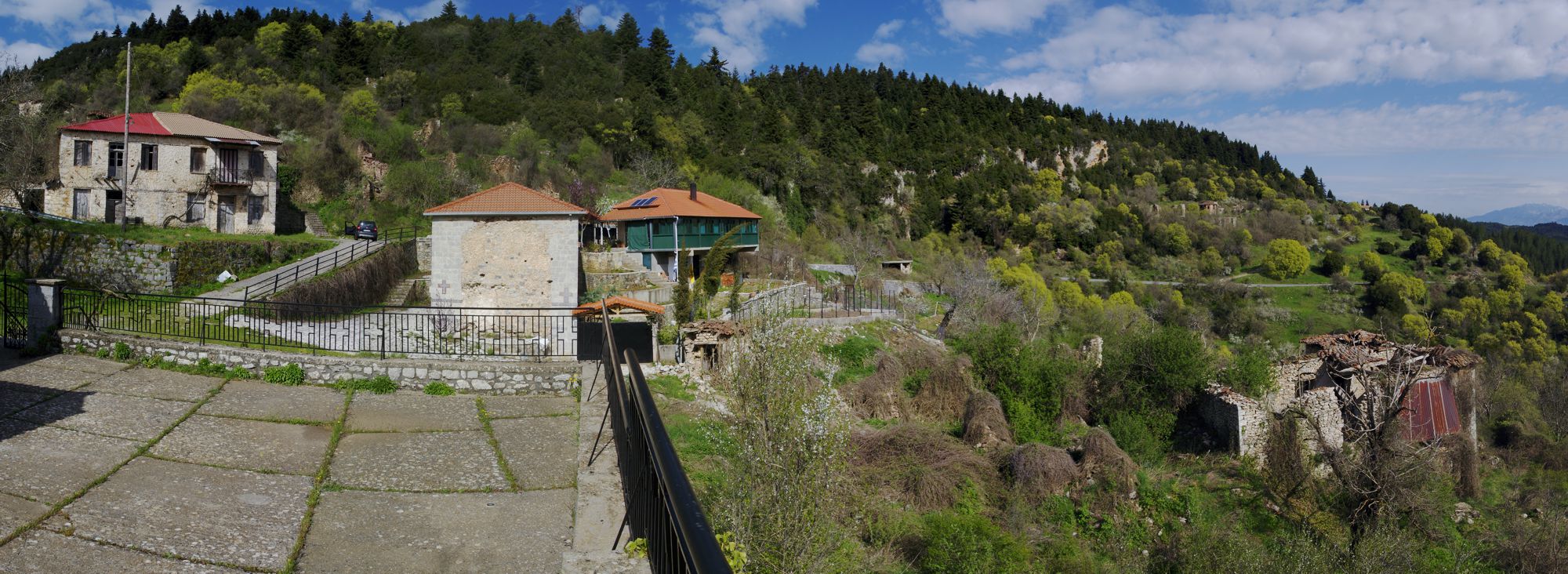
The small village of Pyrgaki saw its population gradually decrease after the war. The village was finally abandoned when began successive landslides that destroyed some houses. Part of the inhabitants moved to Pyrgos Trifylias, while another group founded the Pyrgiotika village in the Nafplion area.
Today, apart from a few renovated or newer houses alongside the road, the rest of the village's buildings are in ruins. The beautiful church of Agios Ioanis, however, is preserved in good condition.
The area around the village is overgrown with fir trees.
There are no facilities in Pyrgaki. The nearest catering and accommodation facilities are in Elati, which is only 1.7 km away.
Text and photos by T. Adamakopoulos

topoguide Greece
A guide to Mt Menalon

The most comprehensive companion to the nature, the history, the mmonuments and the trails of Mt Menalon is the digital guide Mt Menalon topoguide.
Mt Menalon topoguide is available for Android devices as one of the dozens of available region of Greece via the topoguide Greece application. Mt Menalon is a member of the Peloponnese group. Get the Mt Menalon guide as an in-app purchase through the app.
Mt Menalon topoguide is also available for iOS (iPhone & iPad) devices via the application Topoguide Greece. Get the Mt Menalon guide as an in-app purchase through the app, found in the Peloponnese group.
topoguide Greece offers active navigation along the trails, as well as a comprehensive guide to the geography, the nature and the culture of the area.


