Hiking on Mt Parnon
Hiking on Mt Parnon
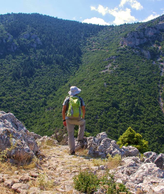
On the Kastanitsa-Prastos trail
The large width of the mountainous zone, the extensive forests, the great distance of the villages from the mountain core and the complex topography of Mt Parnon advocate for an uncomfortable hiking field. Indeed, the hiking and mountaineering routes that can be composed, based on the remaining trails and the forest road network, are rather few, in relation to the size of the mountain. Anyway, thanks to the efforts of many groups - local mountaineers, communities, development projects - several dozens of trails have been opened and marked recently, summing up one of the most extensive hiking networks of Peloponnese.
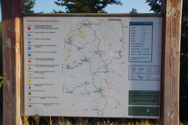
Main board for the network of West Parnon trails
Being an important link of the mountain barebone of the Peloponnese, Mt Parnon is crossed by two Long Distance hiking routes, the European Trail E4 and the National Trail O33. Both, however, rely on the road network and do not have much hiking value.
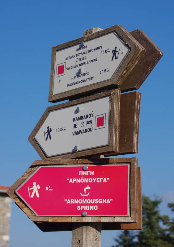
Direction signposts near the EOS refuge
European Trail E4
The European Path E4 reaches the northern border of Mt Parnon near Agios Petros and runs through the western reliefs, passing through the villages of Karyes, Vresthena and Voutiani. The paths in the area have been destroyed or broken up by the newer road network and so the whole route follows dirt roads. We divide this distance into three daily legs, 11, 9 and 15 km long, using the aforementioned villages as accommodation stations.
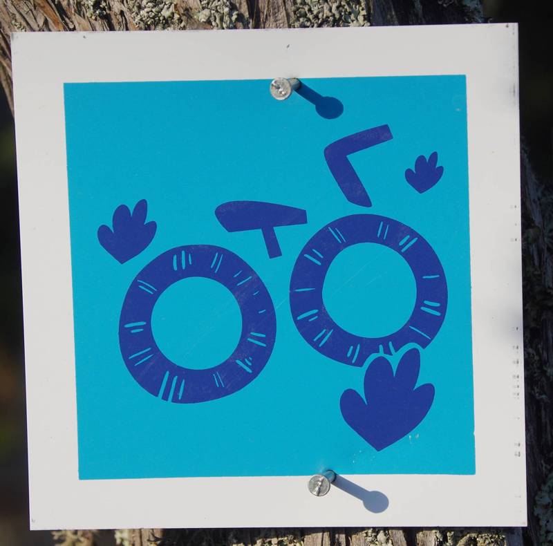
Marking of cycling routes
National Trail O33
The National Trail O33 is in a way a branch of the E4 European Trail. It diverges from the E4 in Agios Petros, passes by the Malevis monastery, reaches the EOS refuge, crosses Parnonas and reaches Kosmas village. Only the section from the Malevi monastery to the refuge uses an earth path, the rest of the route coincides with roads, mainly dirt roads, but also some asphalt. All in all, this is an unfortunate design, lacking hiking interest, even though it passes through a quiet forest scenery.
Mt Parnon crossing
Northern Parnonas (EOS refuge, Malevi monastery, Megali Tourla)
With the Long Trails being of little hiking interest, the main mountaineering interest in the central Parnon area is somewhat limited around two major poles of the mountain: the refuge of EOS Sparta Alpine Club, once an important advanced location, and the peak Megali Tourla, which with its steep slopes and its conical shape is indeed quite impressive. There are three routes that lead to the base of Megali Tourla, starting from Sitena, the Malevi monastery and the EOS refuge.
- Parnon refuge-Parnon summit
- Malevis monastery-Parnon summit
- Xerokambos-Parnon summit
- Xerokambos-Orias Castle
- Agios Ioanis-Orias Castle
- Agios Ioanis-Lepida waterfall
- Forest Service refuge-Profitis Ilias
Routes in Tzitzina
Thanks to the efforts of Sparta Alpine Club, an extensive hiking network of 16 routes was marked in 2010 in the Western Parnon. Seven very interesting routes have been set up around Tzitzina.
- Tzitzina-Agii Arnargyri monastery
- Tzitzina-Gogena-Agii Arnargyri monastery
- Tzitzina-Analipsi
- Tzitzina-Agia Marina-Keli
- Tzitzina-Koniakiti fountain
- Tzitzina-Keli-Pefkias
- Tzitzina-Meganailias
- Tzitzina-Aghios Ioanis
Routes based on Vamvakou
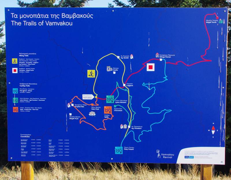
Sign for the paths around Vamvakou
Vamvakou is one of the most lively villages of Western Parnon. Two hiking routes start from the village and converge at Longous: the route from the Castle and the route from the cave monastery of Agia Kyriaki. They are both well trodden and signposted and their common axis leads to the Alpine Club refuge.
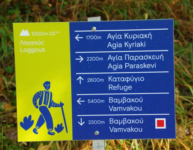
Signpost for the Vamvakou trails
Hiking in Analipsi, Vasaras and Veria
Hiking around Kastanitsa, Sitena, Prastos and Platanos
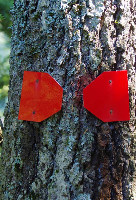
Marks on the Kastanitsa-Prastos trail
In the mountainous area around Kastanitsa, Sitena, Prastos and Platanos, a large part of the old connections between the villages remained intact during the opening phase of the newer road network, thanks to the very steep terrain. Thus the old cobblestones between Kastanitsa, Sitena, Prastos and Platanos, which form a small network, are in good condition. Of these four trails, the only one that has received some care recently - from the local Forest Service - is the Kastanitsa-Prastos trail, which is also the most beautiful trail of Mt. Parnon.
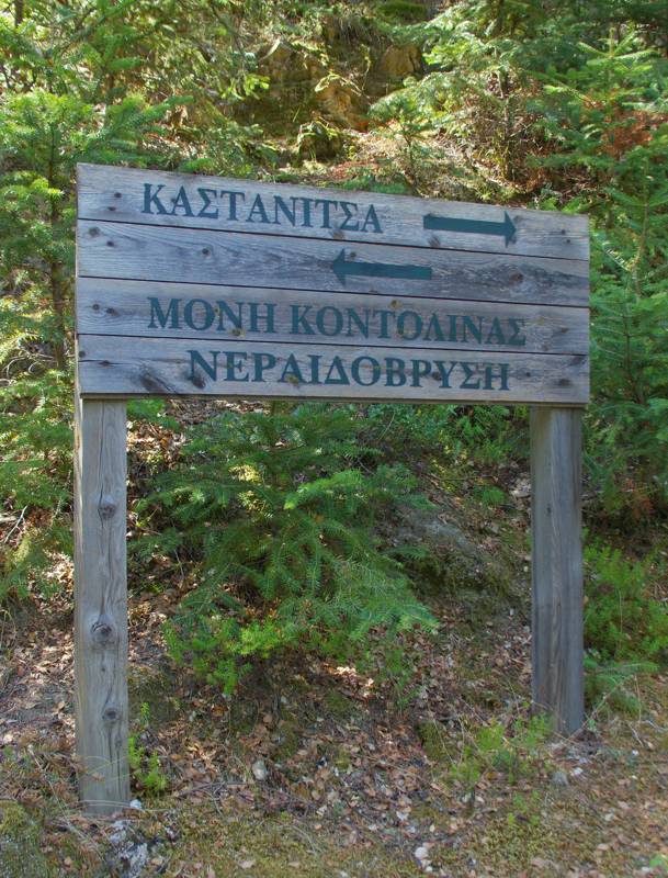
Marking on the path Kastanitsa-Prastos
The long crossing of the Zorbanitsa gorge, which allows the descent from Platanos to Agios Andreas through the passable riverbed, is also a very interesting connection.
The trails around the villages are as follows (the links lead to the detailed route pages):
- Kastanitsa-Prastos
- Kastro (Kastanitsa)-Sitena
- Sitena-Parnon summit
- Sitena-Platanos
- Platanos-Agios Andreas
- Platanos-Lepida waterfall
Hiking in Southern Mt Parnon
- Kalithea-Xeropigado-Kosmas
- Kosmas-Elonas monastery
- Kato Ai-Giorgis loop
- Kosmas-Peak Mazaraki
- Kosmas-Profitis Ilias loop
- Leonidio-Profitis Ilias
- Leonidio-Vaskina
Caryatides Trails

Karyes is a vivid settlement, located on the northern territorires of Parnon mountain range. Around the village, a network of 7 hiking routes, under the name Caryatides Trails, has been created and marked recently. The routes are all circular and aimed at a wider public who are starting their acquaintance with hiking, therefore they are relatively easy and short.
In more detail, the trails are as follows (the links lead to the detailed presentation pages of the routes):
- 1. The Village Trail
- 2. The Shepherds Trail
- 3. The Ancient Trail
- 4. The Water Trail
- 5. The Forest Trail
- 6. The Chestnut tree Trail
- 7. The Oak Trail

topoguide Greece
Hiking on Mt Parnon
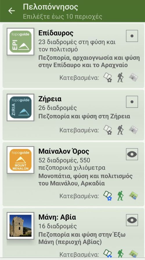
Mt Parnon topoguide is available for Android devices as one of dozens of regions of Greece offered by the application topoguide Greece. Get the Mt Parnon topoguide as an in-app purchase.
Mt Parnon topoguide is also available for iOS (iPhone και iPad) devices as one of the regions offered in the hiking application Topoguide Greece. Get the in-app purchase Mt Parnon topoguide and explore Mt Parnon.

