Voukina gorge
Hiking in Mycenae
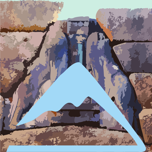
Voukina gorge

In the Voukina gorge
(Click to enlarge).
In the Voukina gorge
The tectonic depression of Tenea, combined with the discontinuities and faults that split the overlying limestone mass, are the two basic conditions for the formation of parallel ravines and gorges that shape the northern front of the Nyfitsa Mountains and the adjacent hilly ranges. With the exception of the ravine of Klisoura - that is, the axis of Kontoporia - which is of a quite gentle gradient, the rest of the hydrographic network traces sharp and inaccessible lines.
Between this landscape of rugged ravines, the Voukina gorge has the peculiarity of being at the same time the narrowest and the most passable. Indeed, the wedge-shaped section of the gorge is traversed by a gravel bed of constant slope, which hides just a few, small steps, easily passable by man.
However, these steps can not be climbed by mules. Thus it is not clear whether the gorge was used systematically to connect the plain with the mountainous zone, as inside the gorge there are no signs of improved walkability or other works. Today, however, the Voukina gorge is one of the most interesting hiking trails in the area.
Obviously, it is easiest to walk the gorge of Voukina is its downhill version. So, the trail start from Agios Ioannis, a small village of rural aroma in the uplands of Tenea.
The first section of the trail follows an old and unused alley to a deserted sheepfold, near the riverbed of the gorge.
Enter the gorge with the help of a short path. Follow the riverbed without many deviation up to an old estate, near Dragos cave. In this section, there are three short steps: climb down easily the steps from the left side.
A short path leads us to the estate, from where begins a nice and completely quiet dirt road ending on the asphalt to Athikia. Reach easily the center of the village, which offers many services.
Text and photos: T. Adamakopoulos
Waymarking
Signposts and marks

There are no direction signposts, just red confirmation signs on the rocks. The marking starts from the sheepfold and is very sparse as we run inside the gorge, while it is dense at the point where we have to leave the gorge to the estate. In some places, we also come across some old red/white naylon ribbons.
From the Athikia side, there is no signpost at the entrance of the dirt road to the gorge.
Access and way back
Alternatives
The return is, obviously, easier to do by taxi (14 km). Otherwise, we have plotted on the map two possible routes from Athikia to Agios Ioannis. These combinations of paths and dirt roads meet the asphalt near the branch to the chapel of Agios Dimitrios. Calculate 2-3 hours for the ascent to Agios Ioannis.
topoguide Greece
A GUIDE FOR THE TRAVELING
ALONG THE MYCENAEAN LANDSCAPE
The guide Mycenae topoguide is available for Android devices along with dozens of other regions of Greece, within the general application topoguide Greece. Mycenae topoguide is a member of the Pelponnese group. Get Mycenae topoguide as an in-app purchase from the topoguide Greece available regions list.
The Mycenae topoguide guide is also available for iOS devices (iPhone and iPad) through the general hiker application Topoguide Greece. Get Mycenae topoguide as an in-app purchase via the available regions list.
It is very interesting that topoguide Greece has the ability to simultaneously display up to 15 different areas, thus allowing an overall view of the Peloponnese and the easy alternation of hundreds of hiking routes, hundreds of Points of Interest and dozens of pages of the guide with innumerable photos.