Makrinitsa - West bivouac - Pouri
Central Pelion
Makrinitsa
West bivouac
Pouri
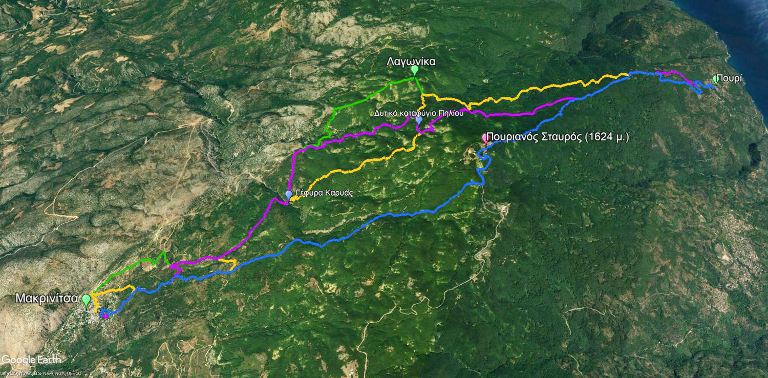
Purple: Makrinitsa-Pouri via the Western bivouac
Blue: Pouri-Makrinitsa via the Pourianos Stavros summit
Green: Makrinitsa-Pouri via the Lagonika
Orange: Makrinitsa-Pouri via the Kapsales
Click to enlarge
Purple: Makrinitsa-Pouri via the Western bivouac
Blue: Pouri-Makrinitsa via the Pourianos Stavros summit
Green: Makrinitsa-Pouri via the Lagonika
Orange: Makrinitsa-Pouri via the Kapsales
The Makrinitsa-Pouri route via the Western bivouac was one of the pathways converging to the major mountain passage through Pourianos Stavros.
This route is the least known of the four old connections between Makrinitsa and Pouri. The path was mapped, cleaned and marked by the "caretaker" of the paths of Pelion, Kyriakos Stathakis.
This long route has similar physical condition and supplies requirements to the other three parallel routes from Makrinitsa to Pouri.
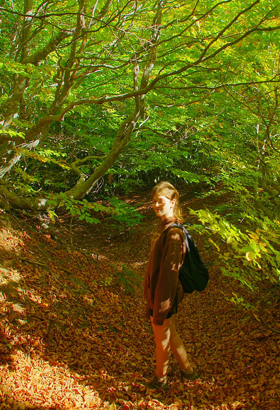
In the beech forest
The trail starts from the town square of Makrinitsa (church of Agios Ioannis and memorial fountain) and climbs on cobbled paths through the settlement. We pass in front of two fountains and come out on a dirt road, which leads us to the old monastery of Agia Paraskevi, where we can rest under the shade of a large Plane tree, beside the Katholicon and a nice stone-built fountain.
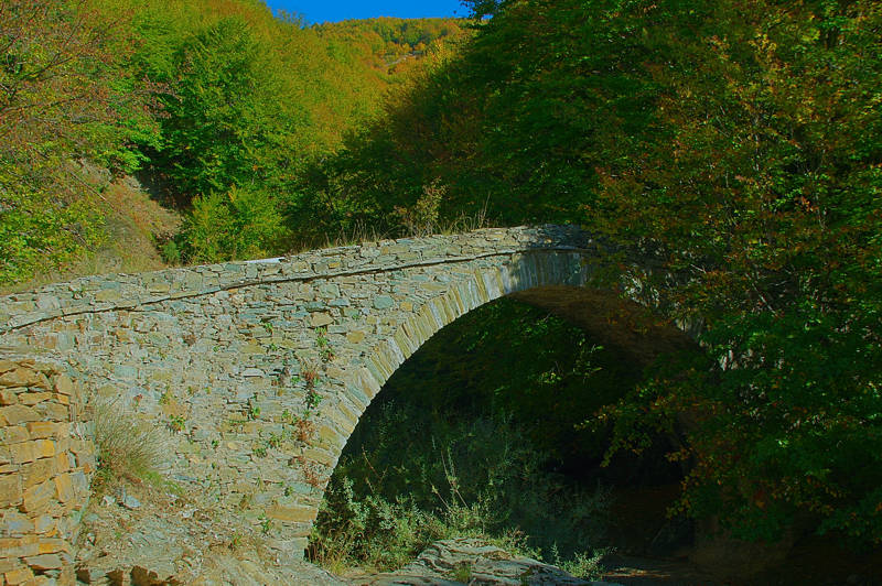
The stone-built bridge of Karya
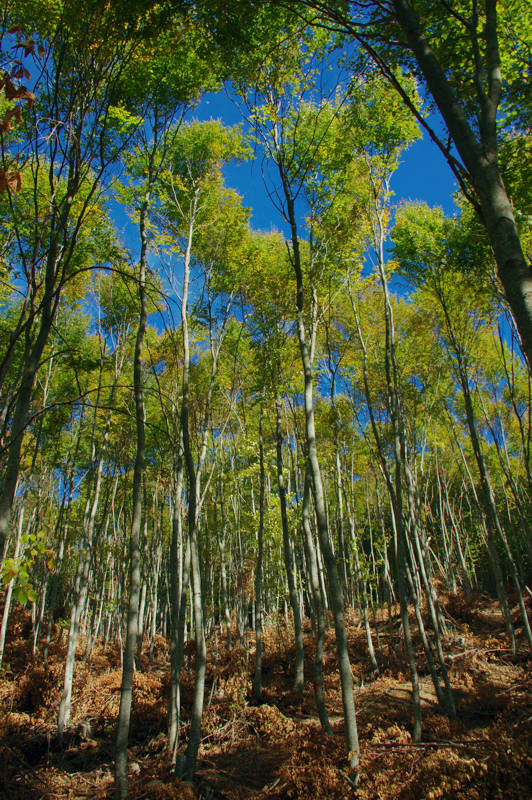
In the beech forest, during the logging period
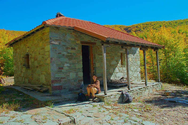
The West bivouac of Mt Pelion
From the shelter, we descend a dirt road, which gradually becomes narrower, so that at the end it is more like a wide, wooded path. Just before the end of this alley, we find on the left the signs for the path to Lagonika and follow it until the fork to Pouri. Here we take the path to Pouri and descend towards the stream of Lagonika. After the crossroad, we follow a combination of abandoned dirt roads.
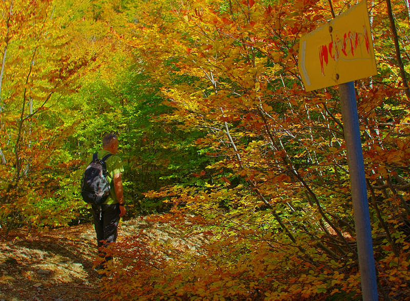
On the junction to Pouri
After Agia Marina, the path is broken up by a long concrete aqueduct and splitted by the alleys serving the chestnut plantations. We reach a dry water tank and continue for a while on a dirt road and enter a better path. With a succession of dirt roads and paths, in some places relatively clear. We cross or follow a paved groove and we reach a dirt road, a bit north of the chapel of Profitis Ilias.
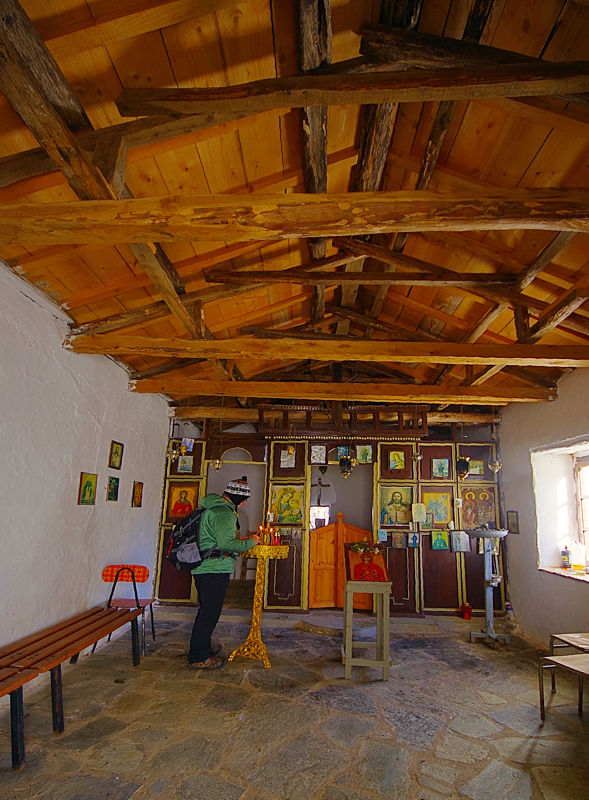
At the Agia Marina chapel
Text and photos: T. Adamakopoulos
Marking-Warnings
The length of the trail is 19.3 km and takes about 8 to 9 hours.

topoguide Greece
GUIDES TO MT PELION
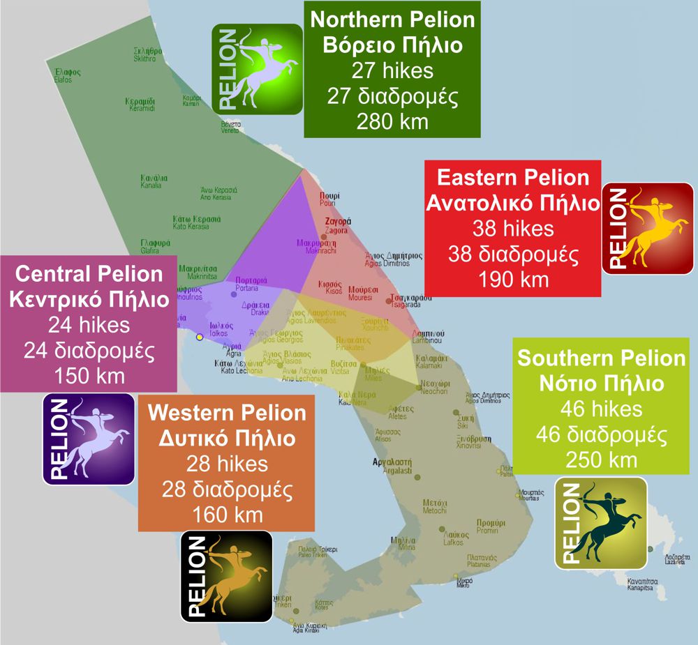
Central Pelion topoguide is available for Android devices along with dozens of guides of other regions of Greece, within the hiking application topoguide Greece. Get Central Pelion topoguide as an in-app purchase through the application.
Central Pelion topoguide is also available for iOS (iPhone και iPad) devices within the hiking application Topoguide Greece. Get the Central Pelion topoguide as an in-app purchase via the application.
Central Pelion is a member of the Central Greece topoguides group.
It is very interesting that topoguide Greece has the ability to simultaneously display many areas, thus allowing the overall view of the detailed map of the whole of Mt Pelion and the easy alternation of the routes, the Points Of Interest and the dozens of pages of the guide with the countless photos.

