Argalasti-Lafkos-Platanias
Long Pelion Trail
Argalasti-Lafkos-Platanias
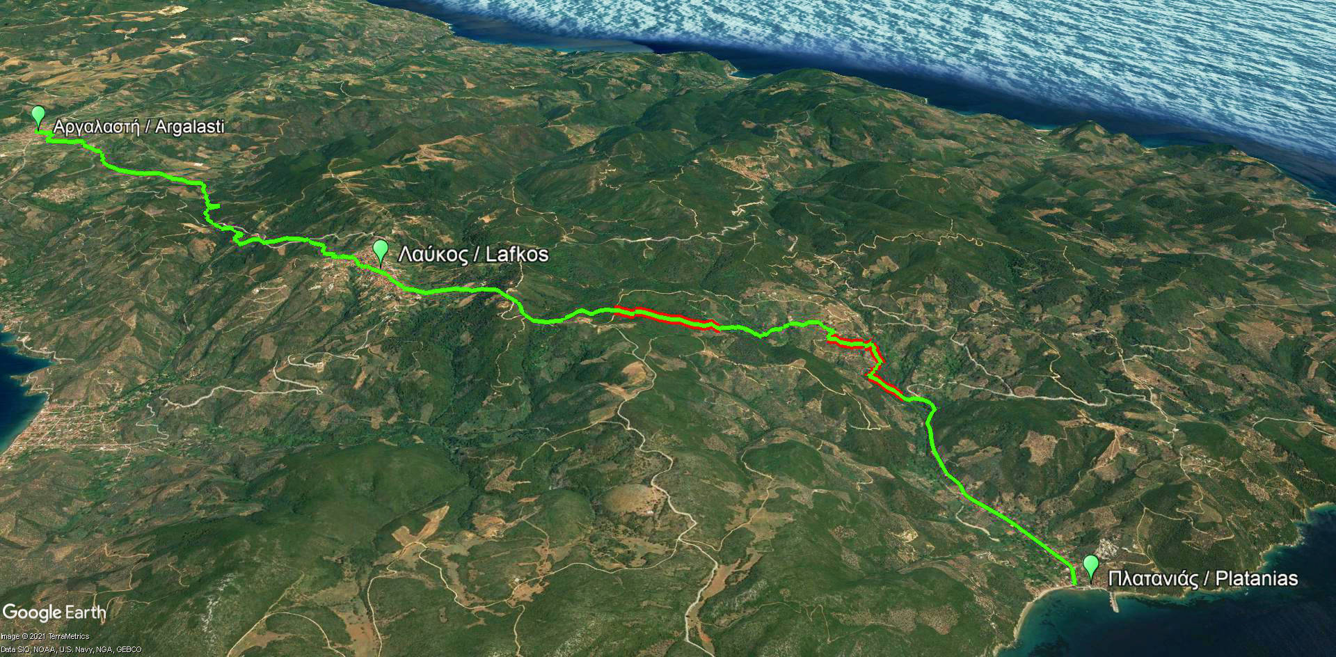
Argalasti-Lafkos-Platanias route
Πατήστε για μεγέθυνση
Argalasti-Lafkos-Platanias route
| Section name |
Difficulty |
Length m |
Ascent m |
Decent m |
Maximum elevation m |
Minimum elevation m |
Time h |
|---|---|---|---|---|---|---|---|
| Argalasti-Lafkos-Platanias | 2/5 | 14165 | 251 | 504 | 377 | 0 | 5 |

Argalasti-Lafkos-Platanias elevation profile
The ninth part of LPT connects important settlement of Argalasti to the coastal settlement of Platanias. The path crosses Lafkos, a former commercial center area of Southern Pelion. The route is downhill as a whole and very enjoyable. Lafkos can be a perfect place for rest and reorganization, since it’s located halfway and offers several facilities.
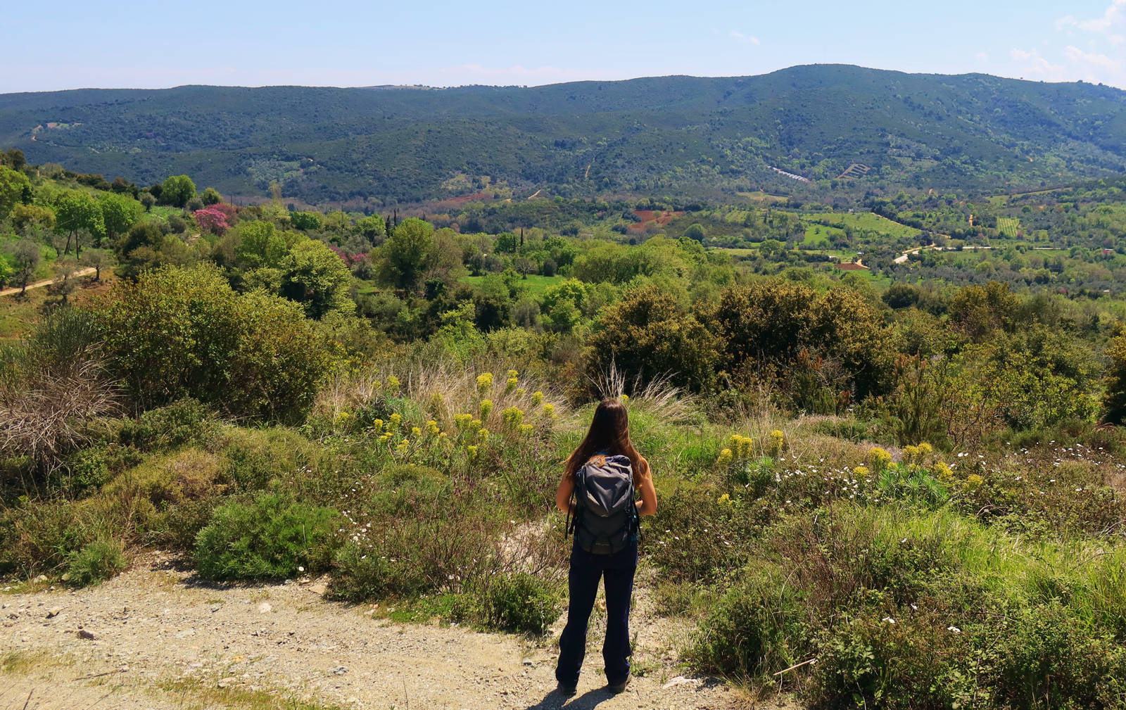
From the hills of Argalasti
Click to enlarge
From the hills of Argalasti
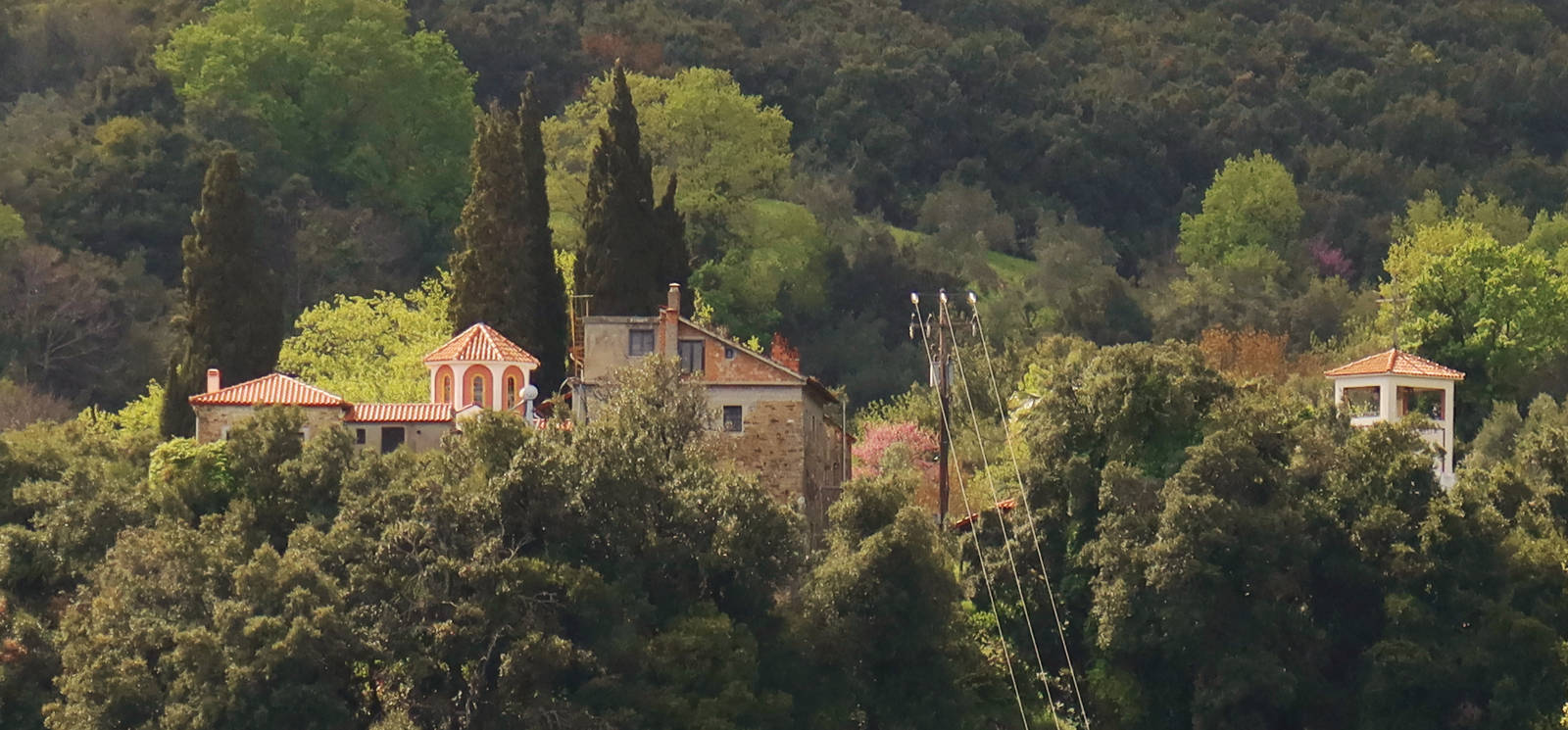
The first section of the trail follows the old cobbled path Argalasti – Lafkos. The route was originally a wide and well-built mule-track, but today it’s a dirt road for most of its length. Cross Lafkos and then follow the earth path descending towards the monastery of Agios Spiridon. Soon, enter the verdant valley called Mousges and reach the coastal settlement Platanias, where many accommodation facilities are available, even off-season.
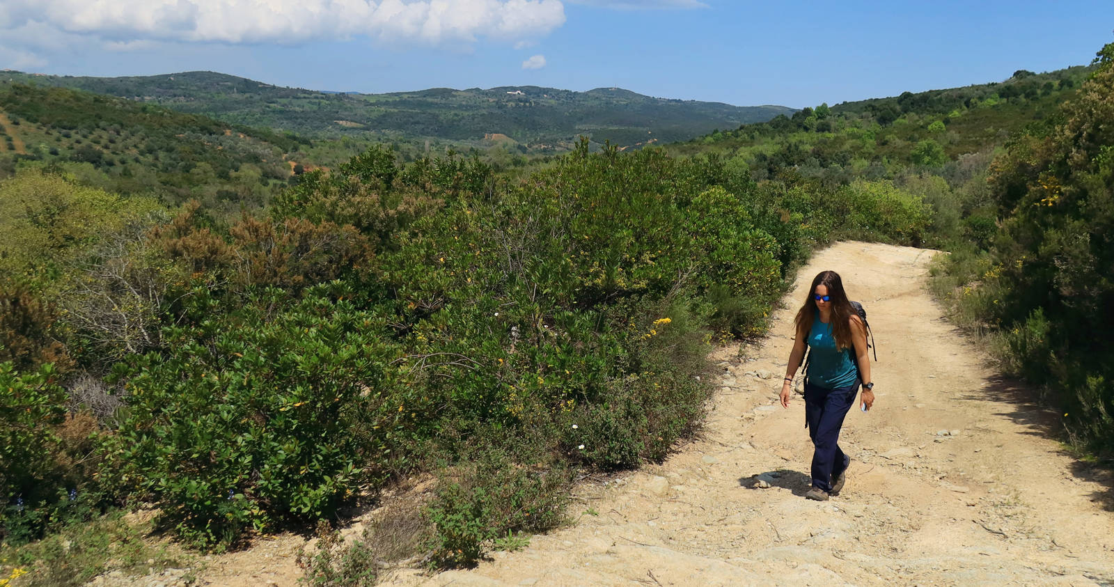
On the dirt road to Lafkos
Click to enlarge
On the dirt road to Lafkos
Text: Aik. Zagaretou, photos: T. Adamakopoulos
Walkability chart-Warnings
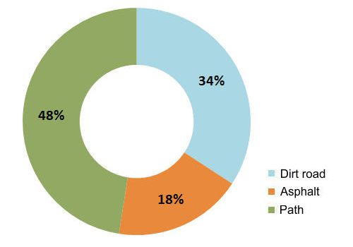
The route is marked with red marks and marks of the Friends of the Kalderimi.
The length of the route is 14.2 km and can be done in 5 hours.
Long Pelion Trail topoguide
The best escort on Long Pelion Trail is the guide Long Pelion Trail topoguide, a member of the Long Trails group of the app topoguide Greece, available for Android devices via the Google Play Store.
The guide Long Pelion Trail topoguide is also available for iOS (iPhone και iPad) devices via the app Topoguide Greece, as a member of the Long Trails group.
The application offers active navigation along the trails, as well as a concise guide on the geography, the nature and the culture of Mt Pelion.

