Chalorema gorge
South Pelion
Chalorema gorge
(Afetes-Afissos trail)
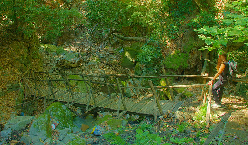
Chalorema Gorge (Afetes-Afissos trail)
The wooden bridge
The Chalorema Gorge traces the shortest physical connection between the mountainous Afetes and the coastal Afissos. The path across the gorge the most popular canyon route in South Pelion.
The route, without presenting any technical difficulties, requires familiarity with the rugged field of the riverbed, as the hikes walks on an unstable substrate with cobbles and branches, which requires constant attention and flexibility.
Crossing the gorge should be avoided in case of rain, both because of the torrential waters that may come down suddenly, and because of the possible fall of stones from the surrounding cliffs.
Note also that after heavy rains you will encounter more large logs and other materials that pile up in places and make the crossing even more difficult.
The crossing of the Chalorema gorge starts from the central square of Afetes and the church of the Agios Ioanis. Walk on very good cobbled path to the lower end of the village. From here begins an old cobblestone, damaged in some places, which leads steeply to a wooden footbridge. Although somewhat battered, the wooden structure is solid and safe for now.
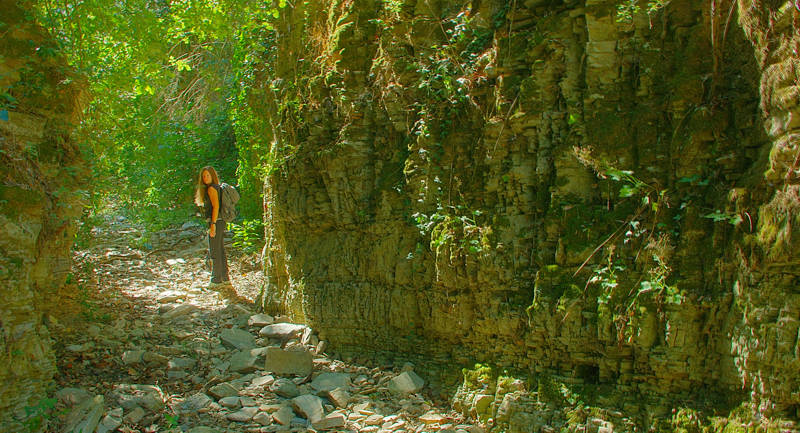
Chalorema gorge (Afetes-Afissos trail)
Crossing the narrowest part of the gorge
As expected for the geographical location and altitude, the gorge is home to a Plane trees wood. The trees are mature, full of scars from battles with the oveflow water and the cobblestones. On the slopes we will see many other species of riparian vegetation.
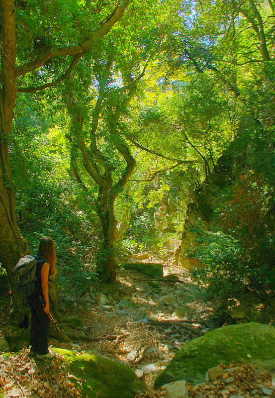
Chalorema gorge (Afetes-Afissos trail)
Under the shade of the tall Plane trees
Arriving at 60 m elevation, we come across a faint alley that runs very close to the riverbed. Follow it up to a concrete road, which directly ends at Abovos, a very nice sandy beach. Then, follow the asphalt to the center of Afyssos.
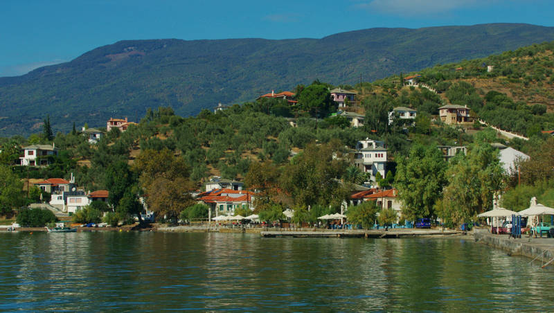
Chalorema gorge (Afetes-Afissos trail)
Afissos
Text and photos: T. Adamakopoulos
Marking-Warnings
As with all Pelion routes, the markings are not very consistent, however if you hesitate a little further down you will find a mark.
The length of the route is 2.9 km and in the direction from Afetes towards Afissos the route is consistently downhill. Hilers familiar with the rough terrain of the gully will cross it in 1h30'.

topoguide Greece
GUIDES TO MT PELION
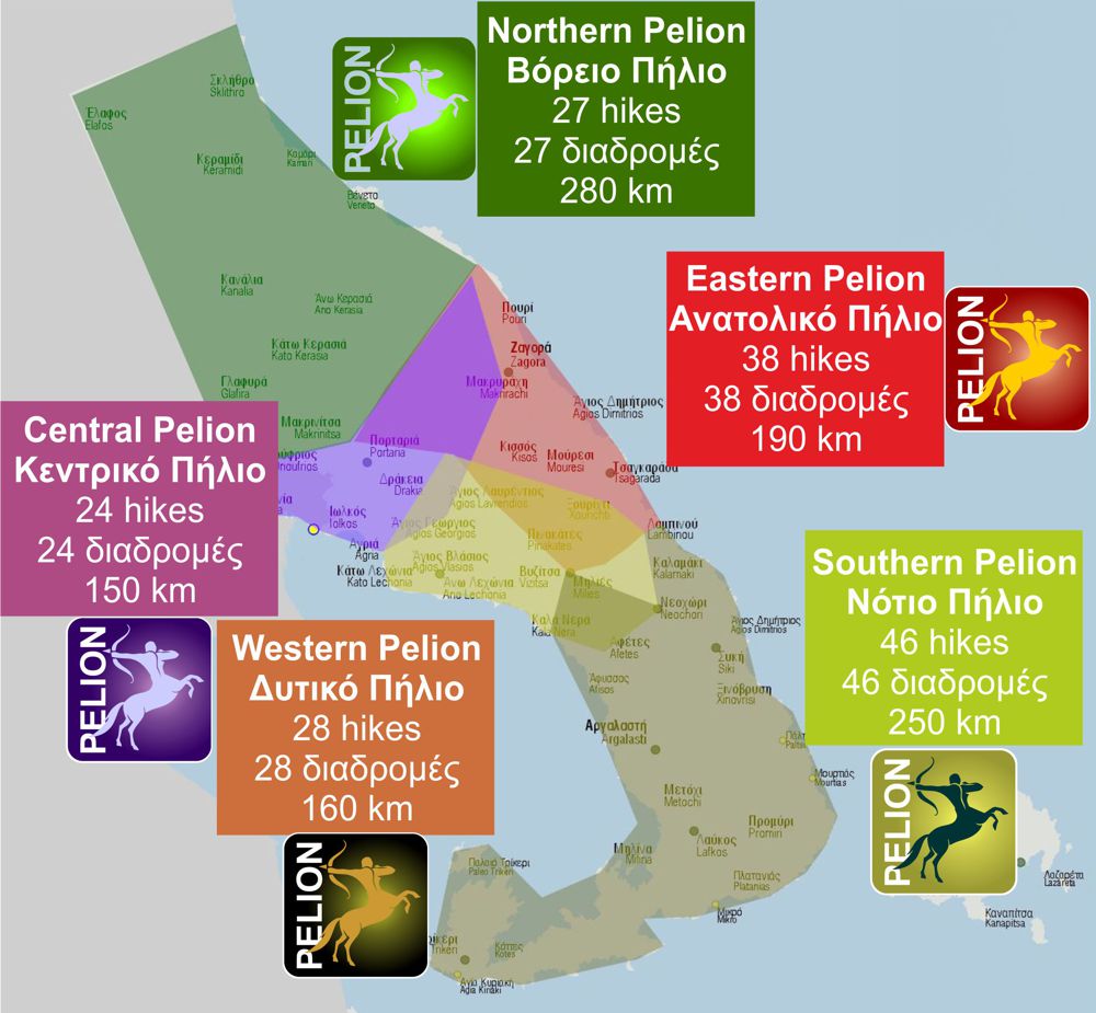
South Pelion topoguide is available for Android devices along with dozens of guides of other regions of Greece, within the hiking application topoguide Greece. Get South Pelion topoguide as an in-app purchase through the application.
South Pelion topoguide is also available for iOS (iPhone και iPad) devices within the hiking application Topoguide Greece. Get the South Pelion topoguide as an in-app purchase via the application.
South Pelion is a member of the Central Greece topoguides group.
It is very interesting that topoguide Greece has the ability to simultaneously display many areas, thus allowing the overall view of the detailed map of the whole of Mt Pelion and the easy alternation of the routes, the Points Of Interest and the dozens of pages of the guide with the countless photos.

