Geography of Methana peninsula
Geography of Methana peninsula
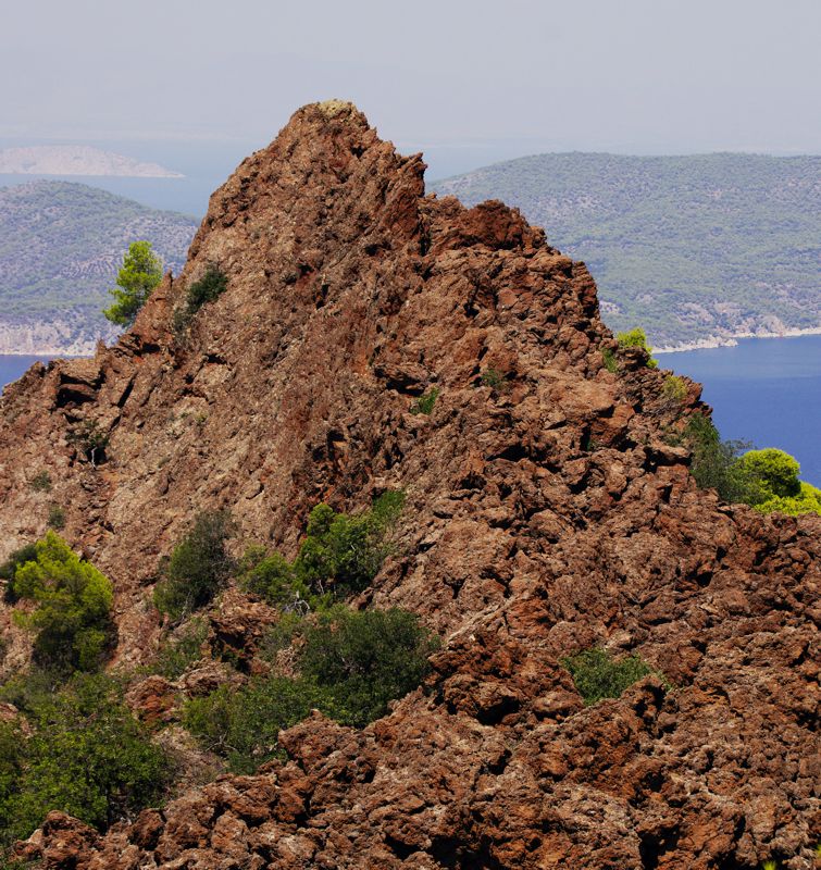
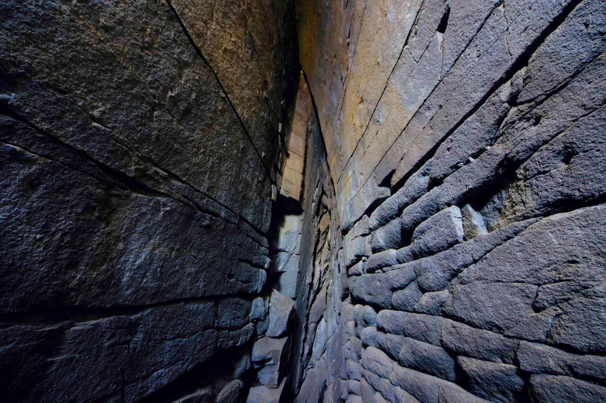
Lava mass on Mavri Petra, near Kameni Chora
Methana peninsula looks like a large stone mushroom, detaching from the Peloponnese and entering the Saronic Gulf. Actually, the peninsula is formed by the remains of a limestone bridge connecting the mainland to the large mass created by the volcanic activity in the Saronic Gulf.

Methana peninsula
Click to enlarge
The Methana peninsula
The mushroom-shaped peninsula is connected to Peloponnese by an isthmus, which at its narrowest point is only 240 m wide. The isthmus is about 1250 m long and runs SE to NW.
Immediately north of the isthmus, rises the main solid limestone mass of Methana, which bears the characteristic name Asprovouni (ie, the White mountain). Its relatively steep but definitely extremely inaccessible, rocky slopes culminate in a series of elongated karst formations and lower to the Throni plateau.
From Throni plateau passes the main road between the east and the west side of the peninsula, which today connects the town of Methana with Megalochori. On the west side of Mt Asprovouni one could find the Peristeri Cave, the best known karst cavity of the area.
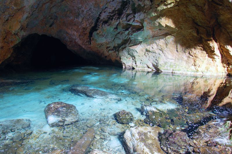
Peristeri Cave
From Throni to the northernmost end of the peninsula rises a series of volcanic hills, which peak at the Chelona (740 m, highest point of the peninsula), Profitis Ilias (712 m), Kossona (587 m) and Malia Glati (692 m) summits. The shape of the volcanic cones is relatively symmetrical and between the old craters spread elongated basins.
As the hinterland of the peninsula is limited in space, all the villages of Methana sit either on the coastline or in low basins with direct and easy access to it. Only some very small rural settlements, such as Sterna Gambrou and Panagitsa, flourished in the interior highlands.
Apart from the town of Methana, which developed mainly in the 20th century thanks to the appeal of thermalism, the settlements of the coastline - namely Vathy in the west, Agios Georgios and Agios Nikolaos in the east - were and remain small and dull.
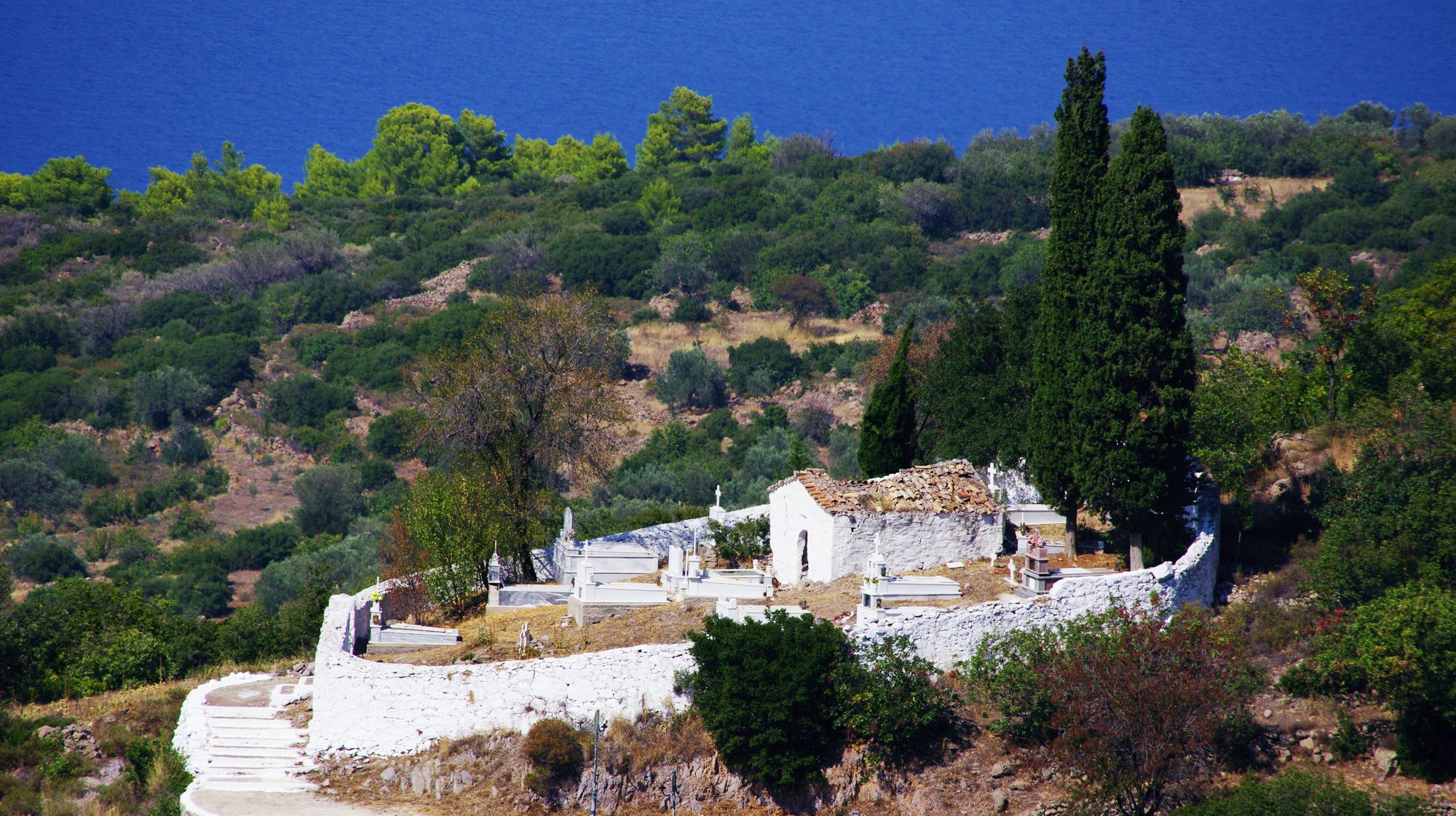
The cemetery church of Makrylogos village, dedicated to Agios Ioanis
Click to enlarge
The cemetery church of Makrylogos village, dedicated to Agios Ioanis
On the contrary, the villages near the feet of the mountain, Megalochori, Megalopotami, Kypseli, Agii Theodori, Kounoupitsa and the Loutra-Makrylogos twins, reached the size allowed by the natural resources and thanks to the favorable circumstances they maintained both their size and their physiognomy.
It is meaningful that the only orientations we use above are "east" and "west": indeed, the very narrow base of the peninsula to the south and the rugged north terrains are not suitable for inhabitation. The only settlement that managed to survive in the northern zone is Kameni Chora, an impressive tiny settlement, nestled at the base of the last active volcano.
The main crater of the Kameni Chora volcano
Click to enlarge
The main crater of the Kameni Chora volcano
With the exception of the hot springs at the East, there are few water resources in Methana: all the settlement and the agricultural production were based on a combination of open and covered cisterns, constructed by simple techniques and benefiting from the impermeability of volcanic rocks.
The connection of Methana with the Peloponnese is made through the isthmus, while the sea connections with Piraeus, Aegina and Poros are ensured by the small ports of the Methana town, Vathi and Agios Georgios.
Text and photos: T. Adamakopoulos

topoguide Greece
A GUIDE FOR METHANA PENINSULA
The guide Methana topoguide is available for Android devices along with dozens of other regions of Greece, within the general application topoguide Greece. Methana topoguide is a member of the Pelponnese group. Get Methana topoguide as an in-app purchase from the topoguide Greece available regions list.
The Methana topoguide guide is also available for iOS devices (iPhone and iPad) through the general hiker application Topoguide Greece. Get Methana topoguide as an in-app purchase via the available regions list.
It is very interesting that topoguide Greece has the ability to simultaneously display up to 15 different areas, thus allowing an overall view of the Peloponnese and the easy alternation of hundreds of hiking routes, hundreds of Points of Interest and dozens of pages of the guide with innumerable photos.
