Hiking on Mt Taygetos
Hiking on Mt Taygetos

Taygetos topoguide: On the way to the summit of Profitis Ilias peak
A mountaineer could find on Mt Taygetos the ideal alpine filed for long routes: ascents to peaks, hiking along the E4 European Trail or long 2 to 3 days crossings, which combine the ascents of the eastern side with the great ravines of western Taygetos (Viros, Rintomo, VIntoli stream, Koskaraka gorge).

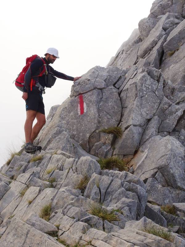
Taygetos topoguide: On the O32 National Trail - the difficult step on Sidirokastro ridge
The O32 National Trail crosses the center of the southern Peloponnese and its 5 last sections are running along Taygetos, ending in Tseria, via the Vyros gorge.

topoguide Greece
Mountaineering & hiking
on Mt Τaygetos

The most comprehensive hiking guide for Mt Taygetos is the application Taygetos topoguide.
Taygetos topoguide is available for Android devices as an in-app-purchase via the global app topoguide Greece. Taygetos topoguide is a member of the Peloponnese group.
Taygetos topoguide is also available as an in-app-purchase for iOS & iPad devices via the global hiking app Topoguide Greece app. There again, Taygetos topoguide is a member of the Peloponnese group.
topoguide Greece offers active guidance along the trail, as well as an extented guidebook on the geography, the nature and the history of the area.

