Trail Creator
Trail Creator:
the hiking network planning toolbox
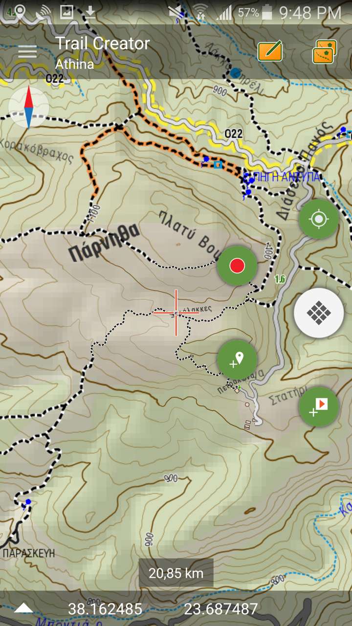
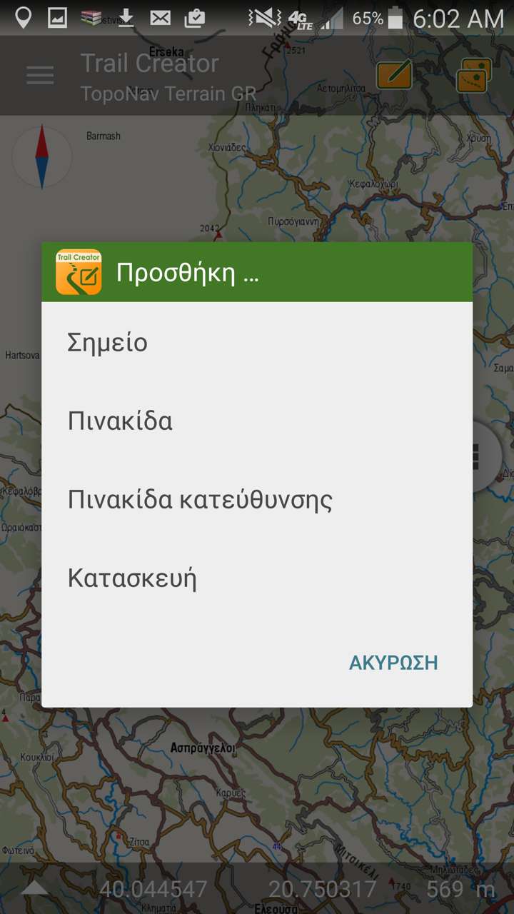


AnaDigit is involved as an engineering company in the planning and the implementation of several hiking projects in Greece and has developed an innovative hiking network planning toolbox for rapid recording and specification of interventions to be performed along the paths, as well as construction works like bridges or stairs and path waymarking.
The hikes planning toolbox consists of a mobile application, Trail Creator, and a data editing and analysis process is done in Path Planner, a special Web GIS platform performing the data analysis and the compile of final statistics and measurements.
Both tools are available for recording and viewing the data, though the proccess and the export of the field data to commonly used formats (such as KML for the paths geometry and the signposting, SVG for the graphs and Excel tables for the measurements) is offered as a payable service.
Contact AnaDigit to learn more about using the Trail Creator suite in your hiking project.
Trail Creator records three types of actions: works along the paths, construction works and waymarking.
The works along the paths are recorded as properties of each segment of the track. Recording is codified during walking on the path and six different type of interventions can be combined, as following:
- Scrub clearance (cutting shrubs and low trees)
- Pruning (cutting branches up to a height of 2 meters)
- Rock moving
- Earth moving
- Opening (full path-opening that can include one or more of the above interventions)
- Widening (on existing footpath, a mild combination of clearance and earth moving)
- Works on Cobbled path (on existing cobbled path)
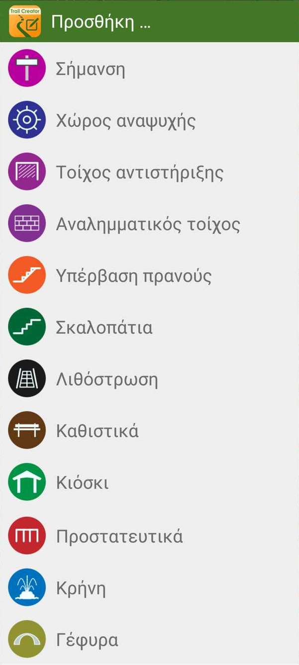
The construction works that can be recorded are the following:
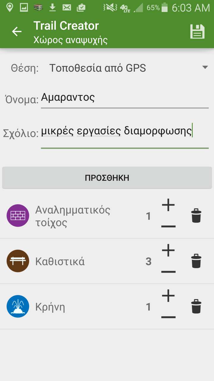
 Recreation area (can include any of the bellow constructions)
 Heavy retaining wall
 Dry-stone retaining wall
 Talus stairs (with retaining wall)
 Lower slope angle stairs
 Paving
 Seating (stone or wooden benches)
 Wooden kiosk (gazebo)
 Guard rail (wooden or stone railing)
 Fountain
 Bridge (with wooden or iron support, pedestals, rails)
In each of the above construction works, the surveyor can record parameters, such as the number of the features, dimensions, material, geotagged photo and construction details (bridges for example can have a number pedestals and rails) or other technical components (eg., water hose length for a fountain).
The waymarking is codified to the following types:
- Master hiking network signpost
- Local network signpost
- Trail head signpost
- Direction signpost (along the trail)
- Alert signpost (high slope, exposed sections etc)
- Environmental interpretation signpost
- Confirmation waymarks (simple signs along the route)
A direction signpost enables to register:
- Position: Place-name, coordinates and elevation
- Destinations: Unlimited number of destinations by name, distance, time, characteristic symbol (eg. fountain, monastery etc.) and directional arrow
- Technical data for the location and the support
- Geotagged photo of the location
For better specification of each position and accurate budgeting, Confirmation waymarks can be classified by support type:
- On tree
- On a new pole
- On power/telephone pole
- On Rock
During surveying, the application can remind the user (by sound or/and vibration) to add a new confirmation waymarks if a predefined distance is exceeded.
The deliverable to the hiking network authority includes a special version of Trail Creator, running in building mode: the construction contractor receives a version of the application, which indicates with sound and vibration the locations where the works must be performed.

