Agii Anargyri loop trail
On the Alonnissos hills
Agii Anargyri loop trail
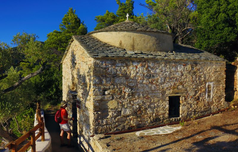
Among the churches of Alonissos, the chapel of Agii Anargyri holds a special place, both because of their architectural value and of their imposing location.
The steep topography of the location prevented the creation of a road access, and so the only way to reach the small natural balcony of Agii Anargyri is the old path that winds around this wild side of Alonissos Island.

Tourkoneri beach
Click to enlarge
Tourkoneri beach
The short loop trail of Agii Anargyri that we describe here is probably the most beautiful route on the island and the second "mandatory" trail for the hiker, after the "pilgrimage" hike Chora-Patitiri.
The hike starts from the Mega Nero junction, close to the main road Patitiri-Gerakas. After a short uphill leg, we go downhill on a nice, clear path to a dirt road, which ends in front of an estate. We enter the well-trodden path on the side of the fence and soon reach the site of Agii Anargyri, where there are two chapels, one old and one newer.
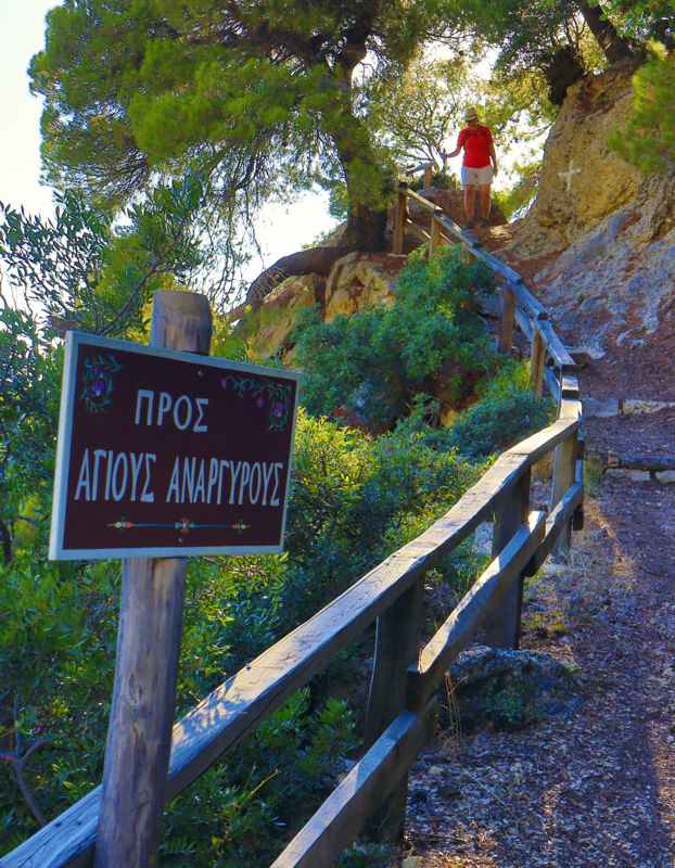
After a short dirt road we take the clear path uphill and reach a dirt road. The path continues behind a small reservoir with a tap (no water), but this last leg has not been cleared yet: take the dirt road instead.
We come out on asphalt and we follow it to the right until our starting point.
Text and photos by T. Adamakopoulos
Signage
Marking and signposting
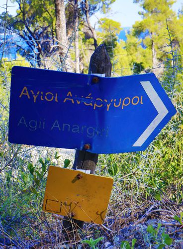
On most legs of the trail you will find consistent and fresh red markings, either on stones on the ground or on larger rocks.

topoguide Greece
ALONNISOS TOPOGUIDE
The digital field guide Alonnisos topoguide is available for Android devices as an in-app purchase within the application topoguide Greece. Alonnisos topoguide is a member of the Greek Islands group.
The digital field guide Alonnisos topoguide is also available for iOS (iPhone and iPad) devices as an in-app purchase within the application Topoguide Greece. There also, Alonnisos topoguide is a member of the Greek Islands group.

