Chora Alonnisos-Megalos Mourtias
Around Chora Alonnisos
Chora Alonnisos-Megalos Mourtias
Megalos Mourtias has been the emergency harbour of Chora, a discreet port that allowed the immediate supply of the fortified settlement, but also the escape of the inhabitants. A good but not paved path crossed the pine forest between the lower neighborhoods of Chora and the hidden cove.
This path is still followed today by those who want to walk from Chora to the nearest beach. Short, easy and well-trodden, the path from Chora to Megalos Mourtias is, along with the cobbled path to Patitiri, the two most popular hikes in Alonissos.
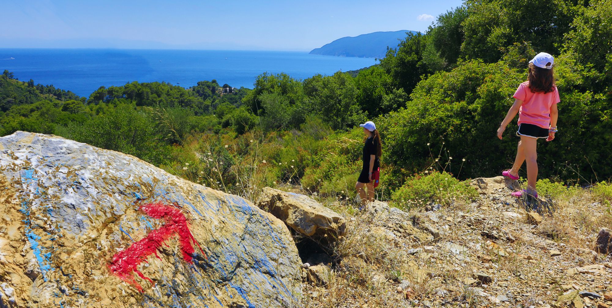
Going to Megalos Mourtias
Πατήστε για μεγέθυνση
Going to Megalos Mourtias
The hike starts from Chora main square and goes through the village alleys to the church of Evagelistria (there is an old communal cistern nearby). Continue on paved alleys and meet and follow the tarmac road to Megalos Mourtias.
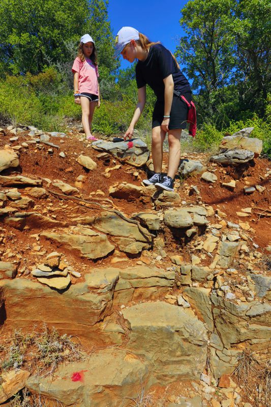
Text and photos by T. Adamakopoulos
Signage
Marking and signposting
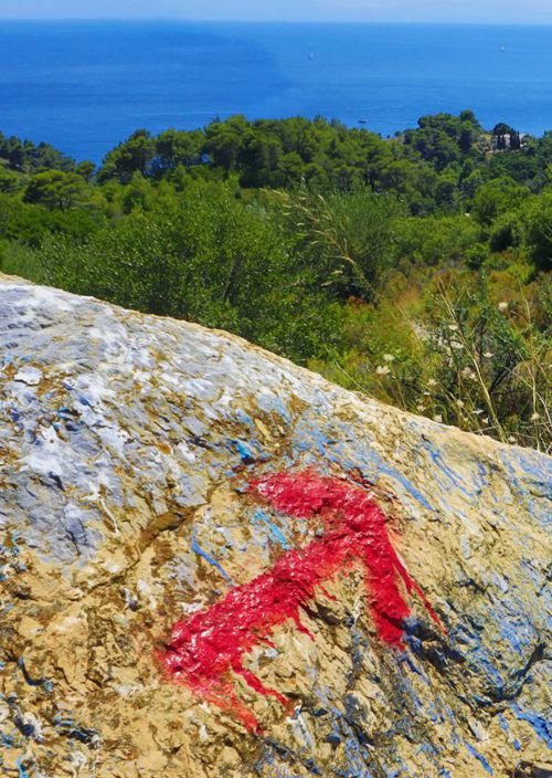
Throughout the hike, there are a few red marks. Take care of the route: if following the path is safe, however crossing the settlement, through the labyrinth of cobbled streets, is not obvious.
Notifications
Megalos Mourtias beach
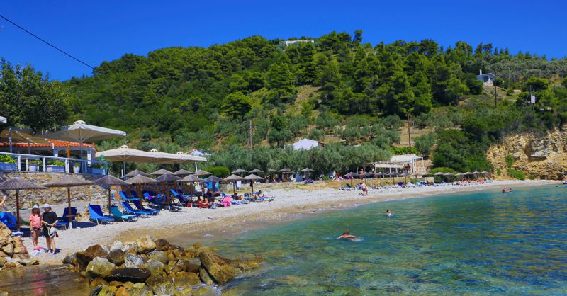
In the summer, almost the entire beach is occupied by the sunbeds of the 3-4 bars that surround the coast. There is no natural shade, drinking water, showers or other shared infrastructure on the beach.
From Megalos Mourtias one can continue along the rocky coastline to the nearby cove. The connection to Mikros Mourtias is not possible.
At the end of the beach there is a concrete pier, where the passengers of the tourist boats that circumnavigate the island disembark. Finally the island's underwater power cable comes out in in Megalos Mourtias, and therefore anchoring is prohibited.
Nature
The European copper skink (Ablepharus kitaibelii)
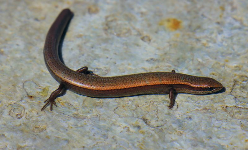
Although it is a diurnal reptile, we see it very rarely, as it avoids the high temperatures of summer and spends most of the day looking for small arthropods in the leaves or pine needles, under which it crawls in undulating movements, using its legs only for balance. The genus name indicates that it does not have eyelids, like common lizards, but transparent protective skin (a + blepharus = no eyelids in Greek).

topoguide Greece
ALONNISOS TOPOGUIDE
The digital field guide Alonnisos topoguide is available for Android devices as an in-app purchase within the application topoguide Greece. Alonnisos topoguide is a member of the Greek Islands group.
The digital field guide Alonnisos topoguide is also available for iOS (iPhone and iPad) devices as an in-app purchase within the application Topoguide Greece. There also, Alonnisos topoguide is a member of the Greek Islands group.

