Mega Nero-Megali Amos-Paliokalyva
On the Alonnissos hills
Mega Nero
Megali Amos
Paliokalyva

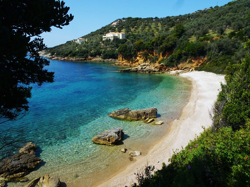
Mega Nero-Megali Amos-Paliokalyva: The coast in Megali Amos area
Text and photos by T. Adamakopoulos
Signage
Marking and signposting

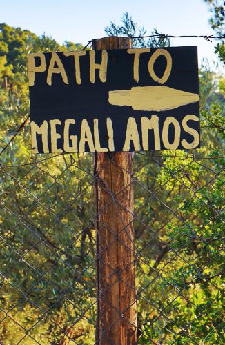
The Mega Nero-Megali Amos-Paliokalyva trail is well marked.
On route, we come across many of the direction signposts of the old hiking network of Alonissos, which serve the routes on this side (Megali Ammos, Agioi Anargyri, etc).
From the same project, there are several numbered yellow signs, as well as some newer red marks.
On route, we come across many of the direction signposts of the old hiking network of Alonissos, which serve the routes on this side (Megali Ammos, Agioi Anargyri, etc).
From the same project, there are several numbered yellow signs, as well as some newer red marks.

topoguide Greece
ALONNISOS TOPOGUIDE

A detailed description of the Mega Nero-Megali Amos-Paliokalyva, along with interactive maps, photos and POIs, is included in the digital field guide Alonnisos topoguide.
The digital field guide Alonnisos topoguide is available for Android devices as an in-app purchase within the application topoguide Greece. Alonnisos topoguide is a member of the Greek Islands group.
The digital field guide Alonnisos topoguide is also available for iOS (iPhone and iPad) devices as an in-app purchase within the application Topoguide Greece. There also, Alonnisos topoguide is a member of the Greek Islands group.

