Tsoukalia loop
Alonnisos / To the coast
Tsoukalia loop

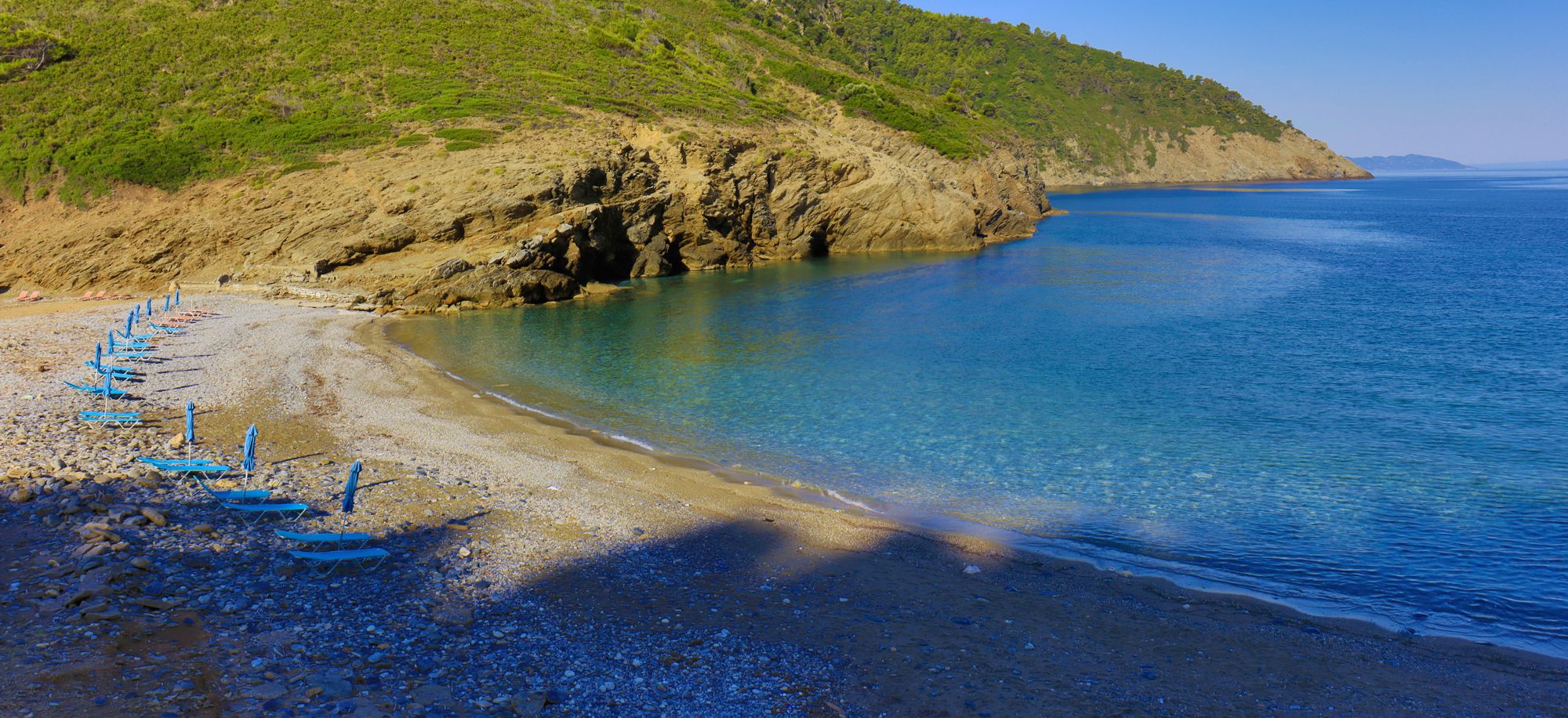
Tsoukalia beach
Πατήστε για μεγέθυνση
Tsoukalia beach
The bay of Tsoukalia offers two special features: a beautiful beach and an important archaeological site. The short circular route described here uses the road network for most of its length, to wander through a landscape that has changed little since ancient times.
The hike starts from the Mega Nero area and in the beginning takes the dirt road towards Agii Anargyri.
Leave the dirt road at the first ridge, and take an earth path through the pines and toward the sea. Pass close by the ruined chapel Agios Andreas and arrive soon above the beach. There, the path is on somewhat unstable ground, but the decent is short.
From the beach, take the asphalt to the starting point, passing through a green valley that in ancient times hosted the pottery workshops and the potters' camps. The leeward valley was cultivated for a long time with vines and vegetables and irrigated by the water of the scattered springs.
Text and photos by T. Adamakopoulos
Signage
Marking and signposting

Today, the hiker is served by the signpost indicating the archaeological site of Tsoukalia and the signpost indicating the dirt road towards Agii Anargyri.
This short trail is also marked with a few red signs.
Culture
The pottery in Tsoukalia

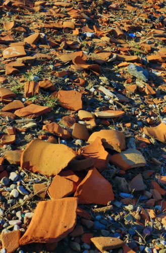
The wine was transported in clay amphorae. At Tsoukalia beach, a large volume of amphora fragments has been found, evidence of the large scale production of containers, as a consequence of the rich production and important export of wine.
The fragments come from the depositors of the pottery workshops, i.e. they are deliberately broken vessels of failed manufacture or firing.
The valley of Tsoukalia has some water resources, an element necessary for the preparation of clay - today only two coastal wells can be seen, but it is known that there were springs higher up. The clay extraction points were located on the surrounding hills.
Production activity in the area dates back to the classical period and early Hellenistic era.
The water in Alonnisos
The coastal wells

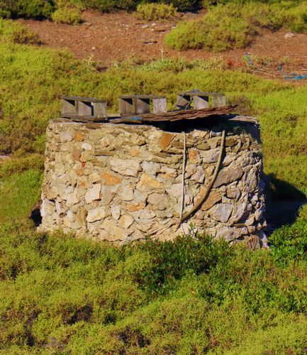
Coastal wells yield potable water only if pumping was slow - otherwise the freshwater contact zone with the seawater recedes upstream and the water soon has too high salinity.
On the beach of Tsoukalia we will find two wells, an older - public - one, opened in the sandy mouth of the gully (it carries the most usual type of manual pump, known in rural Greece as a tulumba), used mainly for watering animals, and a private one higher up.

topoguide Greece
ALONNISOS TOPOGUIDE

The digital field guide Alonnisos topoguide is available for Android devices as an in-app purchase within the application topoguide Greece. Alonnisos topoguide is a member of the Greek Islands group.
The digital field guide Alonnisos topoguide is also available for iOS (iPhone and iPad) devices as an in-app purchase within the application Topoguide Greece. There also, Alonnisos topoguide is a member of the Greek Islands group.

