Hiking in Skyros
Skyros offers an inexhaustible field for hiking and exploration. Some 5 routes are circling the highest peak, Kochylas; most of them are quite long and demanding. The loop trail from Chora to Panagia Lympiani is easier and in a much more friendly environment. Shorter trails, such as the hike around Palamari and the walk from the Chora to Molos, are meant for families and groups.

topoguide Greece
SKYROS TOPOGUIDE

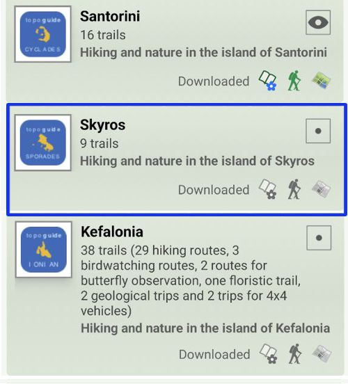
Created by hikers and environmentalists, Skyros topoguide is a digital field guide for the hiker and the nature lover visting Skyros Island. The guide includes interactive maps, metrics, photos, POIs and descriptions for 9 hiking routes, as well as a detailed guidebook on all intresting aspects of the island.
Digital field guide Skyros topoguide is available for Android devices as an in-app purchase within the application topoguide Greece. Skyros topoguide is a member of the Greek Islands group.
Digital field guide Skyros topoguide is also available for iOS (iPhone and iPad) devices as an in-app purchase within the application Topoguide Greece. There also, Skyros topoguide is a member of the Greek Islands group.
Once in the field, the application suggests a list of nearby trails and provides active navigation on the selected one. Along the trail, the app points out the adjacent Points of Interest, and opens the relevant chapter of the guidebook.

