Springs and lakes of Valia Kalda
Springs and lakes of Valia Kalda
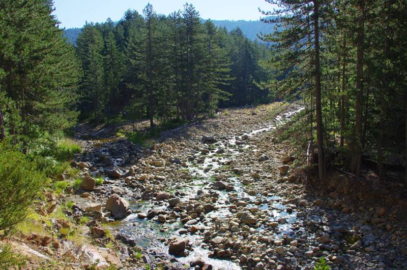
The convergence of the central stream of Valia Kalda with Salatoura stream gives birth to Arkoudorema
An area with impermeable rocks, NE Pindhos is expected to exhibit an intense hydrographic network. Indeed, Valia Kalda mountains supply two of the most well known aquatic systems of Greece, Aoos, via Arkoudorema stream, and Aliakmonas, via Venetikos river, collecting all the other runoffs of the area.
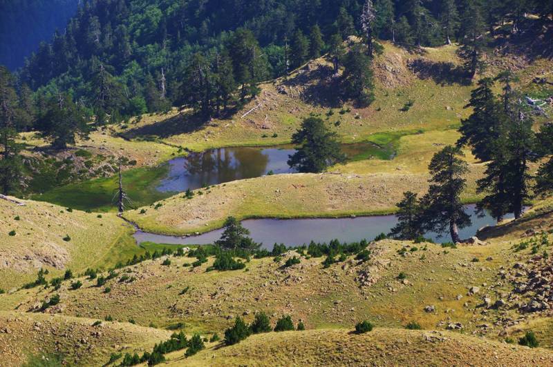
Flega lakes
Another main characteristic of Valia Kalda are the numerous small and larger lakes and mountain marshes, adorning the summits. The most well known are the twin Flega Lakes, the only true lakes of the area. The other extensive water surfaces, such as Lakkos Avgou, lose their coherence in the summer and turn to shallow marshes.
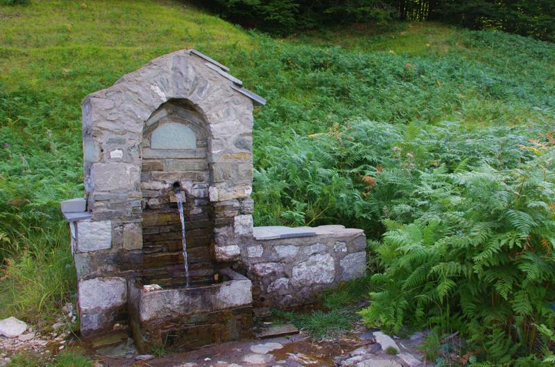
Fountain on the road from Perivoli to Valia Kalda
Gushes of the impermeable rocks might be numerous, but usually of reduced supply as they appear from discontinuities of limited extend. For this reason, but also due to the abundance of surface waters, the locals focused on the efforts of exploiting underground water mostly close to the springs and within the villages.
Text and photos: T. Adamakopoulos

topoguide Greece
Springs and lakes of Valia Kalda
The digital field guide Valia Kalda topoguide is available for Android devices as an in-app purchase within the application topoguide Greece. Valia Kalda is a member of the North Greece group.
Valia Kalda topoguide is also available as an in-app-purchase for iOS & iPad devices via the global hiking app Topoguide Greece app. There again, Valia Kalda topoguide is a member of the North Greece group.
Valia Kalda topoguide includes an extended introduction on the geography, the nature and the history of the area.
The app includes also data, photos, POIs and descriptions of 18 hiking routes. Once in the field, the application identifies the nearest routes and offers the user active navigation.
