Mt Menalon trails
Mt Menalon trails
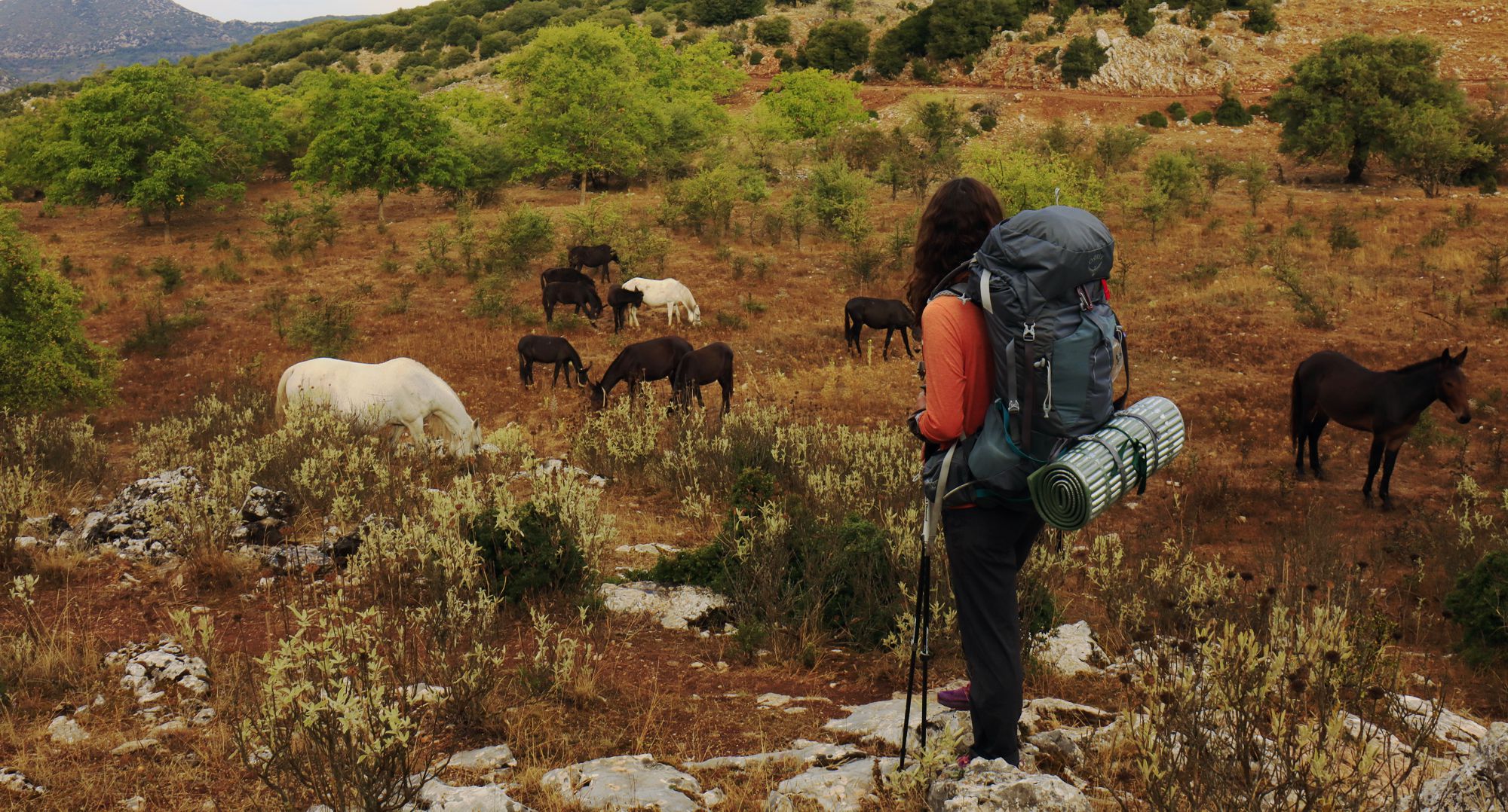
On the 3nd leg of Menalon Trail
(Click to enlarge)
Mt Menalo is a very large yet relatively smooth mountain of medium altitude. Within its labyrinthine terrain are hidden vast forests, large plateaus and long ravines, while important rivers such as Loussios, Mylaon and Alphios have their sources on its valleys.
On this mounainous canvas, the Arcadians created an endless network of paths and mule tracks. Today these paths are adopted by the local mountaineers, devoted to maintain them and build short and longer hiking routes.
The chapter on the trails of Mt Menalo presents the structure of a huge hiking network, which exceeds 600 kilometers and includes 2 legs of the European Trail E4, 3 legs of the National Trail O32, the five major crossings carried out by the Club of Arcadians Mountaineers and Ecologists, the long route of the Menalon Trail, the Arcadians Shepherds Trails and a number of smaller routes around Stemnitsa, Dimitsana, Elati, Vytina, Valtesiniko, Magouliana and Lagadia.
Mt Menalon Long Trails
The Club of Arcadian Mountaineers and Ecologists (SAOO), through a long-term effort, has mapped, cleaned and waymarked hundreds of kilometers of paths on Mt Menalon. These paths have been structured into 5 Long Trails. Each route has a distinctive color marking symbol: Green and Blue for the two routes starting from Tripoli, Yellow and Orange for the two routes starting from Vlaherna and Red for the route starting from Levidi. The starting points and ending points of the 5 routes are:
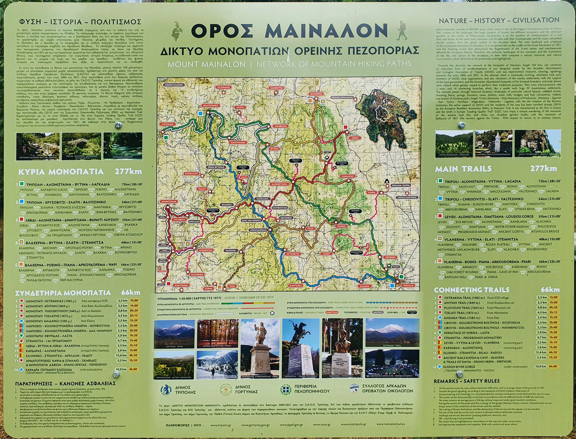
The main board of the Mt Menalon Long Trails network
(Click to enlarge)
- Yellow Trail: Vlacherna – Vytina – Mylaon river – Paleochori - Vlachika - Stemnita. Length: 40.9km
- Red Trail: Levidi – Mt Menalon refuge – Alonistena – Kanelakia – Dimitsana – Loussios Gorge – Atsicholos bridge. Length 51.2 χλμ.
- Orange Trail: Vlacherna - Mt Menalon refuge - Roino - Piana - Menali - Lykochia. Length 54.6km
- Blue Trail: Tripoli - Silimna - Mandeika - Chrysovitsi - Elati. Length 41.2km
- Green Trail: Tripoli-Perthori-Roeino-Alonistena-Vytina - Nymfasia - Magouliana - Valtesiniko - Lagadia. Length 71.3km
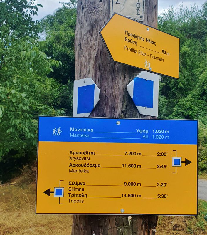
Most of the above five crossings have been already implemented on the ground with the appropriate markings and the relevant passability improvements, while works some in sections are still in progress (such as the Arkoudorema-Lykochia section of the Orange Trail).
E4 European Trail on Mt Menalon
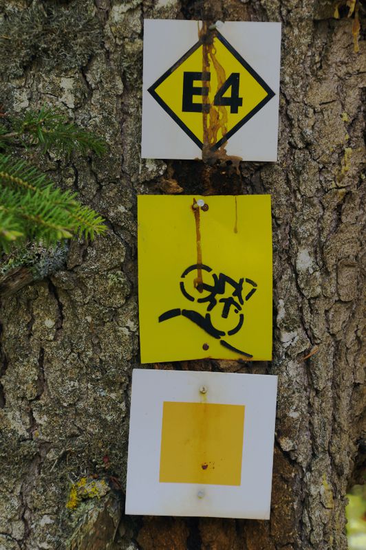
E4 signposting on its common course with Orange Trail
The European Trail E4 crosses Mt Menalo from the NW to the SE. Its first leg in the area, the Daras-Vytina section, crosses a long plain area and climbs to Nymfasia the then to Vytina, on the perimeter of Mt Menalon. The second leg, the Vytina-Tripoli section, is a much longer and difficult trail, crossing the eastern part of Mt Menalo.
- E4 Daras-Vytina: Daras - Nymfasia - Vytina. Length 18.5km
- E4 Vytina-Tripoli: Vytina-Mt Menalon refuge-Kardaras-Kapsia-Perithori-Tripoli. Length 36.3km
As most of its course in Greece, the E4 on Mt Menalo is an old effort that has lost its coherence. The Daras-Vytina section crosses rural landscapes along boring dirt roads and is of little interest. The Vytina-Tripoli leg is a relatively pleasant part of the whole E4 route in Peloponnese; however, due to its length, it could be divided into two sections. The best ovenight choice is Kapsia village, which offers several accommodation and catering facilities.
Menalon Trail
Menalon Trail is a long linear route that crosses the Western Menalon area, passing through nine interesting villages of Gortynia district.
The route starts from Stemnitsa, passes through Dimitsana, Zygovisti, Elati and Vytina and reaches Nymphasia, from where it climbs to Magouliana, reaches Valtesiniko and ends in Lagadia, tracing a 75 km long mountainous arc.
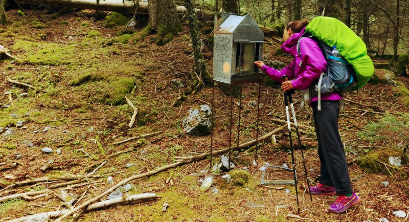
Based on the necessary stops in the villages for services and resupply, the Menalon Trail is divided into eight legs. This structure suggess a 8-days schedule and alternates longer and shorter legs, to give the hiker the opportunity to recover and taste the village life.
The 8-days structure:
- Menalon Trail, Stemnitsa - Dimitsana (Loussios gorge)
- Menalon Trail, Dimitsana - Zygovisti
- Menalon Trail, Zygovisti - Elati
- Menalon Trail, Elati - Vytina
- Menalon Trail, Vytina - Nymfasia
- Menalon Trail, Nymfasia - Magouliana
- Menalon Trail, Magouliana - Valtesiniko
- Menalon Trail, Valtesiniko - Lagadia
An experienced and well-prepared group can take just 4 or even 3 days, staying overnight in the villages or in the tent. A practical solution is to have dinner in the village and walk half an hour forwrard to the first meadow or chapel. All villages offer one or more restaurants, open all year round. Stemnitsa, Dimitsana, Vytina, Valtesiniko and Lagadia have a grocery store open all year round.
Read detailed presentations of the technical data of each daily section, as well as some aspects of the natural environment and the cultural wealth of the villages in the topoguide.gr web pages on Menalon Trail, where the objective risks and the optimal strategy to deal with this important route are also discussed.
National Trail O32 on Mt Menalon
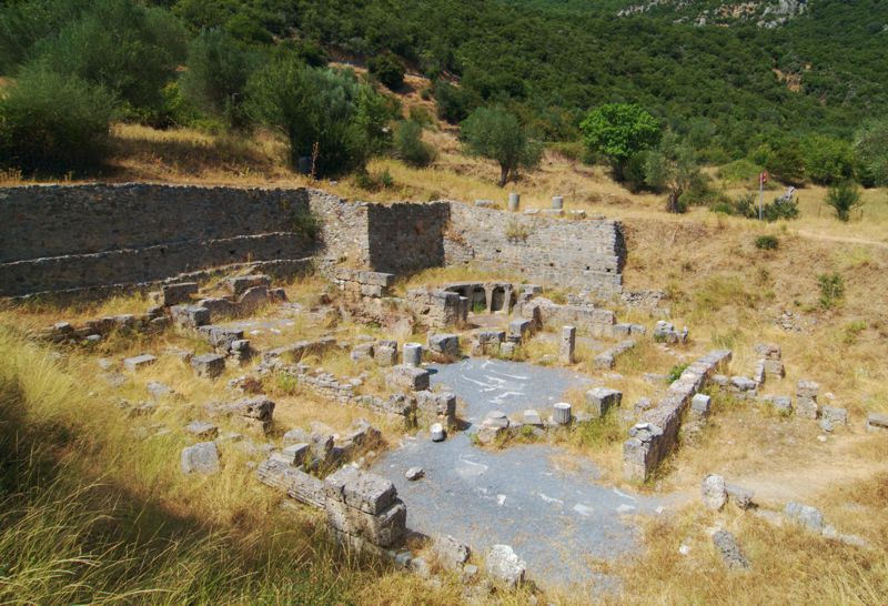
O32 National Trail starts from Vytina, where it diverges from the E4 and crosses the Western Menalon towards Karytaina. The distance is divided into the following 3 daily legs:
- O32 Vytina-Paleochori: Vytina - Methydrio - Mylaon river - Paleochori. Length 13.4km
- O32 Paleochori-Dimitsana: Paleochori - Vlachika - Zygovisti - Dimitsana. Length 16.9km
- O32 Dimitsana-Karytena: Dimitsana - Philosophou mon. - Prodromos mon.- ancient Gortyna - Karytena. Length 18.2km
Wherever O32 coincides with other routes (Menalon Trail, Yellow Trail, etc.), passability and orientation are safe. On the contrary, in the ancient Gortyna-Karytaina leg, both the condition of the path and the markings are problematic. The National Trails were a great idea that was abandoned.
Trails around Stemnitsa
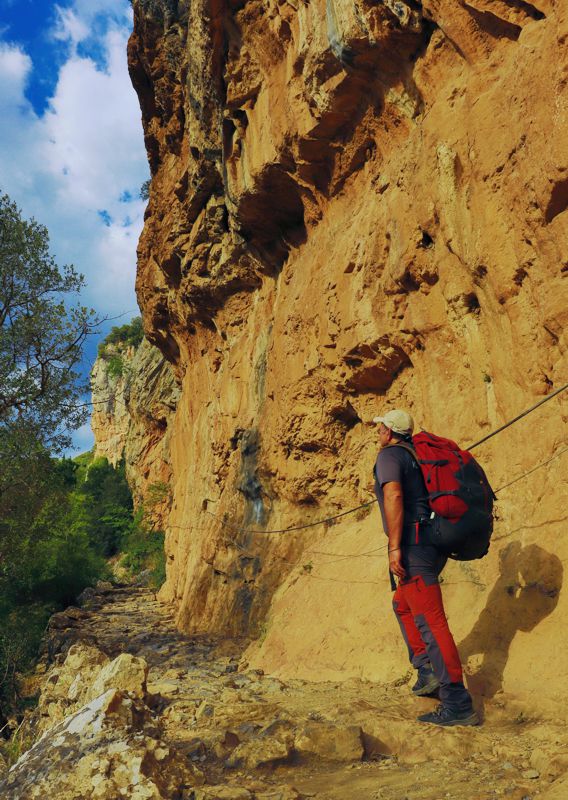
Near Prodromou monastery
The old paths around Stemnitsa are kept in fairly good condition. About 15 routes have been mapped, most of which are loop trails or short walks to nice viewpoints, particularly suitable for families or an afternoon walk.
- Stemnitsa - Agios Athanasios loop
- Stemnitsa - Agii Pandes
- Stemnitsa - Agios Ioanis
- Stemnitsa, Skemna loop
- Stemnitsa: Short loop
- Stemnitsa: Medium loop
- Stemnitsa: Great loop
- Stemnitsa - Ancient Gortyna
- Stemnitsa - Elliniko
- Klinitsa loop
- Stemnitsa - Dragonera - Poliana loop
- Stemnitsa - Litharostrouga
- Stemnitsa - Aemyalon monastery
- Stemnitsa, Savalas loop
- Stemnitsa - Radou
- Stemnitsa - Elati
Trails around Dimitsana, Zatouna and Zygovisti
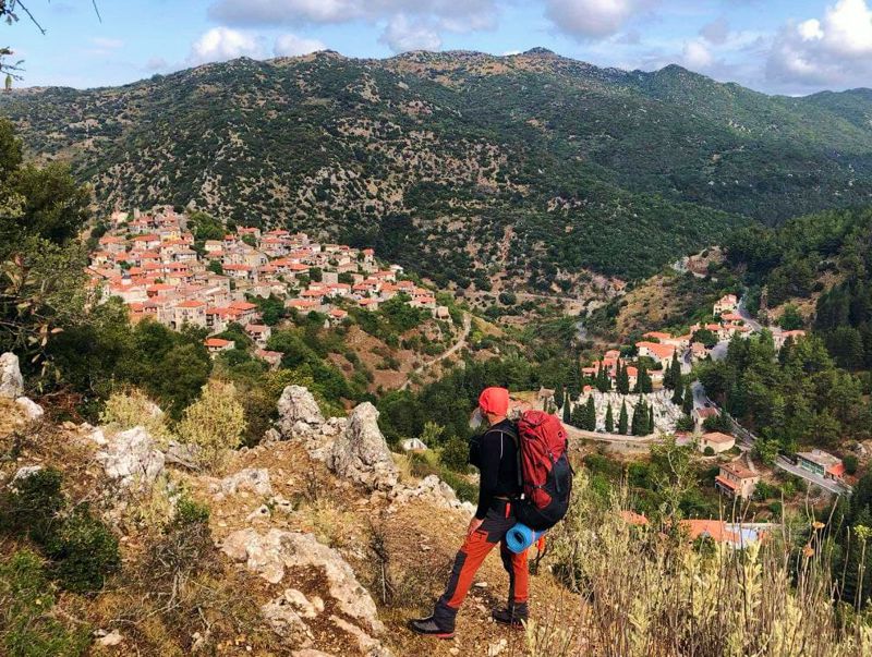
On the doorsteps of Dimitsana
Trails around Elati
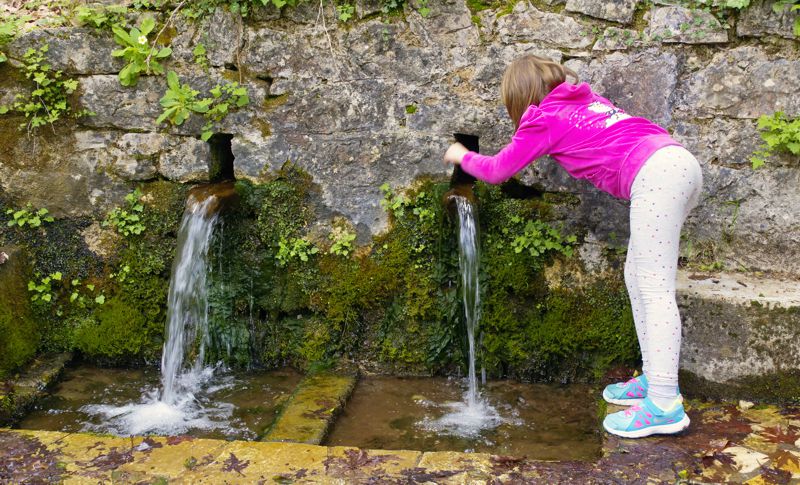
Trails around Vytina and Nymfasia
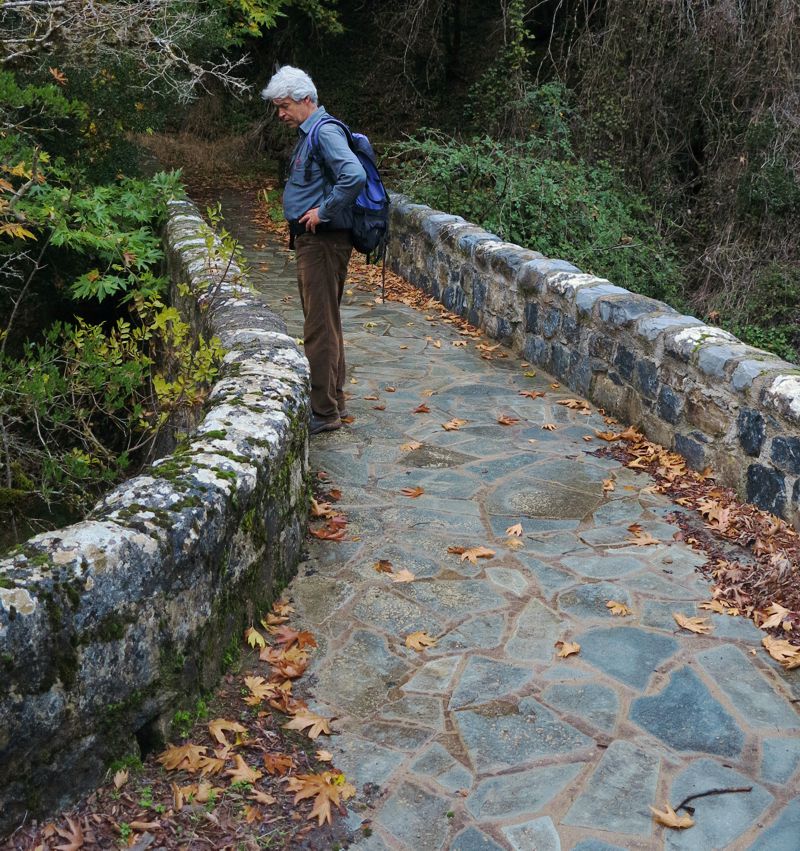
Trails around Magouliana and Valtesiniko
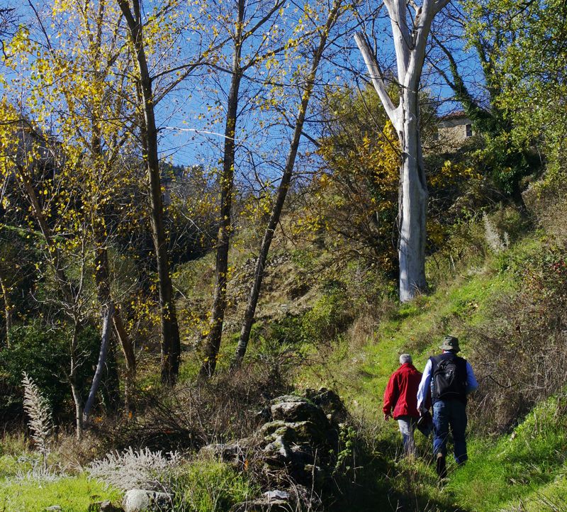
Climbing from Ela valley to Valtesiniko
Arcadian Shepherds Trails
- Valtesiniko loop
- Valtesiniko - Agia Triada - Agii Pandes
- Valtesiniko-Kaloneri
- Valtesiniko - Zirelia - Tsapournia
- Valtesiniko - Kryovrysi
Other trails
Trails around Lagadia
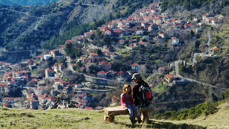
Panorama Drainas viewpoint
Text and photos by T. Adamakopoulos

topoguide Greece
A guide to Mt Menalon
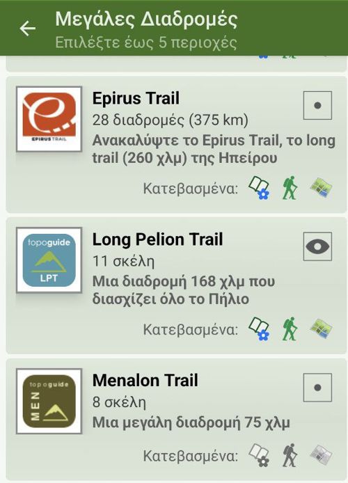
Mt Menalon topoguide is available for Android devices as one of the dozens of available region of Greece via the topoguide Greece application. Mt Menalon topoguide is a member of the Peloponnese group. Get the Mt Menalon guide as an in-app purchase through the app.
Mt Menalon topoguide is also available for iOS (iPhone & iPad) devices via the application Topoguide Greece. Get the Mt Menalon guide as an in-app purchase through the app, found in the Peloponnese group.
topoguide Greece offers active navigation along the trails, as well as a comprehensive guide to the geography, the nature and the culture of the area.

