Agionori-Klenia
Hiking in Mycenae
Agionori-Klenia
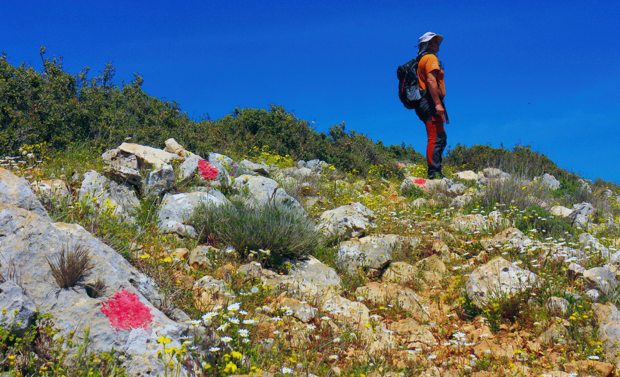
On the Agionori-Klenia trail
(Click to enlarge).
On the Agionori-Klenia trail
Till the end of 19th century, the major connection of Tenea with the plateau of Agionori followed the Klisoura ravine. This natural passage was part of the famous Kontoporia, the shortest passable line between Corinth and eastern Argolis. This axis is currently used by the country road, which coverd the traces of this great historical road.
If you want to hike today between Agionori and Tenea, the shortest way is the route we describe here. It is a combination of old paths, dirt roads and a long livestock path. The route passes by the church of Zoodochou Pigi Mouskofitsa, which honors the old spring that fed Klenia.
From the upper part of Agionori, follow the old, well-trodden path to the head of the Klisoura ravine. After reaching the asphalt, take an alley that soon becomes a path and leads to the large dirt road that serves the windfarm of Nyfitsa Mountains.
After a sharp turn of the dirt road, spot lower an active livestock installation and head down there by a short alley. In front of the pen, start an uphill path that soon reaches the ridge. From here begins the long downhill trail to Klenia.
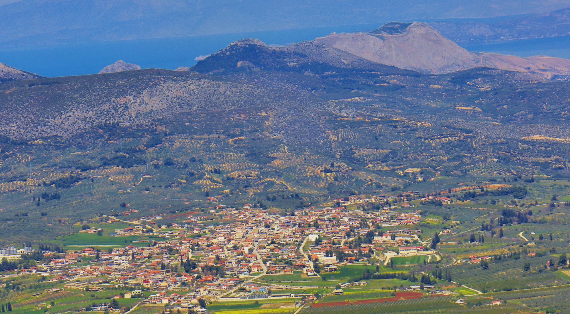
Chiliomodi, as seen from the highest point of the Agionori-Klenia trail
(Click to enlarge).
Chiliomodi, as seen from the highest point of the Agionori-Klenia trail
Akrokorinthos and its medieval castle are on the background
Text and photos: T. Adamakopoulos
Notifications
Walkability and warnings
However, the elevation difference is relatively high and the path, for its most part, is somewhat difficult. Thus, the trail is addressed to hikers familiar with the rugged Greek terrain.
Finally, the trail, is easier in the downhill version and of course quite demanding in the uphill direction. To return to the starting point, it would be a good idea to call a taxi in Klenia.
Waymarking
Signposts and marks
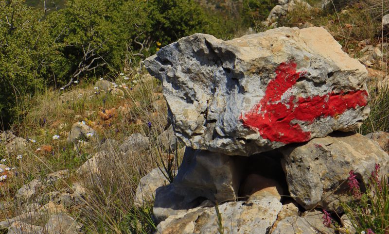
It is a two-way waymarking.
History
Nikitaras
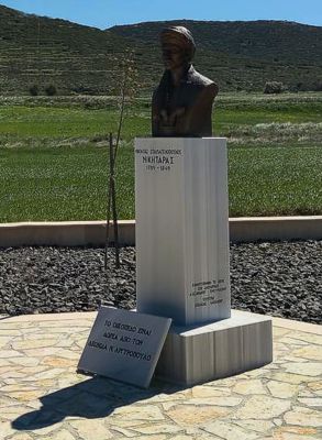
After the liberation he was persecuted, like all anti-monarchical chieftains. He was released from prison and given permission to beg. He was restored with the creation of the country's Constitution and lived a short political career.
Culture
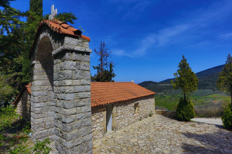
Zoodochos Pigi Mouskofitsa
The church is dedicated to the Virgin Mary, as Zoodochos Pigi. The use of the suffix Zoodochos Pigi for Virgin Mary comes from the 5th century and refers to the discovery of a miraculous spring in Constantinople.
The existence of the Virgin Mary as Zoodochos Pigi is present in the hagiography with the addition of a monumental fountain, usually at the bottom of the iconographic work. Zoodochos Pigi is celebrated on Easter Friday.
topoguide Greece
A GUIDE FOR THE TRAVELING
ALONG THE MYCENAEAN LANDSCAPE
The guide Mycenae topoguide is available for Android devices along with dozens of other regions of Greece, within the general application topoguide Greece. Mycenae topoguide is a member of the Pelponnese group. Get Mycenae topoguide as an in-app purchase from the topoguide Greece available regions list.
The Mycenae topoguide guide is also available for iOS devices (iPhone and iPad) through the general hiker application Topoguide Greece. Get Mycenae topoguide as an in-app purchase via the available regions list.
It is very interesting that topoguide Greece has the ability to simultaneously display up to 15 different areas, thus allowing an overall view of the Peloponnese and the easy alternation of hundreds of hiking routes, hundreds of Points of Interest and dozens of pages of the guide with innumerable photos.
