

To Profitis Ilias Vaserka
Hiking in Mycenae
To Profitis Ilias Vaserka

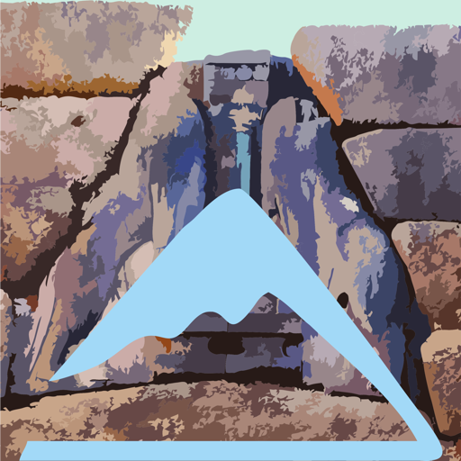
Profitis Ilias Vaserka
(Click to enlarge).
Profitis Ilias Vaserka
The place name Vaserka refers to a sparse rural settlement in the SE feet of Mt Profitis Ilias. People of Vaserka were farmers, harvesting the olive groves and other dry crops.
With the installation of the newest farming techniques and especially the irrigation and drainage networks, the old crops ceased to be of any interest and Vaserka was abandoned: the inhabitants gathered in Chonikas, some kilometers lower. Today, Vaserka can be only identified thanks to a few ruins.
The parish church of the village was built next to the ancient well. The chapel is dedicated Virgin Mary, called Panagia in Greece, which of course took the nickname Vaserka.
For centuries, the pastures of Profitis Ilias hosted the herds of Vaserka all year round. Climatic conditions are mild, so the shepherds were not forced to move to the high mountains in the Summer or in lower altitude in Winter. Thus the domestic animals of Profitis Ilias stayed around all year round, grazing ove the same poor phrygana we see today. No arboral vegetation was left around.
The easiest way to the top of Profitis Ilias Vaserka uses the very same road the shepherd take every single day to reach the pastures. The road stops before the steep and rocky summit crown, so this last part runs through a very good path.
At the top, Profitis Ilias Vaserka enjoys the best possible picture of the Mycenaean world: sea, plain and mountains are describing the landscape where the most important prehistoric civilization flourished.
The trail starts from the area of Panagia Vaserka and follow a series of rural roads until reach the dirt road that goes to Porfitis Ilias. Continue on this road to a plateau, where a large livestock facility.
From the sheepfold, the goat paths are clearer and one can easily reach the end of the dirt road, where there is a small parking area. There begins the path to the chapel of the Prophitis Ilias.
Pass a Greek flag and a small war memorail and reach soon the beginning of a large stone-built staircase. The steps lead just below the top. With a small rocky step, reach the plateau and the chapel. Excellent views throughout central Argolida.
Text and photos: T. Adamakopoulos
Notifications
Walkability and warnings
The stone-built staircase needs some attention, especially when climbing down, because part of it is covered with soil and gravel, which create a very slippery footing.
Culture
Panagia Vaserka well

The well next to the church of Panagia Vaserka is a typical ancient well (not of the type of cistern-well found in the mountainous zone) that descends to the level where the limestone rock comes in contact with the lower conglomerate layer. This well once had water seasonally but because contacts of this type do not have a constant tightness, today it does not have water anymore and it has been covered with a protective mesh, from the openings of which we can observe the construction with large blocks of limestone or marble.
topoguide Greece
A GUIDE FOR THE TRAVELING
ALONG THE MYCENAEAN LANDSCAPE
The guide Mycenae topoguide is available for Android devices along with dozens of other regions of Greece, within the general application topoguide Greece. Mycenae topoguide is a member of the Pelponnese group. Get Mycenae topoguide as an in-app purchase from the topoguide Greece available regions list.
The Mycenae topoguide guide is also available for iOS devices (iPhone and iPad) through the general hiker application Topoguide Greece. Get Mycenae topoguide as an in-app purchase via the available regions list.
It is very interesting that topoguide Greece has the ability to simultaneously display up to 15 different areas, thus allowing an overall view of the Peloponnese and the easy alternation of hundreds of hiking routes, hundreds of Points of Interest and dozens of pages of the guide with innumerable photos.
