Hikes around Keri
Hikes around Keri
Zakynthos topoguide: The Keri lighthouse
Paralia Keriou (Keri Beach), Marathias, Apelati village and the mountain village of Keri define a quadrangle around the small mountain Skopos Keriou. The southern coast is inaccessible, reaching its southernmost point in Cape Keri, where the homonym lighthouse can be visited. On the initiative of local authorities, three trekking routes has been identified. These trails combine paths and dirt roads to offer a small network connecting Keri to Paralia Keriou.

topoguide Greece
ZAKYNTHOS TOPOGUIDE

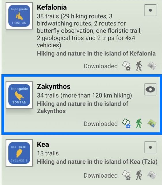
All hikes around Keri are included in the digital field guide Zakynthos topoguide.
The digital field guide Zakynthos topoguide is available for Android devices as an in-app purchase within the application topoguide Greece. Zakynthos topoguide is a member of the Greek Islands group.
The digital field guide Zakynthos topoguide is also available for iOS (iPhone and iPad) devices as an in-app purchase within the application Topoguide Greece. There also, Zakynthos topoguide is a member of the Greek Islands group.
Zakynthos topoguide includes an extended introduction to the geography, the history, the landscape and the nature of Zakynthos island, and a list of

