Zante Trail
Zante Trail

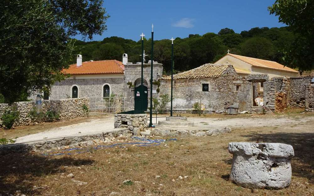
Zakynthos topoguide: Yperagathou monastery
In the spirit of long crossings along easy routes, mostly country roads, such as the Corfu Trail, Zakynthos municipality is proposing a long trail along the Riza, ie. the eastern side of the mountain axis of the island. In this preliminary form, Zante Trail is approximately 50 km long and consists of 6 sections, 3-5 hours long.

topoguide Greece
ZAKYNTHOS TOPOGUIDE

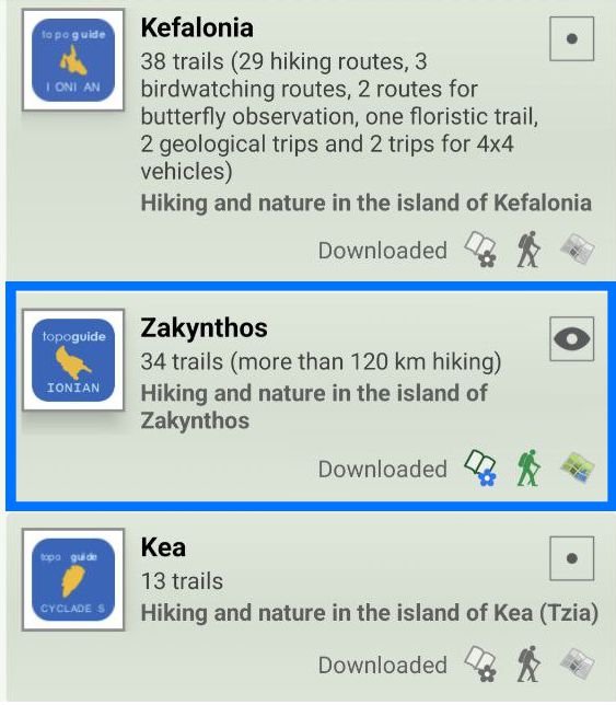
The six legs of Zante Trail are included in the digital field guide Zakynthos topoguide.
The digital field guide Zakynthos topoguide is available for Android devices as an in-app purchase within the application topoguide Greece. Zakynthos topoguide is a member of the Greek Islands group.
The digital field guide Zakynthos topoguide is also available for iOS (iPhone and iPad) devices as an in-app purchase within the application Topoguide Greece. There also, Zakynthos topoguide is a member of the Greek Islands group.
Zakynthos topoguide includes an extended introduction to the geography, the history, the landscape and the nature of Zakynthos island, and a list of

