Hikes along Riza
Hikes along Riza

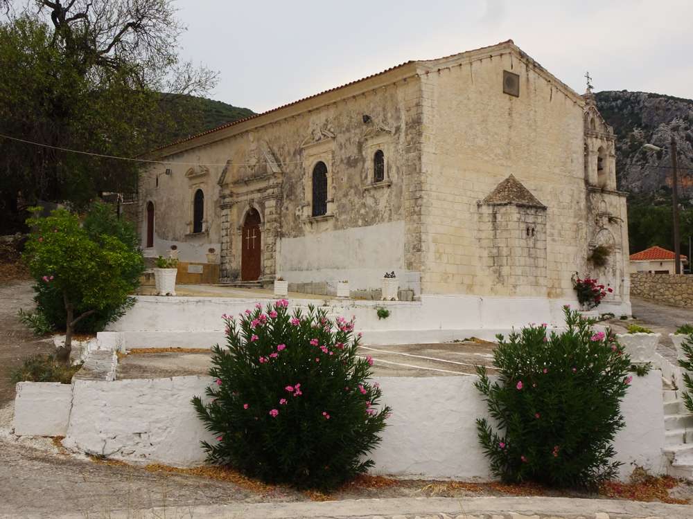
Zakynthos topoguide: The impressive church of Aghios Ioanis, Vougiato
We call Southern Riza the southernmost villages of the Riza, namely the villages along the eastern side of the major mountain massif of Zakynthos, Mt Vrachionas. A hike along faint paths, with a nice view to the plain, offers the connection between the mountain villages and the Riza. Along the Riza, an ecotourism trail about 3 km long has been proposed, passing by the main architectural and cultural spots of Old Lagadakia, Vougiato, Melinado and Macherado (the trail follows exclusively village streets). Finally, the dirt road connecting Kalithea to Lagopodo, practically out of use, whilst offering nice views of eastern Zakynthos, is proposed as a hiking route.

topoguide Greece
ZAKYNTHOS TOPOGUIDE

All hikes along the Southern Riza are included in the digital field guide Zakynthos topoguide.
The digital field guide Zakynthos topoguide is available for Android devices as an in-app purchase within the application topoguide Greece. Zakynthos topoguide is a member of the Greek Islands group.
The digital field guide Zakynthos topoguide is also available for iOS (iPhone and iPad) devices as an in-app purchase within the application Topoguide Greece. There also, Zakynthos topoguide is a member of the Greek Islands group.
Zakynthos topoguide includes an extended introduction to the geography, the history, the landscape and the nature of Zakynthos island, and a list of

