Monuments of Methana
Monuments of Methana
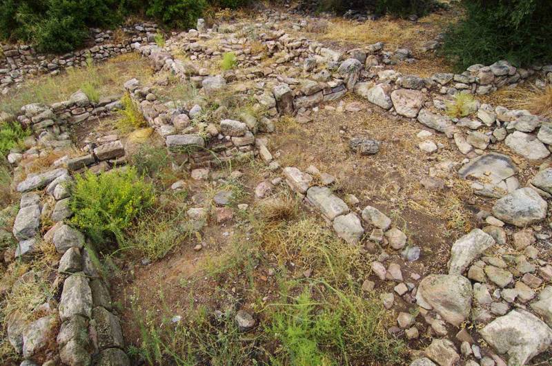
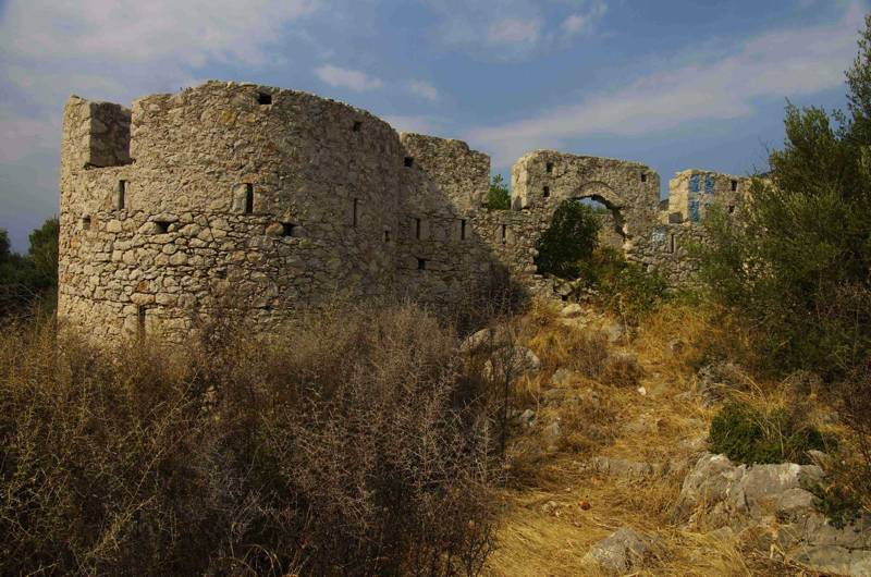
Several ruins of ancient fortifications and settlements are still visible in the peninsula. In the town of Methana, on the island-peninsula of Agii Anargyri, the ruins of an impressive wall of the classical and archaic era are visible. Under the church of Agii Anargyri there are the remnants of the cyclopean walls of the 6th c. BC. In 1990, near the town of Methana, the archaeologists discovered a prehistoric settlement of the Mycenaean Era (14th to 13th c. BC) and the remains of a building, believed to have been a place of worship of a prehistoric deity - possibly of Poseidon.
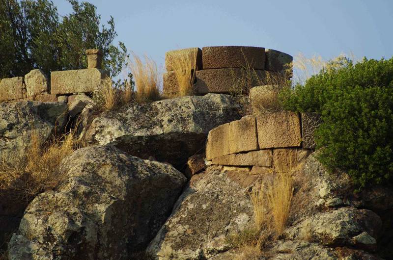
In the Throni plateau one can see a well-preserved tower of the 4th c. BC and the ruins of an oil mill of the 3rd c. BC.
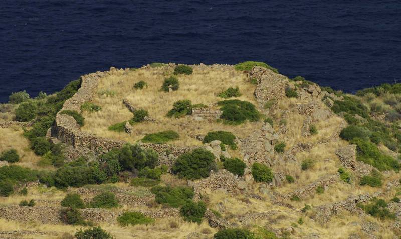
On a low hill, east of Kypseli, the ruins of a large Mycenaean citadel, called Ogas Castle, are well preserved.
On the hill of Paleokastro, near Vathy, the ruins of the acropolis of ancient Arsinoe, built during the 4th to 3rd c. BC with volcanic rocks, are quite well preserved.
Finally, in the narrow isthmus connecting Methana with the Peloponnese, a fortress have been built in 1826 by the French officer Charles Nicolas Fabvier. The castle was built on the ruins of an ancient fortification of the 5th c. BC.
It is worth noting that several remnants of ancient olive mills have been found on the peninsula.
Text and photos: T. Adamakopoulos

topoguide Greece
A GUIDE FOR METHANA PENINSULA
The guide Methana topoguide is available for Android devices along with dozens of other regions of Greece, within the general application topoguide Greece. Methana topoguide is a member of the Pelponnese group. Get Methana topoguide as an in-app purchase from the topoguide Greece available regions list.
The Methana topoguide guide is also available for iOS devices (iPhone and iPad) through the general hiker application Topoguide Greece. Get Methana topoguide as an in-app purchase via the available regions list.
It is very interesting that topoguide Greece has the ability to simultaneously display up to 15 different areas, thus allowing an overall view of the Peloponnese and the easy alternation of hundreds of hiking routes, hundreds of Points of Interest and dozens of pages of the guide with innumerable photos.
