

Ascent to Agiolias
Hiking in Mycenae
Ascent to Agiolias

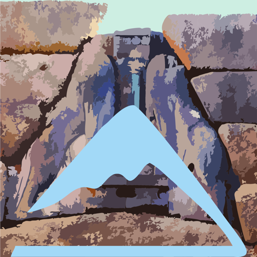
Agiolias chapel in the mist
(Click to enlarge).
Agiolias chapel in the mist
Mt Charvati rises above the ancient Mycenae area and together with the opposite peak Mt Sara they delimit the passage through which the Mycenaean Way headed to Prosymna.
Charvati is steep and desperately rocky and would have no interest for the Mycenaeans if it did not offer full view of the Argolic Plain. From the top, one could monitor the movement from Dervenakia to the sea and transmit rough information with visual messages to the underlying city.
Therefor, one of the Mycenaean watching towers has been located on this very summit. The remnant of the tower is accompanied today by a stone-built chapel dedicated to Prophet Elias - the chapel is known to the locals as Agiolias. The climb to this rugged peak is one of the most daring hikes one can attemt around Mycenae.
The trail starts from the entrance of the archeological site of Mycenae and initially follows the dirt road which is marked as Mycenaean Road. At a fork, follow are relevant signs and take the left branch. Open the estate door and continue on an uphill dirt road.
After an olive grove and other cultivated areas,enter the bush zone and meet a second door. The dirt road becomes very uphill and finally ends abruptly.
There, under a large red rock, begins the path, which maneuvers in a very rocky and unstabel field. Towards the end, the path reaches a natural ramp with herbaceous vegetation, where its trace is not so obvious; nevetheless, the top is now very close and all is left is a small steep step.
The view from the top gives geography lessons.
Text and photos: T. Adamakopoulos
Waymarking
Signs and marks

At the intersection with the Mycenaean Road, there is a sign indicating the road to the chapel (and the estate).
Then there are no confirmation signs. However the trail is clear and navigation can only become problematic under particularly adverse weather conditions.
Notifications
Walkability and warnings
The trail is as good as it could be a trail on the wild terrain of this rocky peak. It is generally clear and the only points that could be confused are in the maneuvers.
The summit area is rocky, with no flat section. The church is open, clean and relatively spacious - suitable to shelter for a while from adverse weather conditions.
Culture
Agiolias watchtower

The remains of the fortification are rather poor. Apparently the steep peak did not need artificial fortification, in fact the rocks that delimit it are effective natural walls and the access follows a specific route. On the other hand, it is certain that a large part of the stones that constituted the fort were used in the construction of the neighboring church.
topoguide Greece
A GUIDE FOR THE TRAVELING
ALONG THE MYCENAEAN LANDSCAPE
The guide Mycenae topoguide is available for Android devices along with dozens of other regions of Greece, within the general application topoguide Greece. Mycenae topoguide is a member of the Pelponnese group. Get Mycenae topoguide as an in-app purchase from the topoguide Greece available regions list.
The Mycenae topoguide guide is also available for iOS devices (iPhone and iPad) through the general hiker application Topoguide Greece. Get Mycenae topoguide as an in-app purchase via the available regions list.
It is very interesting that topoguide Greece has the ability to simultaneously display up to 15 different areas, thus allowing an overall view of the Peloponnese and the easy alternation of hundreds of hiking routes, hundreds of Points of Interest and dozens of pages of the guide with innumerable photos.
