Map and POIs of Mt Parnassos
Map of Mt Parnassos
Points of Interest

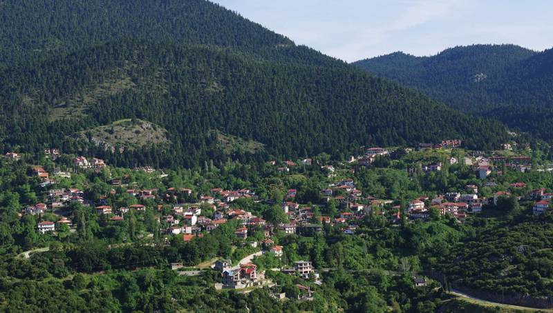
Parnassos topoguide: Agoriani, the only true mountain village of Parnassos
The map of Mt Parnassos hosted in this page, is also included in the application Parnassos topoguide, a member of the application topoguide Greece, available for Android devices as well as for iOS devices (iPhone and iPad) by AnaDigit.
This topoguide map is created by a dedicated map server and offers 18 zoom levels, corresponding to a scale range going down to 1:2.500. Across more than 20 thematic levels compiled to compose the map of Mt Parnassos, the user can find:
- All towns and villages.
- More than 300 km of paths.
- All road network, down to 4X4 dirt roads.
- More than 100 place names.
- All churches and monasteries.
- All ancient and medieval monuments.
- All springs, well and fountains.
Points of Interest (POIs)
Parnassos topoguide includes

