The villages
Long Pelion Trail
The villages
Long Pelion Trail crosses the settlements Kamari, Keramidi, Veneto, Makrinitsa, Agios Onoufrios, Stagiates, Portaria, Chania, Mouresi, Damouchari, Tsagarada, Milies, Afetes, Afissos, Lefokastro, Kalamos, Argalasti, Lafkos, Platanias, Mikro, Chondri Ammos, Valtoudi, Trikeri and Agia Kyriaki. Moreover, the route pass by the Flamouri and Sourvia monasteries.
These settlements offer catering, accommodation and supply infrastructure - in most cases more facilities are available during the summer months.
Northern Pelion
Kamari
Kamari is the starting point of the first part of LPT. It is a seaside hamlet located at 30m above sea level. As a seaport for the much more populated Keramidi, Kamari provides some tourism-related services during the summer months.
Keramidi
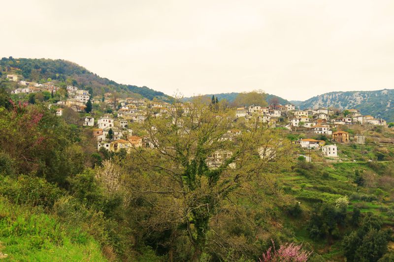
Keramidi is located at an elevation of 350m. It is a picturesque village, with scenic alleys and old house of traditional architecture. The village is built is 16th century, in this remote and hidden location, in order to be hidden from the pirates and other invaders. It is the main village of the broader area and it has 700 inhabitants. This number almost doubles during the summer months, due to the pleasantly cool climate and the close distance to the beautiful beaches. The view to the Aegean Sea and Kassandra peninsula of Chalkidiki can inspire even the most demanding travelers.
In the past, Keramidi used to be the commercial and administrative hub of Northern Pelion. Today, Keramidi along with Veneto, form one of the four communities of Magnesia district which are not integrated in the Volos municipality administrative unit. The other three communities are are Anavra, Makrinitsa and Trikeri.
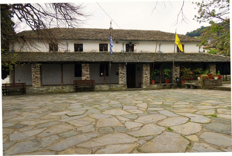
In the charming stone alleys one can find many small local businesses with traditional products, as well as taverns and kafeneia (coffee houses), while it’s worth visiting the Folklore museum of Keramidi, very close to the town square. The core of the settlement is formed by two-storey houses, built at the end of the 19th century.
There are three options for those who want to spend time at the seaside: the beach of Kamari, Agrielia, where there is also a small fishing spot and the more popular beach Ai Giannis.
Veneto
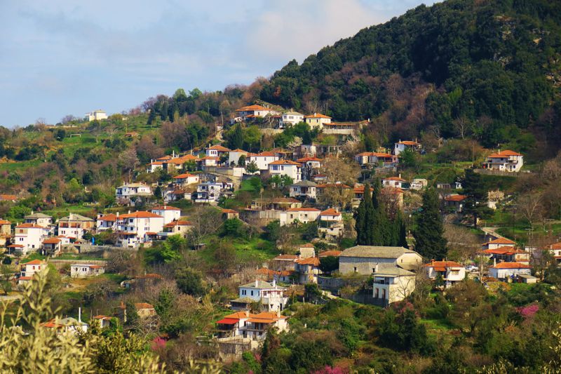
Veneto is located SE of Keramidi, at an altitude of 320 meters and is one of the most authentic villages of northern Pelion. The settlement spreads on a sunny balcony at the base of dense forests of oak, chestnut, walnut and plane trees.
From Veneto, the access to the coast is done either via the Koulouri bay, which served as the port of the village, or via the beach Petromelisso. On the rocks of its wild coast open sea caves and other karst formations, which are the subject of exploration of organized coastal excursions starting from Agiokambos.
Center Pelion
Makrinitsa
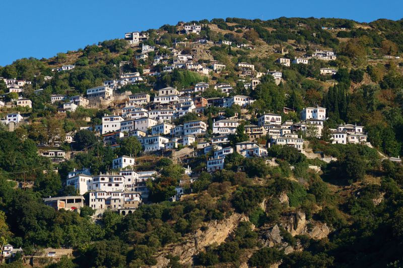
Makrinitsa is one of the best known traditional villages of Mt Pelion. Its close distance to Volos, the well-preserved traditional buildings and the majestic view to the Pagasitikos Gulf Makrinitsa a perfect tourism destination. Besides its natural beauty, Makrinitsa offers a lot of choices in accommodation and gastronomy. The large village square with the beautiful fountains and the wonderful view to the sea is the distinctive spot of the area.
Makrinitsa is named after the monastery of Holy Mary Oxias Episkepseos or Makrinitissis, which was built after the first Fall of Constantinople by the Crusaders in 1204. Then, during the 18th century, the settlement started expanding rapidly due to the growing trade and the installation of tanning workshops. By the beginning of the 19th century, Makrinitsa had become the most dense populated town of the region, consisting of many majestic manor houses following the traditional architectural style of Mt Pelion.
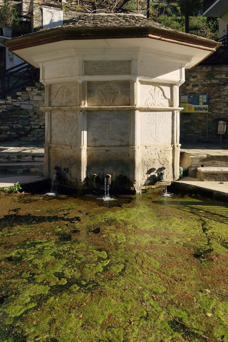
Agios Onoufrios
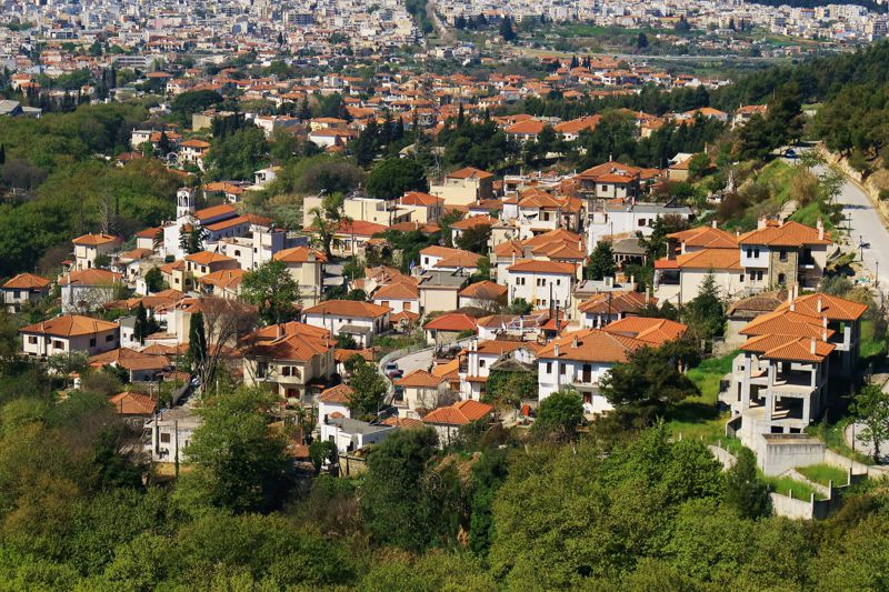
Agios Onoufrios is a small but very charming village which bears the name of the old local monastery. The village is built on the west coast of Krafsidonas stream, which the locals call Mega Rema (Great Stream). Very close to the town square looms the mansion of Zafeiriou, with azure colored shutters and blue door, one of the few neoclassical buildings of the area. Just above the village, the flowing fresh water of the stream feeds an unexpected waterfall. Close to the bank of the stream, which is cloaked with vivid plane trees, one can find the chapel of Ai Nikolaki tou Kremastou, hidden under the hanging rocks.
Stagiates
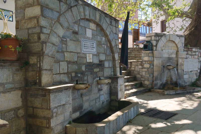
Stagiates is a picturesque, small village of 121 inhabitants, located between Makrinitsa and Portaria, offering splendid view to the city of Volos and Pagasitikos Gulf.
At the town square the visitor finds a marvelous fountain, built during the Ottoman Empire and featuring an Arabic writing.
The village was always known for its flowing fresh water and the traditional recipe for sausages. Loukanikades, as the locals used to call the sausage cooks, were famous for their special skills and the products were very popular in the broader area. Over time, the interest in this different economic activity was lost, however every year, in July, the visitors can enjoy the “Sausage Celebration” at the town square. In the past, another profitable activity was the textile industry, since the abundant fresh water enabled the development of “dristela”, a large wooden waterway where the whitening of the cloths used to take place.
During the Ottoman Empire, Stagiates was one of the machalas (neighborhood) of Makrinitsa. In 1912 it became a separate community, whereas in 1999 it appertained to the municipality of Portaria. Finally, in 2011 the settlement got integrated into the municipality of Volos.
Portaria
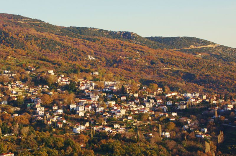
This beautiful settlement looks like it’s hanging above Volos, observing the hustle and bustle of the city. Within a close distance from Volos, it always has been the “gate” to the fascinating world of Mt Pelion.
In the center of the village we can look around the remarkable manor houses which are fully renovated and serve as guesthouses. One of them, Zoulia mansion, hosts the Historical and Folklore museum. Another famous sight of Portaria is the church of Agii Anargiri, built in the period 1791-1891 and surrounded with lively hydrangeas. In the heart of the town of Portaria the visitor can find many traditional guesthouses, bars, restaurants and local shops.
The number of inhabitants of the village today is 552 and hosts the administrative center of the homonymous municipal unit where the settlements of Agia Paraskevi, Agios Ioannis, Alli Meria, Goritsa, Katochoria and Stagiates are also incorporated.
Chania
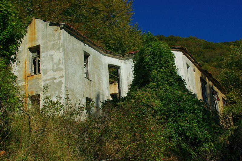
The village of Chania is located at 1200m of elevation and it’s the most mountainous settlement of Magnesia prefecture. It got its name from the numerous "chania", the old inns, providing accommodation and simple food to chandlers and other travelers in the past. This small site is surrounded by impressive beech and pine forests and offers the several tourism services. Only 2km far from the village, at an area called Agriolefkes, we find the well known Mt Pelion Ski resort.
Western Pelion
Mouresi
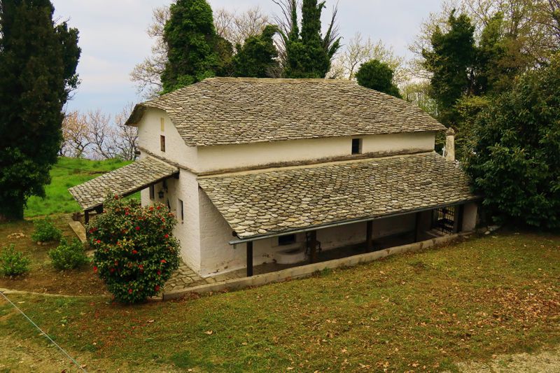
Mouresi is well-hidden under the shade of the lush slopes of the mountain, yet it faces the Aegean Sea. It is located at an altitude of 350m, built following the traditional architectural style of Pelion, as it is one of the oldest settlements of the region. The majestic mansions, the marvelous town square and the historical chapels with the sculpted wooden iconostasis are the main features of the village. The three gracious linden trees encircle the town square, where looms the elaborate church of Holy Trinity.
Within a short distance from the settlement, close to the high hill named Tsouka, the visitor can find a cave with stalagmites and stalactites. There it’s believed that the centaurs had their residence and it’s called Cave of Chiron.
Damouchari
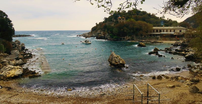
Damouchari is a small and traditional fishing village nested in the inner part of a closed the bay. The hamlet is a very well sheltered natural port which used to be the only seaport for Mouresi and Tsagkarada. A rocky peninsula forms two natural coves: the picturesque harbor at its north side and a wild beach with white pebbles at the south. There are also a few well-hidden houses in the olive groves and in the forest around of the settlement. All buildings are following the traditional architecture.
On the peninsula the visitor can find the remains of a Venetian castle, which provided shelter and protection from the pirates. Nowadays, Damouchari is the most authentic port of the eastern side of Pelion.
Tsagarada
Tsagarada is a quite extended village which consists literally of four smaller settlements. These distinct neighborhoods are named after the church which looms in their center: Agii Taxiarches, Agia Paraskevi, Agios Stefanos and Agia Kyriaki. Among them, Agios Stefanos is the oldest one, built in 1746.
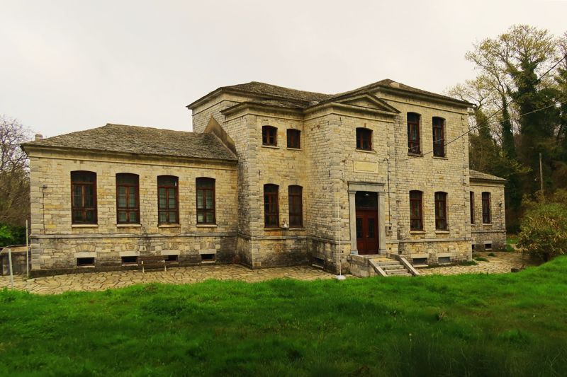
There are 784 inhabitants and the village of Tsagarada belongs to the municipality of Zagora-Mouresi.
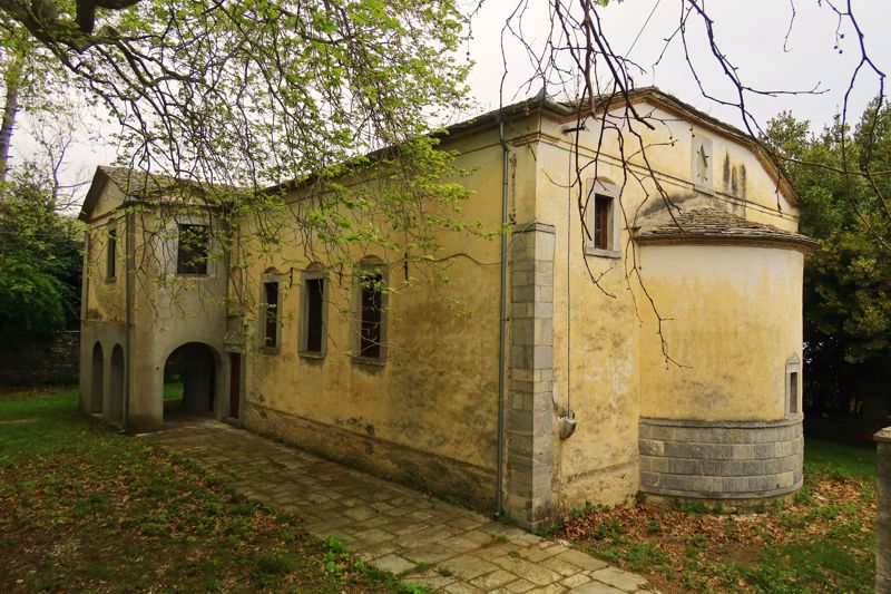
The visitor can also visit Nanopouleios School, built in the beginning of the 20th century and with the financial support of Nikolaos Nanopoulos. It used to serve as a secondary school for financial studies, whereas today it hosts the primary school of Tsagarada and other villages.
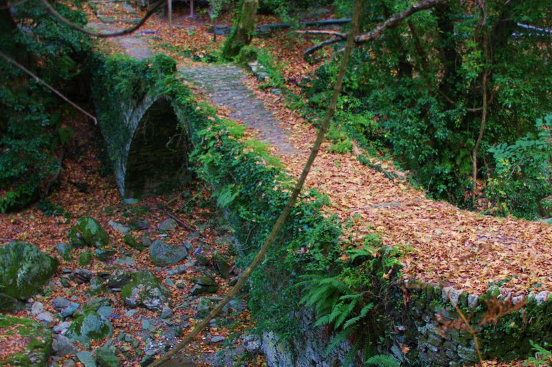
Southern Pelion
Milies
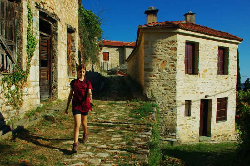
The lively village of Milies is located at an altitude of 400m, well-protected from the pirates coming from the sea. It has 636 inhabitants and many visitors since the settlement is famous for its cozy and charming atmosphere. Moreover, it has long cultural activity and history. It’s worth a visit to the historical library, one of the oldest in the country, which used to be an educational school called “Psichis Akos”, meaning “spirit healing”. It was built in 1814 with the sponsorship of the scholars Anthimos Gazis, Danihl Filippidis and Grigorios Konstantas.
One of the most preferable activities of the visitors is the train route which starts from Lechonia and ends at Milies. The train is renovated and offers an enjoyable experience. The length of the trip is 16km with two stops.
Afetes
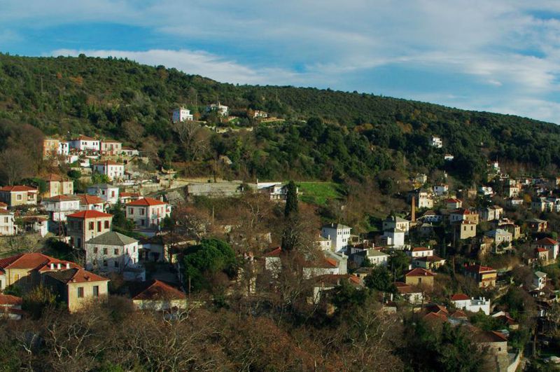
Afetes is a quite large settlement, built at 300m altitude. The houses are spread amphitheatrically along two converging slopes and three verdand ravines, bridged with three stone-built arches. Five picturesque chapels, the paved square and the old olive-oil mill are some of the elements that urge the visitor to spend some time exploring the settlement. Impressive plane trees and the majestic church of Ioannis Prodromos with the gilded wood-carved iconostasis adorn the center of the village.
Afissos
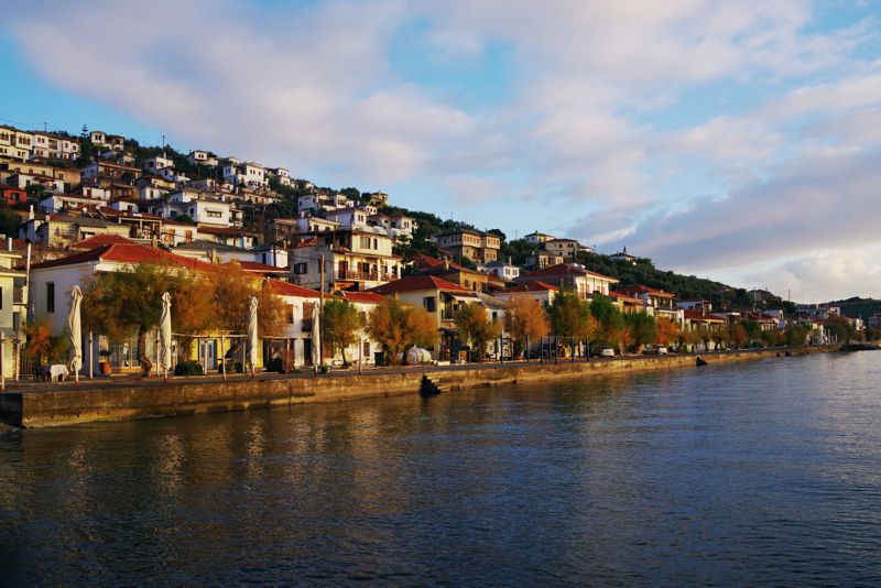
Afissos is a coastal settlement, which embraces a wide bay. According to legend, Jason and the Argonauts stopped here for food and water supply from the fountain that still flows in the central square before continuing their journey to distant Colchis. For this reason the village square is called "Argonauts".
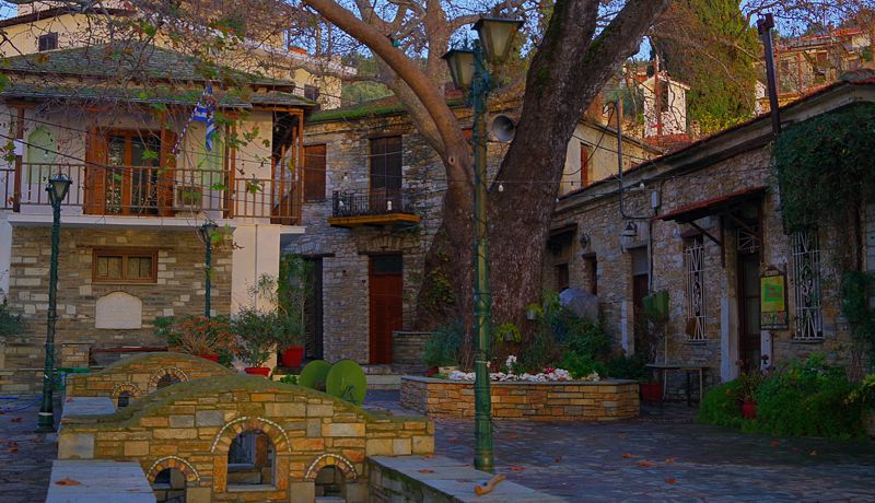
Lefokastro
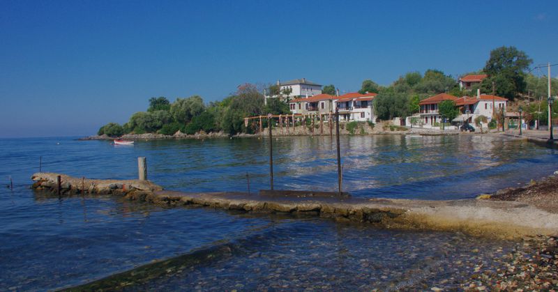
Lefokastro is a picturesque fishing village next to a beautiful beach with blue, crystal waters. The dense vegetation goes all the way down to the sea whereas the area is well-protected from the strong winds and hidden from the mass tourism.
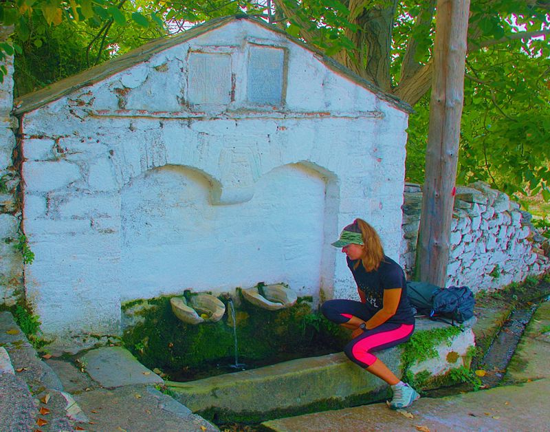
Kalamos
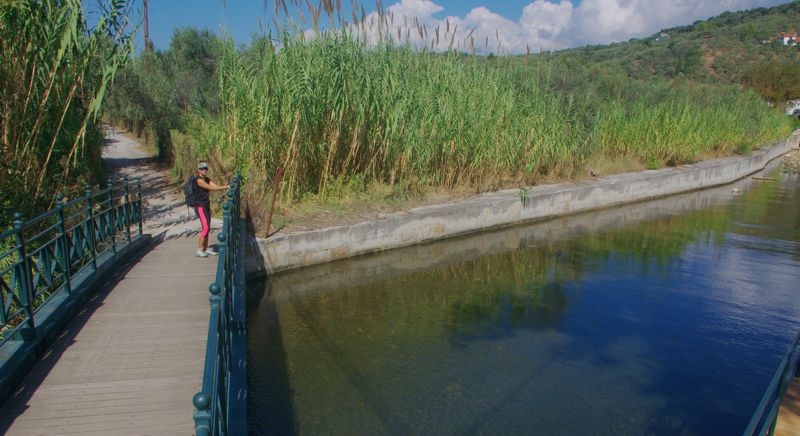
Kalamos is a coastal settlement, at the south of Lefokastro. It impresses the visitors with its scenic colors and its simple but elegant beauty. There are grand stone cottages and a small stream which flows into the sea. In the center of the village we find the beautiful church of Agia Paraskevi and the chapels of Holy Trinity and Holy Mary.
Argalasti
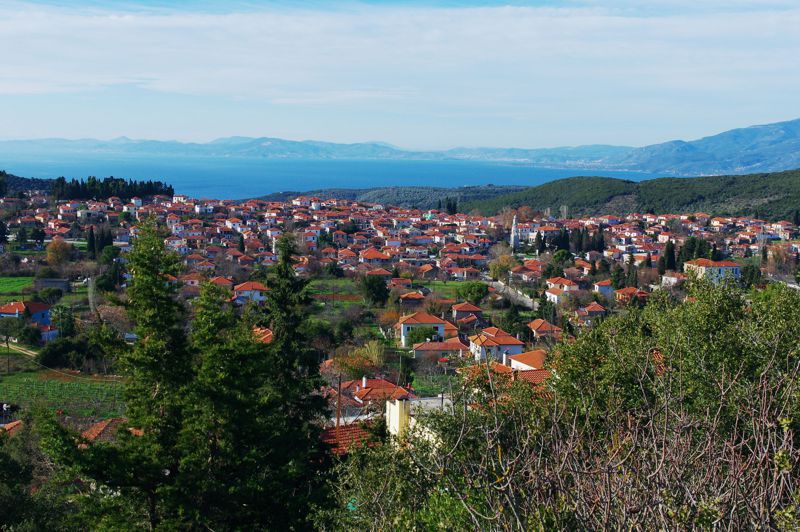
Argalasti is the local reference center of the entire area of Southern Pelion. As an administrative and financial center since the past, it hosts the headquarters of the municipality of South Pelion. In ancient times, there used to be many well-organized settlements such as Olizona, Sipiada and Spalatha. Moreover, Argalasti was a haven for Epirotes, Thessalians and Roumelians and it was developed as a distinct community in a Turkish paper in 1653. During the Ottoman rule, the area showed rapid financial evolution due to the silk production.
The settlement extends in the heart of a fertile valley, surrounded with beautiful olive groves. The neighboring villages of Kalamos, Lefokastro and Chorto used to be its seaport and trade stations. Today, it counts around 1300 citizens.
In the town square of the village, looms the church of Agii Apostoli, built in 1886. Its worth to see the astonishing marble steeple which bears a beautiful clock and it’s built following the architectural style of Agia Fotini in Izmir. Another gem of the area is the recently renovated Girls’ school, where the famous poet and scholar Kostas Varnalis used to be principal.
Argalasti provides the visitors with several facilities, such as markets, taverns and accommodation. It serves as a well-organized starting point for exploration of the broader area of Southern Pelion.
Lafkos
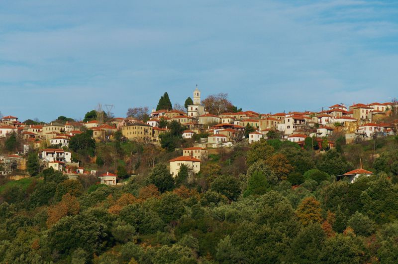
Lafkos is a large village, built between the 15th and the 16th century, at an elevation of 310m. Its special geographical location offers an impressive view to Pagasitikos bay, to Alatas islet and even to the distant settlement of Trikeri. The historical coffee shop (kafeneio) of Forlidas, built in 1785, gives us an unforgettable experience and a joyful atmosphere of the everyday routine of the locals. Scholars and artists used to patronize this individualistic spot, enjoying the natural and architectural beauty of the area.
On the other side of the square, the old school building hosts a small museum named Fambeio, in honor of the local artist Thanasis Fambas. The fine collection of paintings and sculptures upgrades our visit while another surprising spot worth to visit is the neighboring museum of Radio art. The numerous mansions and the cobbled alleys as well as the monumental fountains make Lafkos a unique destination. Here, like in all of the picturesque villages of Pelion, the visitor gets impressed by the carefully built stone houses, some with tiled roofs and other with stone slabs, are depicting the traditional architectural techniques of the area.
Today, Lafkos is a quite lively, central village, offering many accommodation facilities.
Platanias
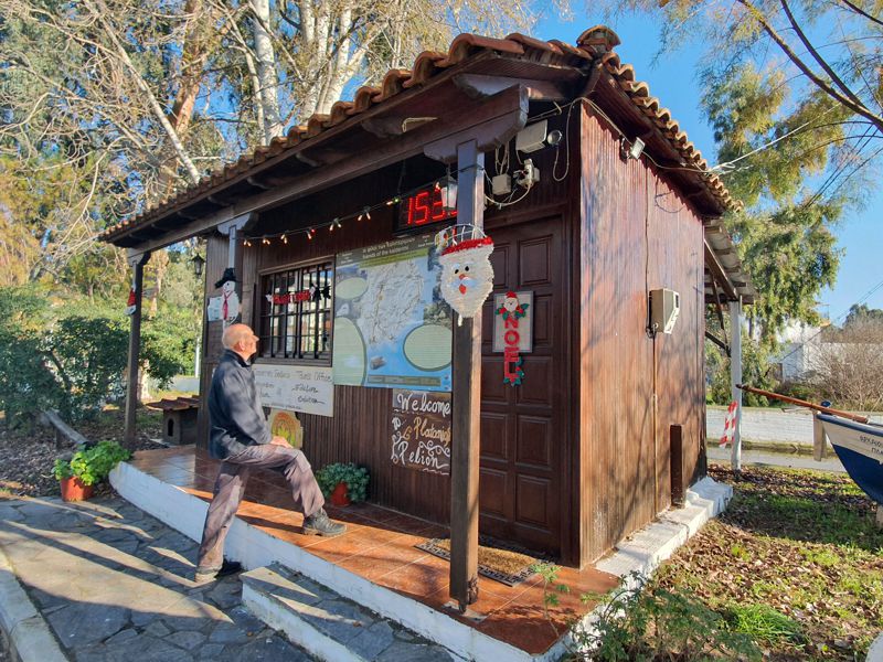
Platanias is a scenic fishing village which serves as the seaport of the mountainous settlement of Promyri. Built on the mild slopes of olives groves and along the coast, it looks like a fine amphitheater. Its charming port is a favorite destination for both the professional and the amateur fishermen. The most interesting historical site of the area is the monastery of Agios Spiridonas, which hosts magnificent icons.
Mikro-Chondri Amos
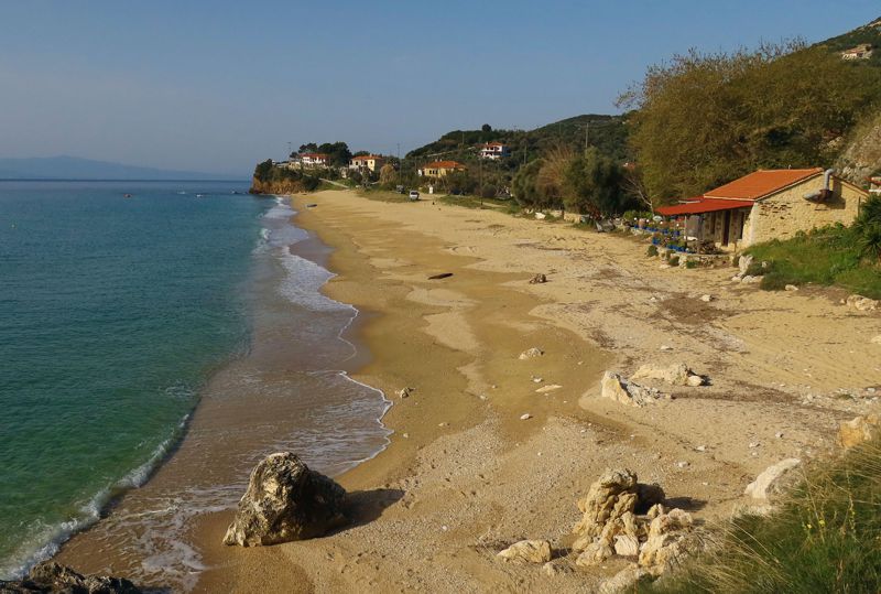
There might be taverns open in Mikro and in Chondri Ammos but only during the summer months.
Valtoudi
Valtoudi is a shallow bay where a small settlement has been developed. This small port is used by some passing fishing boats and pleasure crafts. There are some tourist facilities at Koukouleika, a very small holiday center with a few houses.
Trikeri
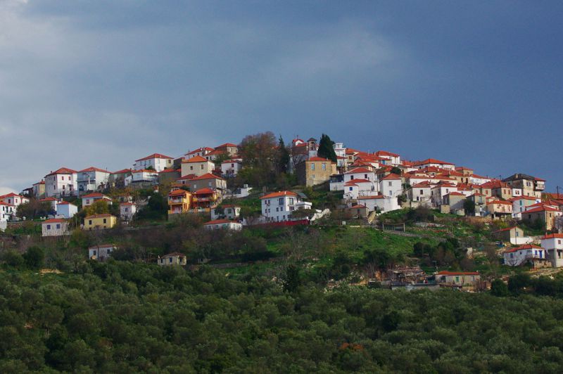
Trikeri is scenic and historical village, built at the edge of Magnesia peninsula, on the top of a distinct hill and at an elevation of 300m. Until only a few decades ago, when the main road was constructed, the overland connection with the rest of Magnesia was still very difficult.
Αlong with the locals, evaders from Mani and Vlach stock-farmers came to Trikeri and found a peaceful way of life. During the War of Greek Independence (1821), Trikeri contributed significantly to the revolution with its important fleet and ship construction facilities.
Trikeri differs from the rest of Pelion villages, due to the special geographical aspect and features. Facing the bay of Pagasitikos gulf, Evoikos gulf and the Aegean Sea, it has been described as “the guard of the three seas". Its rocky and hostile landscape drove the citizens toward sailing and trading.Moreover, Trikeri and Agia Kyriaki were the starting points for the famous sea sponge trade route in Mediterranean and Libyan Sea.
Today, Trikeri counts 1777 inhabitants. Agia Kyriaki is the seaport for Trikeri, while Alogoporos is the shipping connection to the neighboring islet of Palio Trikeri (Old Trikeri). It’s worth a visit to the church of Agios Athanasios and Holy Trinity which are decorated with a gold plated carved iconostasis.
Agia Kyriaki
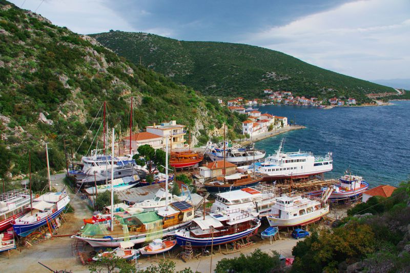
The small port of Agia Kyriaki is located at the very last edge of Magnesia peninsula, at the entry point of Pagasitikos Gulf. It is protected with a concrete pier, where the numerous picturesque boats drop anchor and leave their fishing product. There is also a small yet very busy shipyard where small and larger boats are constructed and maintained. At the coastal front of the village, which reminds us of an island settlement, the visitor can experience the local traditional cuisine at the taverns and get beverages at the small coffee shops.
The parish church of Agia Kyriaki, built in 1886, stands a bit hidden in the rear part of the village. The village developed substantially due to the shipping and maritime jobs, when Trikeri was also in its heydays.
Aik. Zagaretou and T. Adamakopoulos
Long Pelion Trail topoguide
The guide Long Pelion Trail topoguide is a member of the Long Trails group of the app topoguide Greece, available for Android devices via the Google Play Store.
The guide Long Pelion Trail topoguide is also available for iOS (iPhone και iPad) devices via the app Topoguide Greece, as a member of the Long Trails group.
The application offers active navigation along the trails, as well as a concise guide on the geography, the nature and the culture of Mt Pelion.

