Vytina-Nymfasia
Menalon Trail
Vytina-Nymfasia

Menalon Trail
Setting off from Palea Vytina to Nymfasia
Setting off from Palea Vytina to Nymfasia
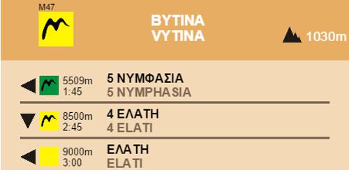
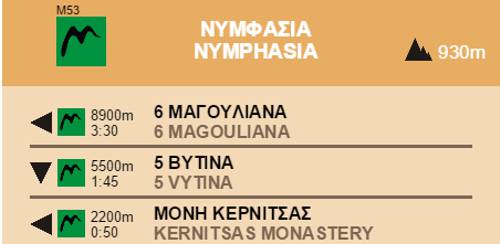
The section Vytina-Nymfasia is 5.7km long and can be done in just two hours.
After resting and provisioning, leave Vytina and continue on the route leading to Nymphasia. After walking 850 meters on asphalt you’ll reach Old Vytina and the trailhead of the footpath that will leads to Mavra Litharia, a massive limestone boulder in the riverbed of Milaon River, that the stream cut in half creating a short yet impressive gorge. From here start descending to the Tzavarenas bridge, a solid stone bridge that secured the connection between Vytina with the western gortynian villages.

Menalon Trail
Tzavarenas bridge
Tzavarenas bridge

Menalon Trail
Agia Triada, the parish church of Nymfasia
Agia Triada, the parish church of Nymfasia

Section 5 Vytina-Nymfasia
Elevation profile
Elevation profile
Text and photos by T. Adamakopoulos

topoguide Greece
Menalon Trail topoguide

All useful information about the section Vytina-Nymfasia - interactive map, photos, metrics and description - is included in the digital field guide Menalon Trail topoguide.
The digital field guide Menalon Trail topoguide is available for Android devices as an in-app purchase within the application topoguide Greece. Menalon Trail is a member of the Long Trails group.
The digital field guide Menalon Trail topoguide is also available for iOS (iPhone and iPad) devices as an in-app purchase within the application Topoguide Greece. There also, Menalon Trail is a member of the Long Trails group.
Menalon Trail topoguide offers active guidance along the trail, as well as an extented guidebook on the geography, the nature and the history of the area.