Kamari-Keramidi-Veneto
Long Pelion Trail
Kamari-Keramidi-Veneto
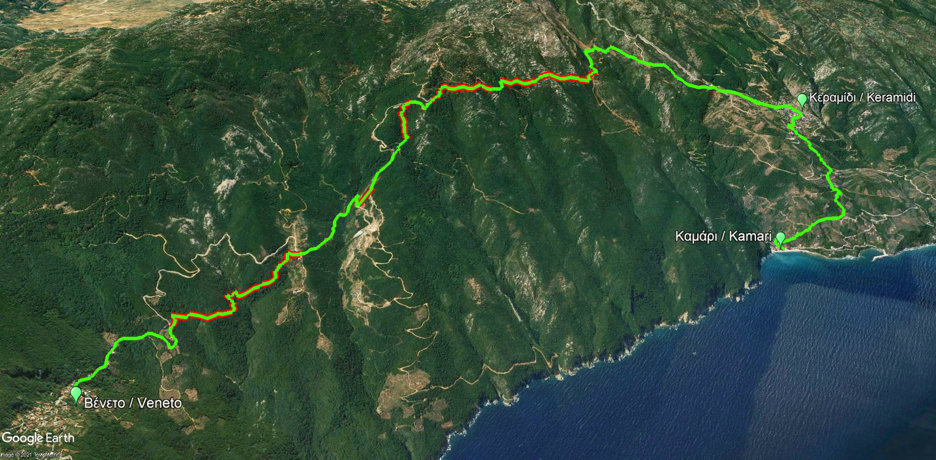
Click to enlarge
| Section name |
Difficulty |
Length m |
Ascent m |
Decent m |
Maximum elevation m |
Minimum elevation m |
Time h |
|---|---|---|---|---|---|---|---|
| Kamari-Keramidi-Veneto | 2/5 | 16531 | 730 | 510 | 586 | 0 | 7-8 |
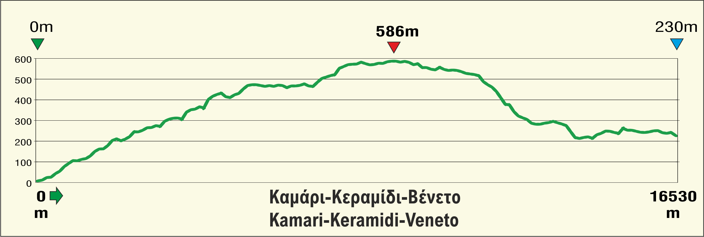
Elevation profile of Kamari-Keramidi-Veneto route
The trail from Kamari to Veneto is the first and the very northernmost section of Long Pelion Trail (LPT). It meanders on the most least-known area of Pelion which providing much less facilities and services than those the visitors can find in the other, more popular, villages.
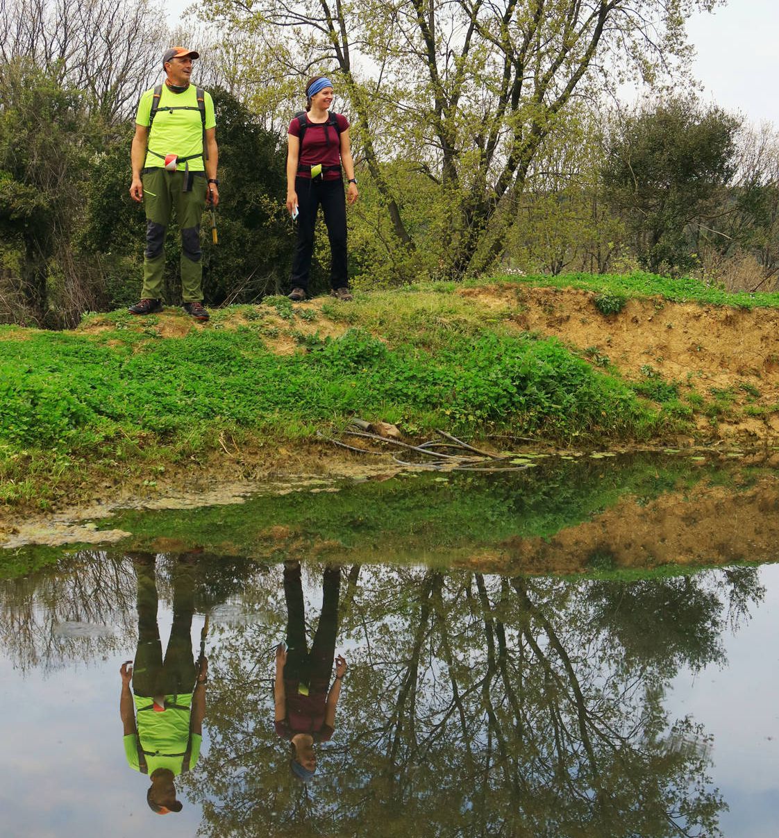
The path starts from Kamari, passes through the traditional village of Keramidi and ends at Veneto. These three settlements are the most remote places among all the inhabited areas of Northern Pelion. However, they are of great interest concerning their natural beauty and architectural value. Their special geographical aspect, their well-preserved buildings and the unique relief make them perfect places for relaxation but also exploration. The first part of LPT crosses landscapes of different morphology and features, where the visitor can find grasslands, forests, wet meadows and rocky gaps.
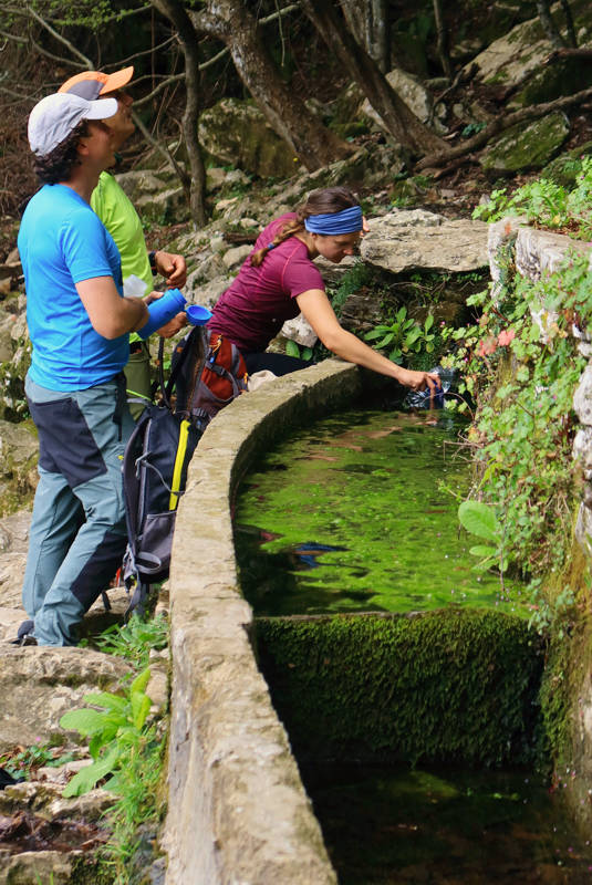
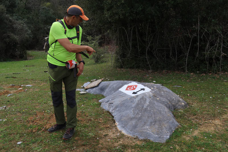
Text: Aik. Zagaretou, photos: T. Adamakopoulos
Walkability chart-Warnings
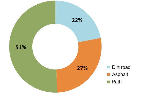
The length of the route is 16.5 km and can be done in 7-8 hours.
Long Pelion Trail topoguide
The best escort on Long Pelion Trail is the guide Long Pelion Trail topoguide, a member of the Long Trails group of the app topoguide Greece, available for Android devices via the Google Play Store.
The guide Long Pelion Trail topoguide is also available for iOS (iPhone και iPad) devices via the app Topoguide Greece, as a member of the Long Trails group.
The application offers active navigation along the trails, as well as a concise guide on the geography, the nature and the culture of Mt Pelion.

