Makrinitsa-Agios Onoufrios-Stagiates-Portaria-Chania
Long Pelion Trail
Makrinitsa-Agios Onoufrios
Stagiates-Portaria-Chania
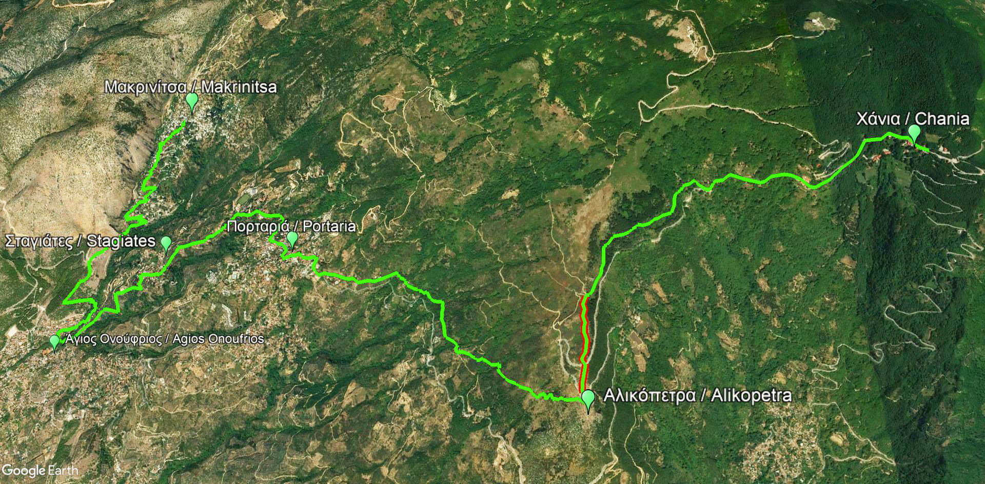
Stagiates-Portaria-Chania route
Click to enlarge
Makrinitsa-Agios Onoufrios-Stagiates-Portaria-Chania route
| Section name |
Difficulty |
Length m |
Ascent m |
Decent m |
Maximum elevation m |
Minimum elevation m |
Time h |
|---|---|---|---|---|---|---|---|
| Makrinitsa-Agios Onoufrios-Stagiates-Portaria-Chania | 1/5 | 16309 | 1085 | 692 | 1185 | 139 | 6-7 |
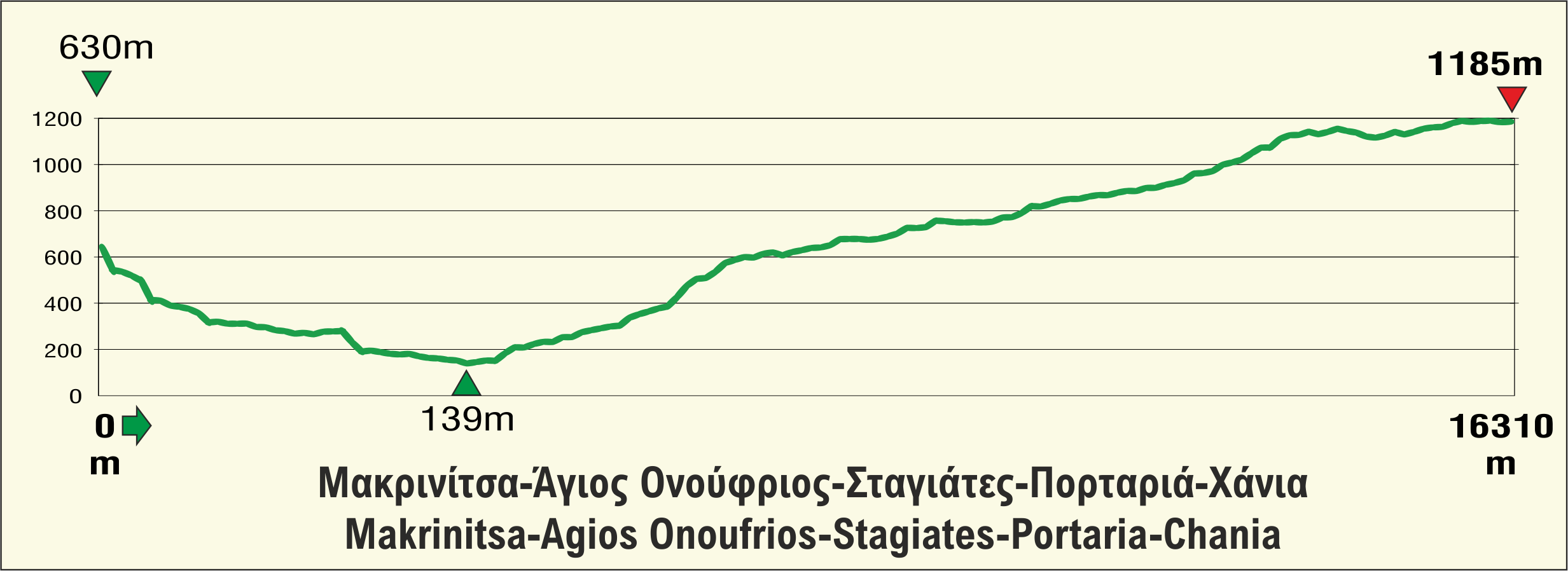
Elevation profile of Makrinitsa-Agios Onoufrios-Stagiates-Portaria-Chania route
The fourth part of Long Pelion Trail (Makrinitsa-Agios Onoufrios-Stagiates-Portaria-Chania) is the most popular, soft and pleasant hike in the area of Pelion. Two of the largest and most visited villages of the peninsula, Makrinitsa and Portaria, are connected via this well-preserved and beautiful trail.
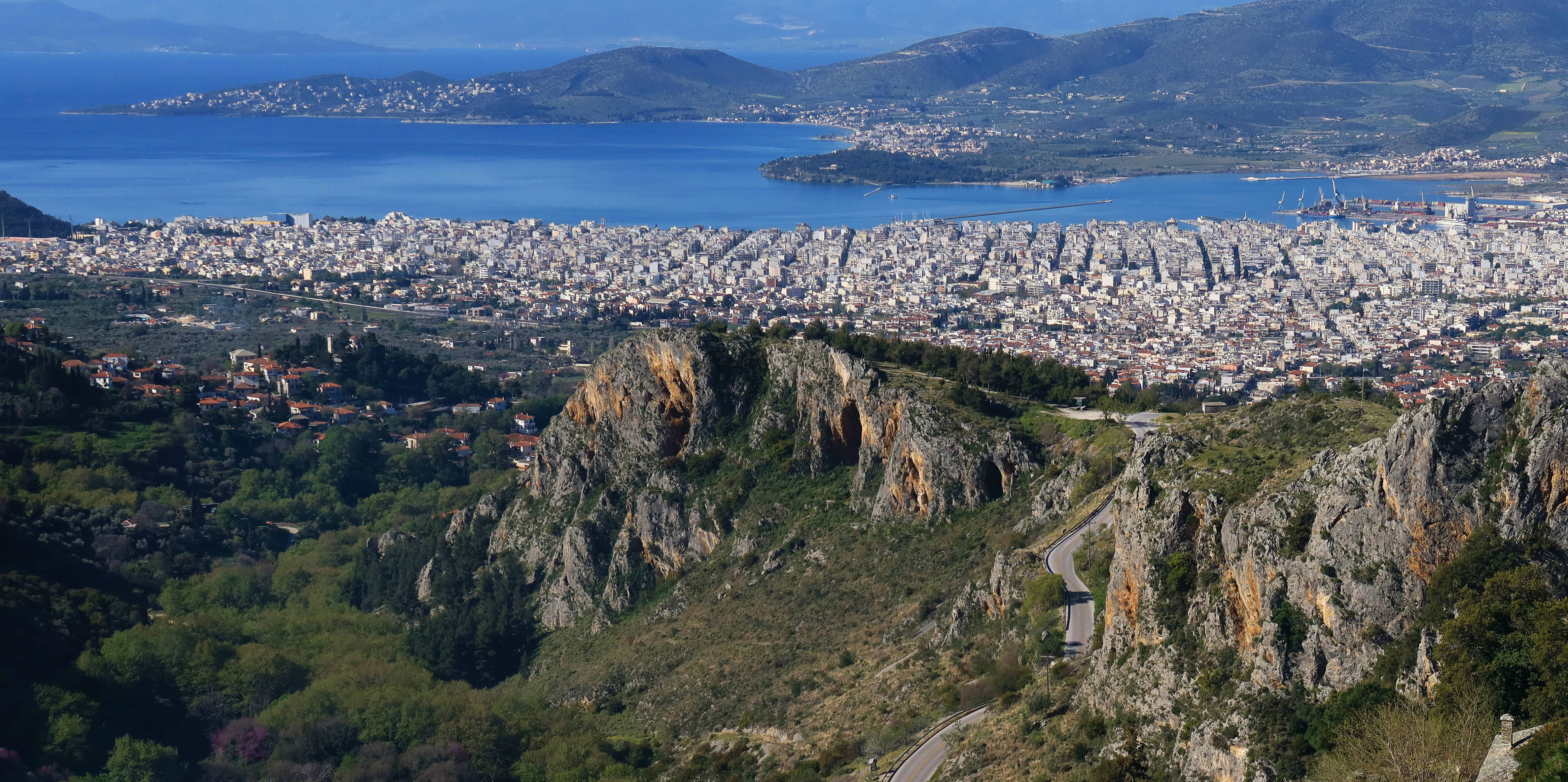
Montane features above the urban landscape
Click to enlarge
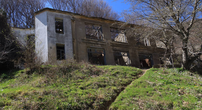
Makrinitsa: Montane features above the urban landscape
The trail crosses a vast area of different vegetation and terrain patterns, as well as various types of paths, such as well-maintained cobbled alleys in the heart of the settlements, as well as grasslands and mountainous forests.
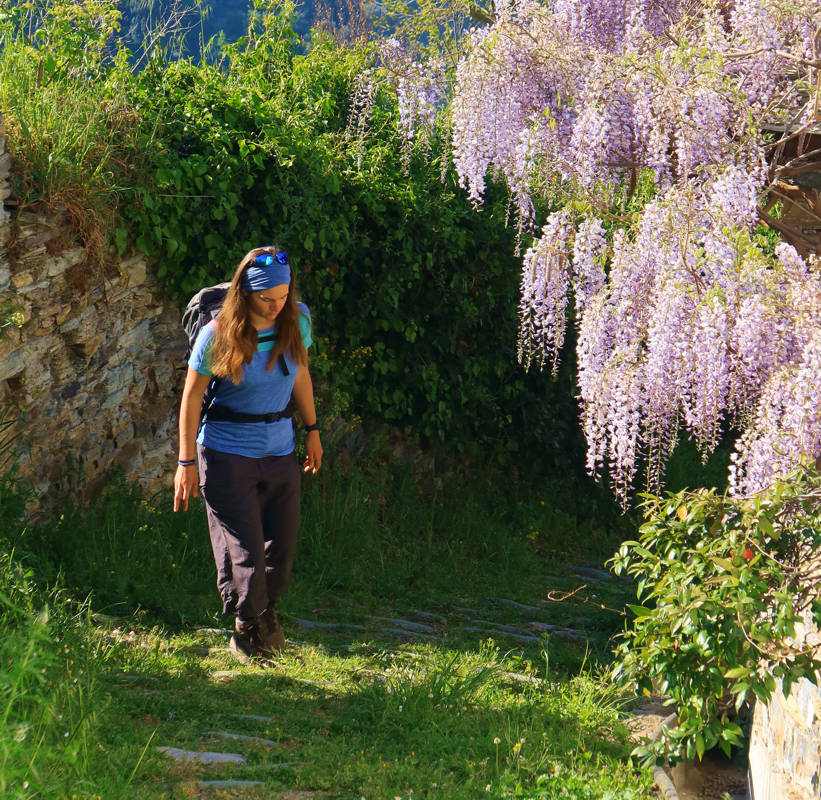
Text: Aik. Zagaretou, photos: T. Adamakopoulos
Walkability chart-Warnings
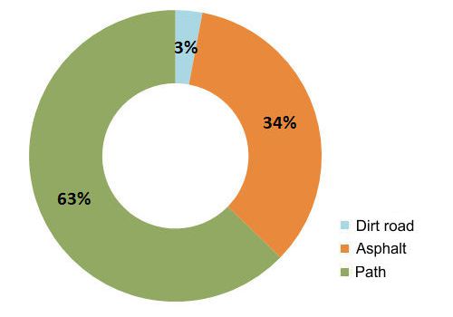
The whole route is marked with waymarking and direction signs of the Pelion Routes network and signs of the Ultra Pelion Trail.
The length of the route is 16.3 km and can be done in 6-7 hours.
Long Pelion Trail topoguide
The best escort on Long Pelion Trail is the guide Long Pelion Trail topoguide, a member of the Long Trails group of the app topoguide Greece, available for Android devices via the Google Play Store.
The guide Long Pelion Trail topoguide is also available for iOS (iPhone και iPad) devices via the app Topoguide Greece, as a member of the Long Trails group.
The application offers active navigation along the trails, as well as a concise guide on the geography, the nature and the culture of Mt Pelion.

