Chania-Mouresi-Damouchari-Tsagarada
Long Pelion Trail
Chania-Mouresi
Damouchari
Tsagarada
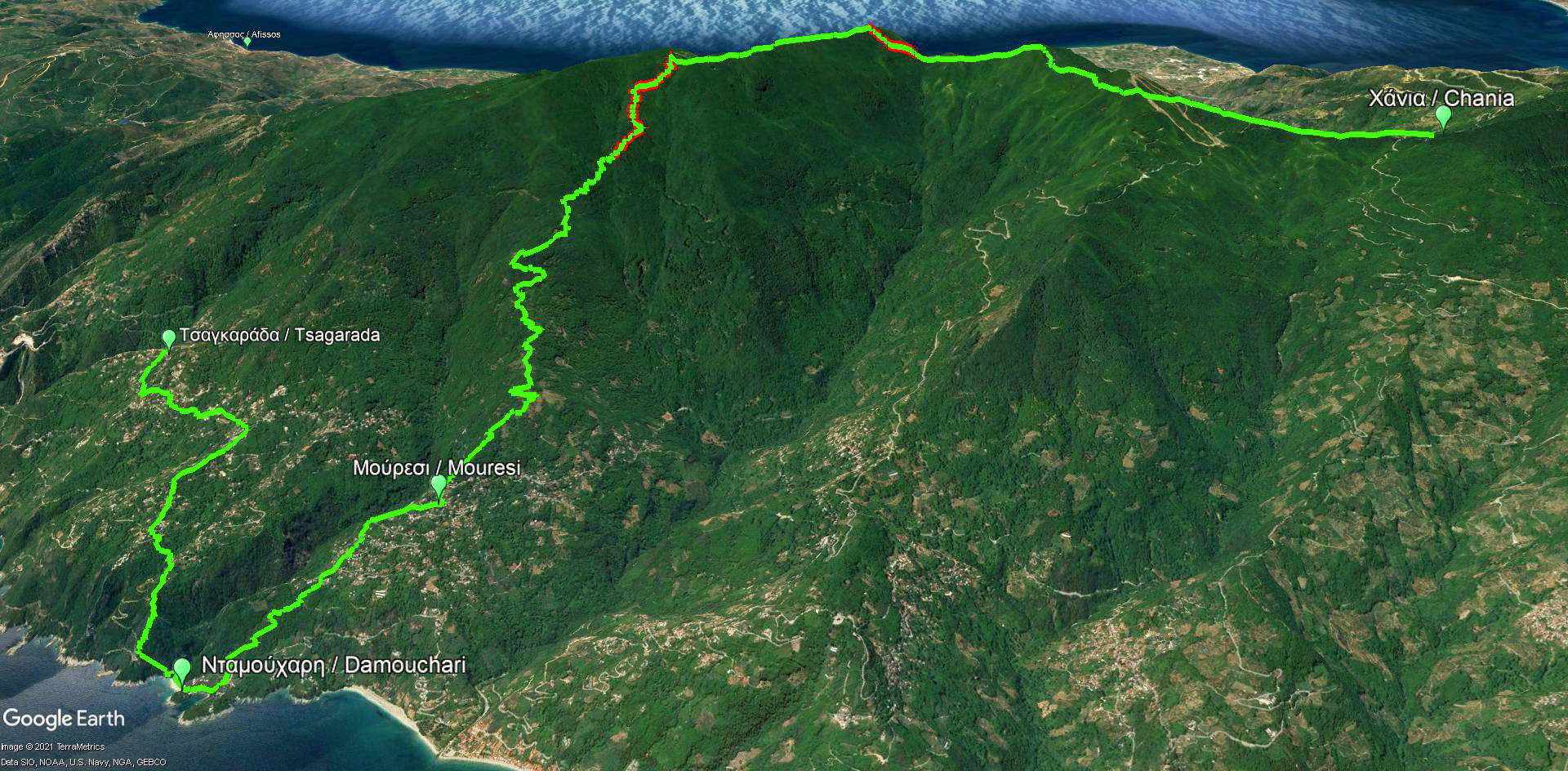
Click to enlarge
Chania-Mouresi-Damouchari-Tsagarada route
| Section name |
Difficulty |
Length m |
Ascent m |
Decent m |
Maximum elevation m |
Minimum elevation m |
Time h |
|---|---|---|---|---|---|---|---|
| Chania-Mouresi Damouchari-Tsagarada |
2/5 | 24025 | 1103 | 1772 | 1455 | 0 | 9-10 |

Elevation profile of Chania-Mouresi-Damouchari-Tsagarada route
The fifth part of LPT is a long and demanding trail with a total length of 24km. Nevertheless, it shows to the visitor all the aspects of the natural beauty of Pelion, combining many different ground types and sceneries. The hiker crosses pristine forests of beech, around the area of Chania, walks along rocky ridges, close to Schitzouravli, gets lost at the hidden bays of Aegean Sea and wanders around the colorful orchards.
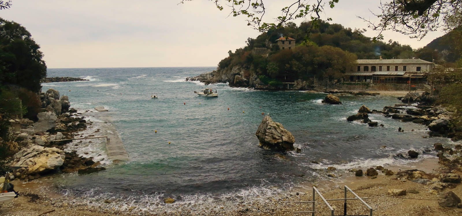
Click to enlarge
Damouchari
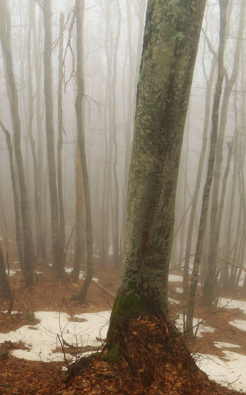
After walking through the small settlement of Chania, we hike heading to Schitzouravli and Dramala, two of the highest peaks of Pelion.
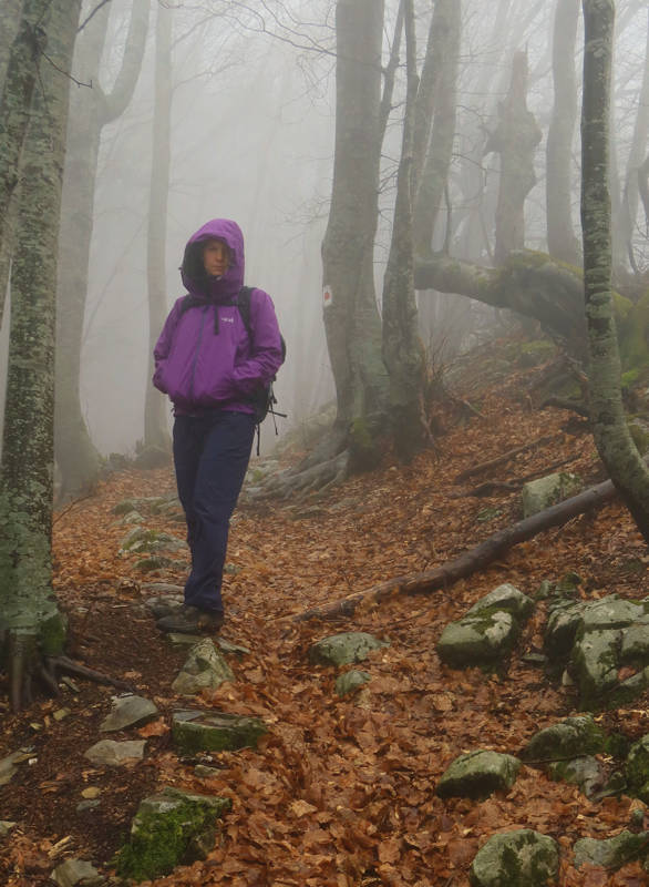
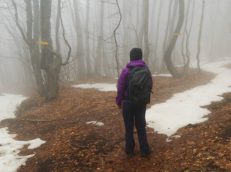
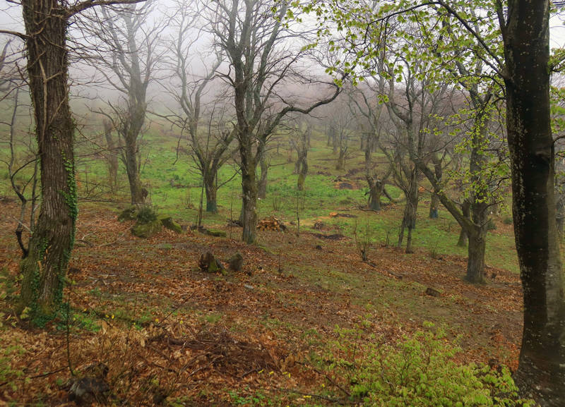
Text: Aik. Zagaretou, photos: T. Adamakopoulos
Walkability chart-Warnings
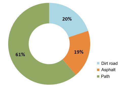
The route is marked with the red marks and direction signs of the Pelion Routes network and the Ultra Pelion Trail.
The length of the route is 24 km and can be done in 9-10 hours.
Long Pelion Trail topoguide
The best escort on Long Pelion Trail is the guide Long Pelion Trail topoguide, a member of the Long Trails group of the app topoguide Greece, available for Android devices via the Google Play Store.
The guide Long Pelion Trail topoguide is also available for iOS (iPhone και iPad) devices via the app Topoguide Greece, as a member of the Long Trails group.
The application offers active navigation along the trails, as well as a concise guide on the geography, the nature and the culture of Mt Pelion.

