Hiking in North Pelion
Hiking in North Pelion
North Pelion area is isolated and little unknown to Greek hikers. The only trail widely known was the O2 National Trail, which had also fallen into obsolescence and only the Veneto-Pouri section of this Long Distance Trail received annually some visitors, mainly French and Germans.
Apart from O2, a dozen other routes, mainly along the old pathways between the villages, had been explored and marked with the initiative and effort of members of Volos Alpine Club. These routes are passable only in the period after their maintenance by the local hikers, who address the annual overgrowth.
Three more routes, between Kato Kerassia, Fytoko and Makrinitsa, have been included in the Volos Municipality project for the development of hiking tourism and will be soon maintained and marked.
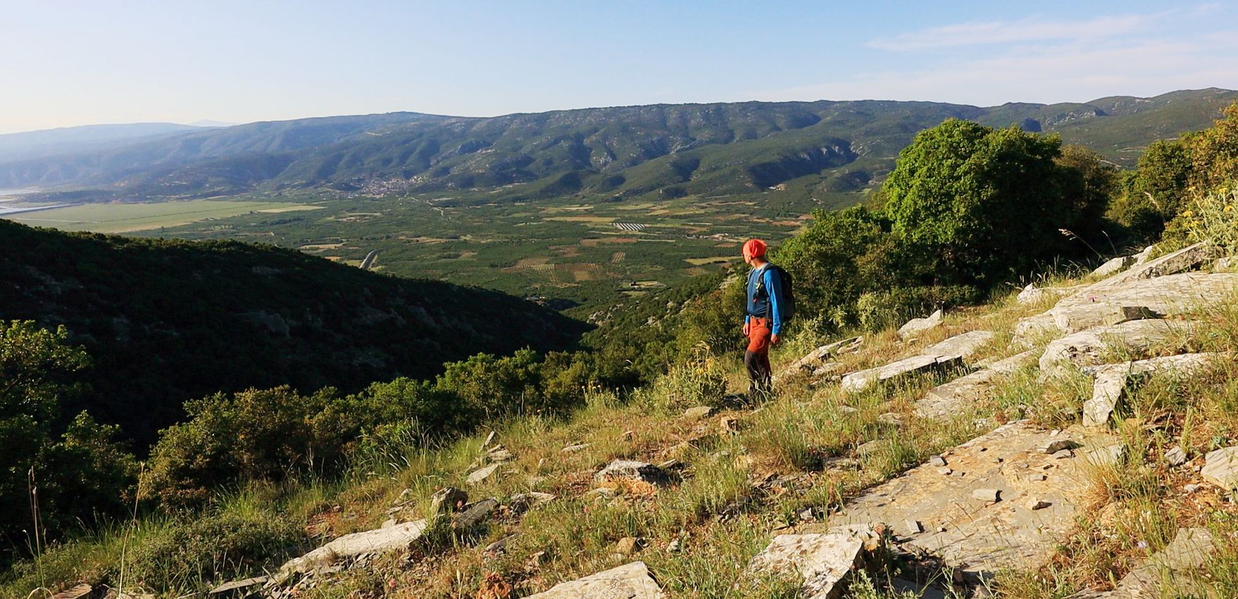
The Kanalia village and the crestline of Mt Mavrovouni are on the background
Click to enlarge
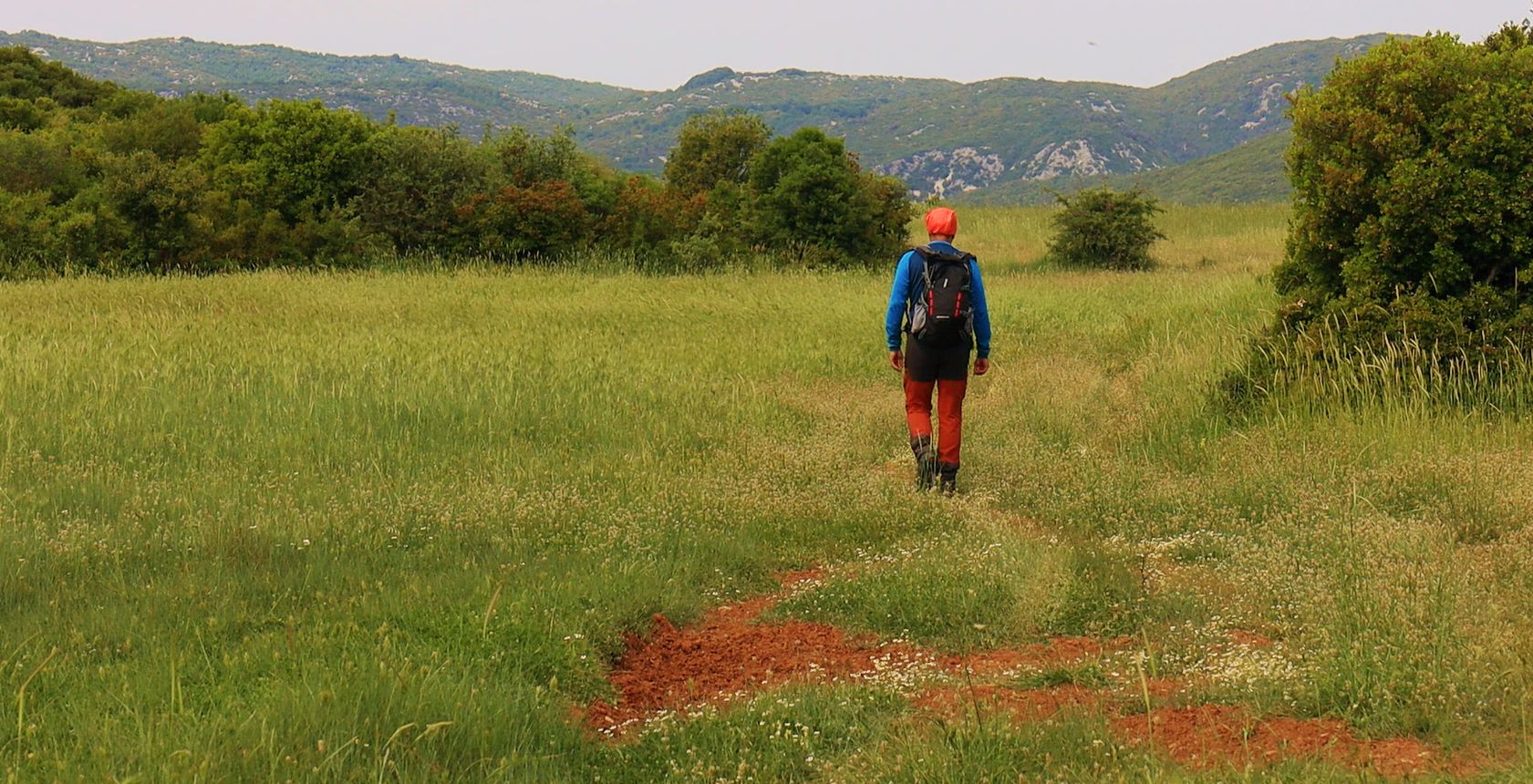
On the Glafyra-Kato Kerassia trail
The Kanalia village and the crestline of Mt Mavrovouni are on the background
Moreover, in 2022, three sections of the Long Pelion Trail were cleaned and marked. These 3 sections connect Kamari, Keramidi, Veneto and the monasteries of Flamouri and Sourvia to Makrinitsa.
Recently, it seems that a local team has been mobilized for the maintenance and marking of O2 and several signposts and marks have been added, while the walkability of the route seems to have improved.
In summary, it seems that the prospects of hiking tourism in North Pelion are better than ever.
O2 National Trail
O2 National Path starts from the Skala peak of Mt Olympus and after crossing Kato Olympus and Tempi valley, climbs up to Mt Kissavos and reaches the village of Elafos, on Mt Mavrovouni. The first leg that runs through the area of North Pelion is the route Elafos-Keramidi. The O2 continues to the Veneto and from there dares the great crossing to Pouri and ends in Zagora.
Although the Elafos-Keramidi and Keramidi-Veneto legs are quite interessting, it is the Veneto-Pouri section that has attracted the interest of hikers. This section is passable and quite well marked.
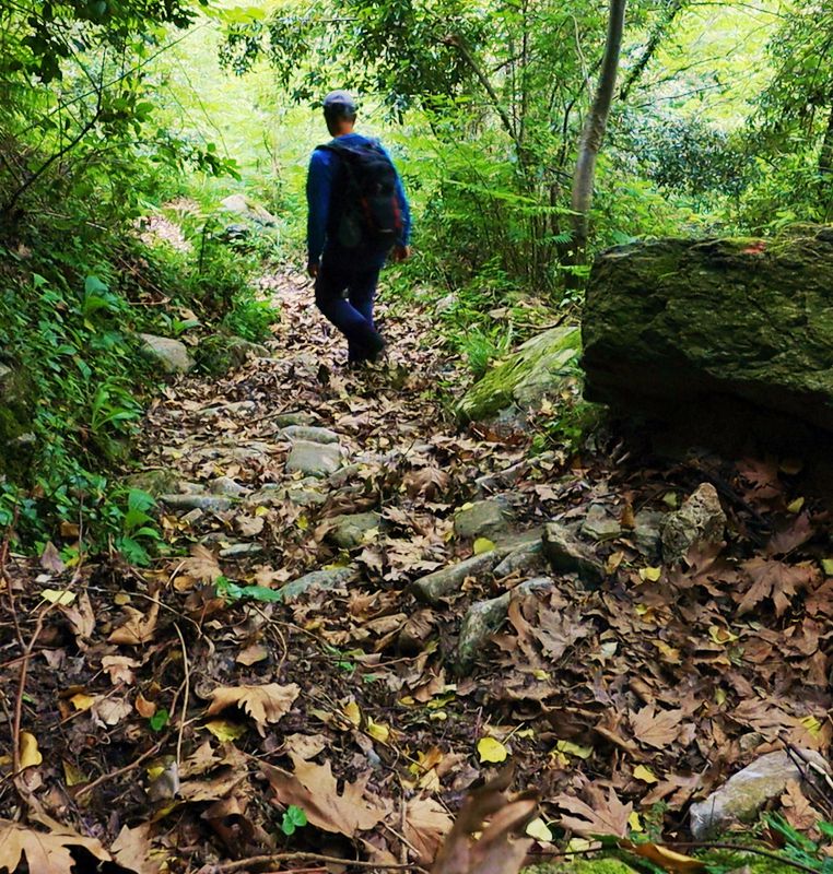
- O2 Elafos-Keramidi 11.5km / 5h45'
- O2 Keramidi-Veneto 13.7km / 6h15'
- O2 Veneto-Pouri 21km / 9h45'
Long Pelion Trail
Long Pelion Trail crosses Mt Pelion and Magnesia peninsula, from Kamari (Keramidi) to Agia Kyriaki (Trikeri). Three out of the 11 daily sections of the route cross the North Pelion area. Long Pelion Trail shares the same paths with other local trails: thus, the multiple use of these paths helps maintain accessibility and signage.
Click to enlarge
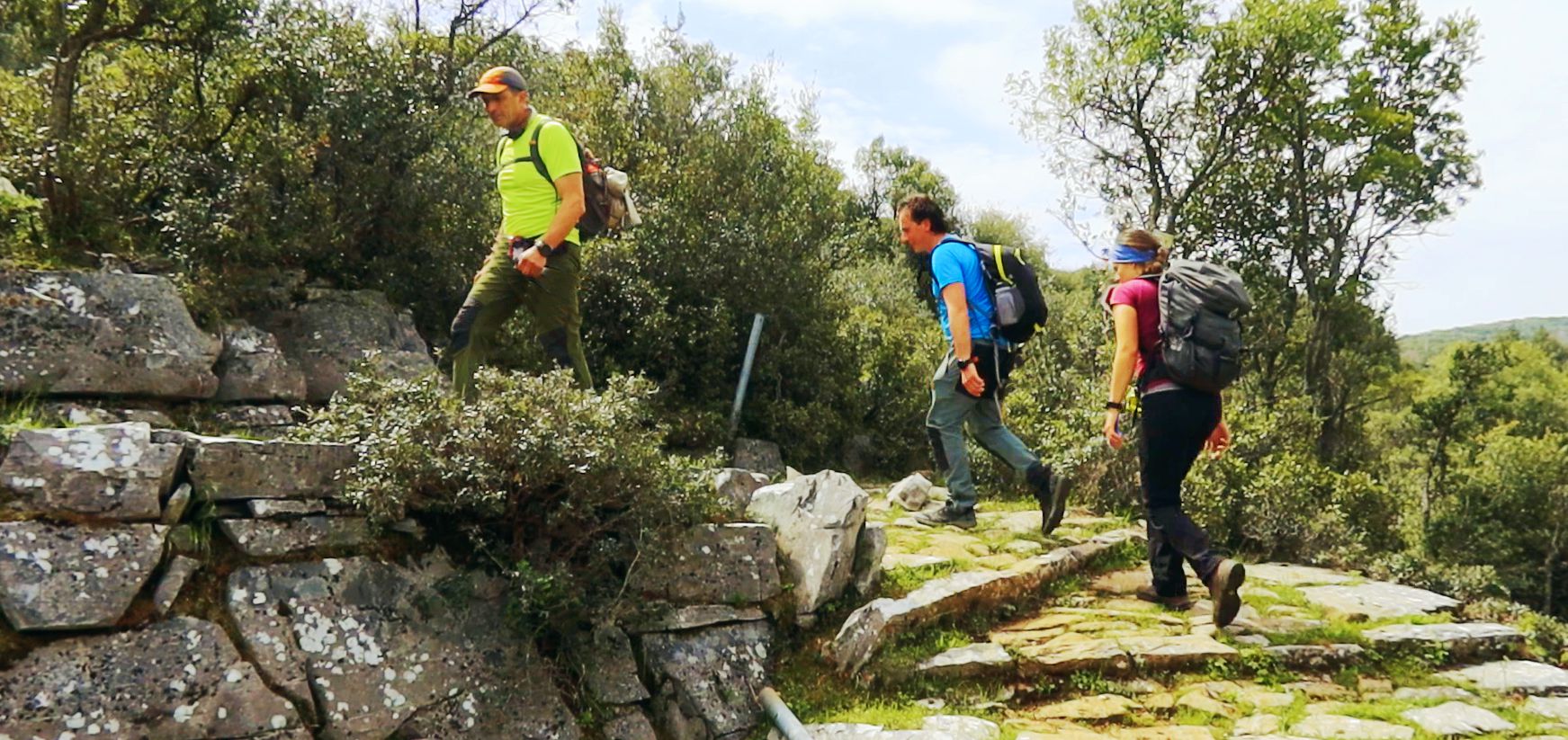
On the very first section of Long Pelion Trail, the Kamari-Veneto section
- 01 Kamari-Veneto 16.5km / 6h45'
- 02 Veneto-Sourvia monastery 14.4km / 6h
- 03 Sourvia monastery-Makrinitsa 15km / 6h45'
Along the Makrinitsa, Fytoko and Kerassia triangle
In the past, the villages of Makrinitsa, Kato Kerassia and Fytoko were connected with well-trodden paths, some of which survived the road network construction phase. Makrinitsa, Fytoko and Kerassia are now connected with three hiking trails, which have been included in the Municipality of Volos hiking development project.
The longest of the three routes, the Kato Kerassia-Makrinitsa trail, passes through the old rural settlement of Lestiani.
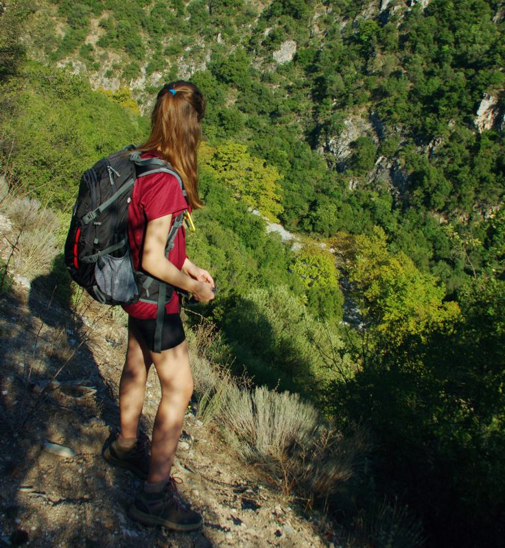
- Kato Kerassia-Makrinitsa 13.6km / 6h45'
- Fytoko-Makrinitsa 6.9km / 3h
- Fytoko-Kato Kerassia 11.1km / 5h
Around Kanalia
Thanks to the efforts of many years led by Kyriakos Stathakis and the Volos Alpine Club, the old path from Kanalia to Veneto and Glafyra, as well as the path from Glafyra to Kato Kerasia, have been cleaned and marked.
Click to enlarge
On the Glafyra-Kato Kerassia trail
- Keramidi-Kanalia 13.1km / 5h
- Glafyra-Kanalia 7.3km / 2h45'
- Glafyra-Kato Kerassia 5.2km / 2h
Text and photos: T. Adamakopoulos

topoguide Greece
GUIDES TO MT PELION
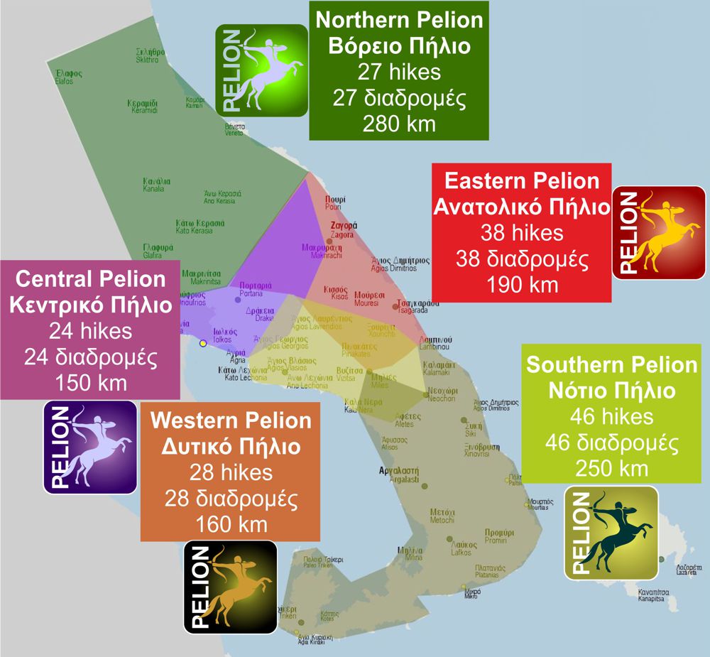
North Pelion topoguide is available for Android devices along with dozens of guides of other regions of Greece, within the hiking application topoguide Greece. Get North Pelion topoguide as an in-app purchase through the application.
North Pelion topoguide is also available for iOS (iPhone και iPad) devices within the hiking application Topoguide Greece. Get the North Pelion topoguide as an in-app purchase via the application.
North Pelion is a member of the Central Greece topoguides group.
It is very interesting that topoguide Greece has the ability to simultaneously display many areas, thus allowing the overall view of the detailed map of the whole of Mt Pelion and the easy alternation of the routes, the Points Of Interest and the dozens of pages of the guide with the countless photos.

