O2 Keramidi-Veneto
O2
Keramidi-Veneto
The O2 National Trail section from Kamari to Veneto is the second part of the O2 route in the Pelion area. The path starts from the traditional village of Keramidi and ends at Veneto, meandering along the most least-known area of Pelion. However, the hiker will appreciate the natural beauty of the landscape and the architectural value of the villages.
We start from the central square of Keramidi and the large church of Agios Georgios.
We continue on cobbled streets until the and of the settlement and in the first ravine we will take the path to Veneto. At the beginning the path is more like a dirt road and then it becomes a clear cobbled path. We meet and cross the asphalt road and continue on a wide and well built cobbled path to a shallow ravine which we cross and continue until we meet a dirt road.


After 820m. on the dirt road, we leave it to descend slightly into a ravine on the axis of which we find a through. This path leads to the asphalt road of Veneto. We walk on the asphalt road and see in our left hand the start of another part of the path. We find again the asphalt road, follow it for a while and leave it to descend with a short shortcut to the following asphalt section. We continue on the asphalt road to the church of Profitis Ilias.
From this place we will descend 100 m to a series of ravines in very dense Mediterranean vegetation. This almost 2 km long path brings us to the asphalt road, just on front of the concrete water tank of Veneto. We continue on the asphalt road up to the parking lot of the Veneto.
Text and photos: T. Adamakopoulos
Marking-Warnings

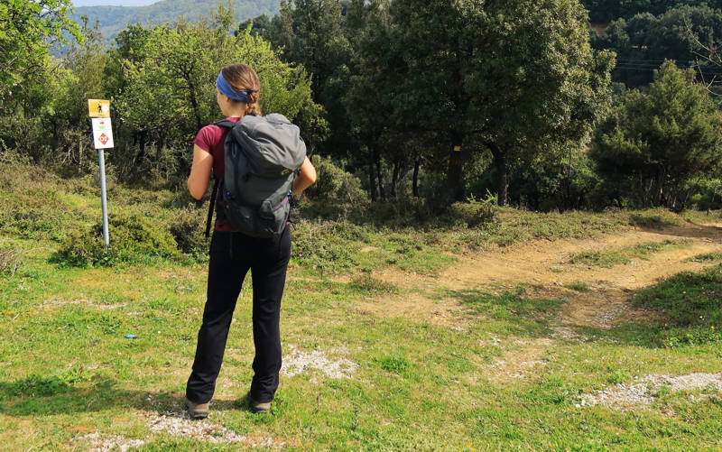
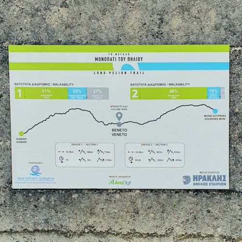
There is a signpost og Long Pelion Trail in the parking lot of Veneto.
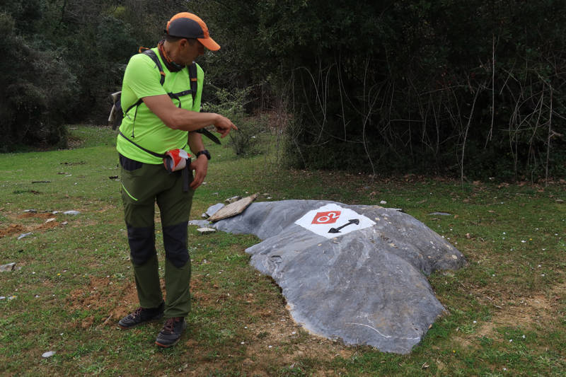
Along the way we will also find quite dense red marks.

topoguide Greece
GUIDES TO MT PELION

North Pelion topoguide is available for Android devices along with dozens of guides of other regions of Greece, within the hiking application topoguide Greece. Get North Pelion topoguide as an in-app purchase through the application.
North Pelion topoguide is also available for iOS (iPhone και iPad) devices within the hiking application Topoguide Greece. Get the North Pelion topoguide as an in-app purchase via the application.
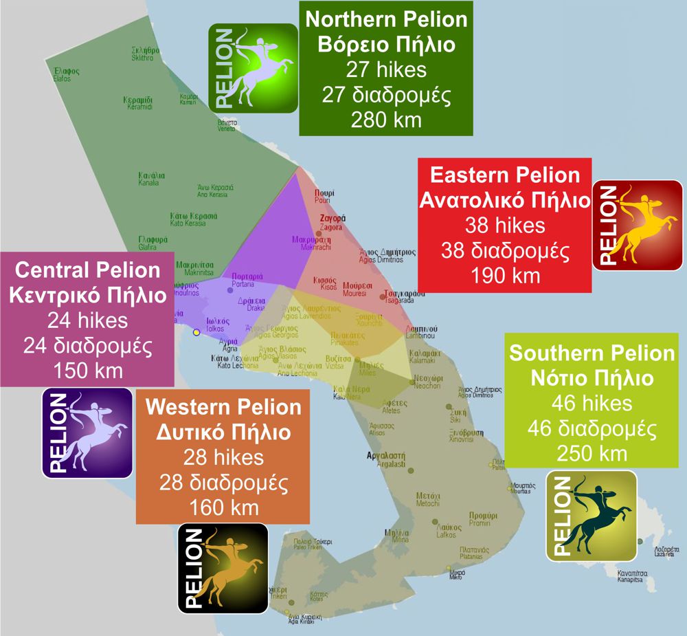
North Pelion is a member of the Central Greece topoguides group.
It is very interesting that topoguide Greece has the ability to simultaneously display many areas, thus allowing the overall view of the detailed map of the whole of Mt Pelion and the easy alternation of the routes, the Points Of Interest and the dozens of pages of the guide with the countless photos.

