O2 Elafos-Keramidi
O2
O2 Elafos-Keramidi
The Elafos-Keramidi section of the O2 National Trail is the northernmost of the sections of O2 that enters the area of North Pelion. The route is quite interesting, as it runs through old rural areas and in some places has a nice view of Lake Karla.
The hike starts from the center of Elafos and follows the alleys of the settlement. After the village stadium, we take an earth path to enter the oak forest. The path eventually crosses a dirt road and finally follows it.
After a plateau, we leave the dirt road and take the path to enter the forest, until we reach the old rural area of Paliabela, where there are some terracing structures. The path continues on wooded slopes and crosses several ravines.
With an alternation of sections on path and on dirt roads, we eventually get to a dirt road that crosses a large zone forested with oaks.
We continue always on a dirt road, until the waymarking lead us to an old alley, which ends and becomes a cobbled path. The cobbled path leads us to the village of Keramidi.
Marking-Warnings

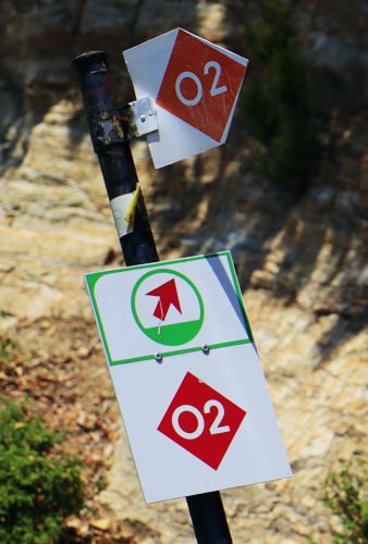
Along the way we will also find quite dense red marks.
Text and photos: T. Adamakopoulos

topoguide Greece
GUIDES TO MT PELION

North Pelion topoguide is available for Android devices along with dozens of guides of other regions of Greece, within the hiking application topoguide Greece. Get North Pelion topoguide as an in-app purchase through the application.
North Pelion topoguide is also available for iOS (iPhone και iPad) devices within the hiking application Topoguide Greece. Get the North Pelion topoguide as an in-app purchase via the application.
North Pelion is a member of the Central Greece topoguides group.
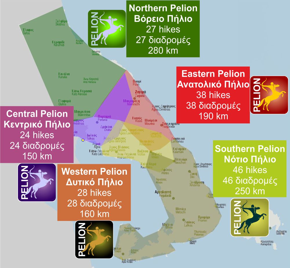
It is very interesting that topoguide Greece has the ability to simultaneously display many areas, thus allowing the overall view of the detailed map of the whole of Mt Pelion and the easy alternation of the routes, the Points Of Interest and the dozens of pages of the guide with the countless photos.

