LPT Kamari-Keramidi-Veneto
North Pelion
LPT Kamari-Keramidi-Veneto
The trail from Kamari to Veneto is the first and the very northernmost section of Long Pelion Trail (LPT) and it meanders on the most least-known area of Pelion.
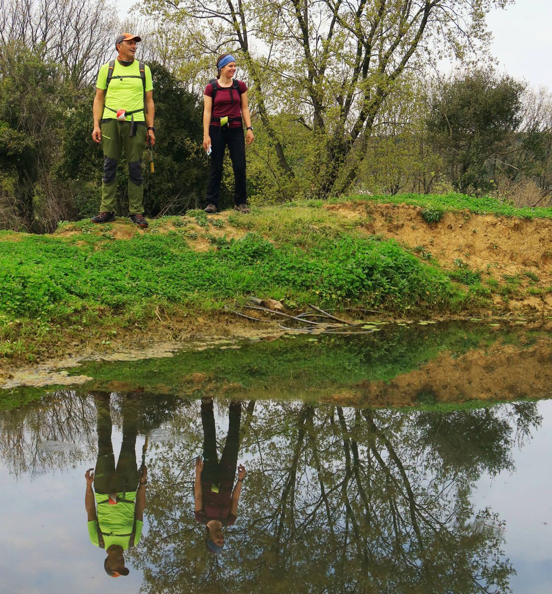
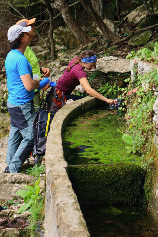
The path starts from Kamari, passes through the traditional village of Keramidi and ends at Veneto. These three settlements are the most remote places among all the inhabited areas of Northern Pelion. However, they are of great interest concerning their natural beauty and architectural value. Their special geographical aspect, their well-preserved buildings and the unique relief make them perfect places for relaxation but also exploration. The first part of LPT crosses landscapes of different morphology and features, where the visitor can find grasslands, forests, wet meadows and rocky gaps.
Text and photos: T. Adamakopoulos
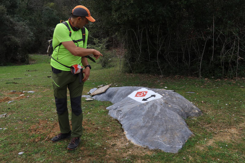
Marking-Warnings
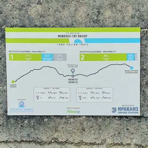
The length of the route is 16.5 km and can be done in 7-8 hours.

topoguide Greece
GUIDES TO MT PELION
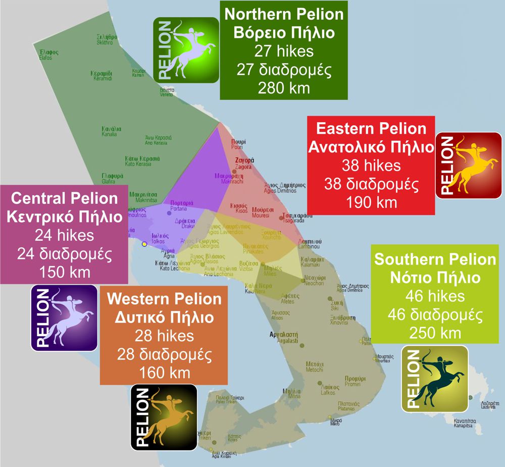
North Pelion topoguide is available for Android devices along with dozens of guides of other regions of Greece, within the hiking application topoguide Greece. Get North Pelion topoguide as an in-app purchase through the application.
North Pelion topoguide is also available for iOS (iPhone και iPad) devices within the hiking application Topoguide Greece. Get the North Pelion topoguide as an in-app purchase via the application.
North Pelion is a member of the Central Greece topoguides group.
It is very interesting that topoguide Greece has the ability to simultaneously display many areas, thus allowing the overall view of the detailed map of the whole of Mt Pelion and the easy alternation of the routes, the Points Of Interest and the dozens of pages of the guide with the countless photos.

