Fytoko-Makrinitsa
North Pelion
Fytoko-Makrinitsa
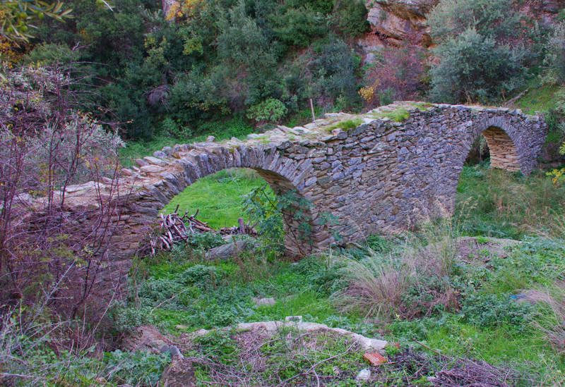
The old two-arched bridge of Fytoko
The Fytoko – Makrinitsa trail follows mostly the old pathway between the two villages. Moreover, this old road connected the villages of Central Pelion to the region of Lake Karla, an area of high economic importance.
The trail adopts the bridges and other infrastructure works of the old pathway, resulting in a very elegant mixture of traditional and modern elements. Despite the fact that the trail is crossed in many locations by rural roads, it is still interesting, as it offers a spectacular view to the landscape of the region.
The trail begins at the gates of Fytoko village. After walking on the asphalt road we reach a parking lot, beside the church of Nativity of the Virgin. Continue on a dirt road until an old two-arch stone bridge. Pass over it, leave the dirt road and start following the somewhat steep trail. Soon, go through a beautiful olive grove and find again the dirt road.
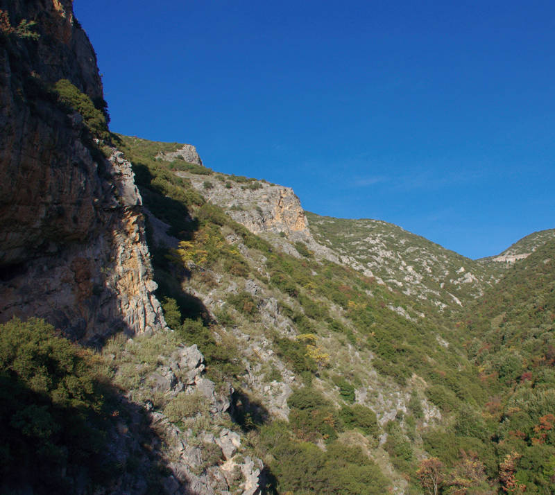
The Vathyrema ravine
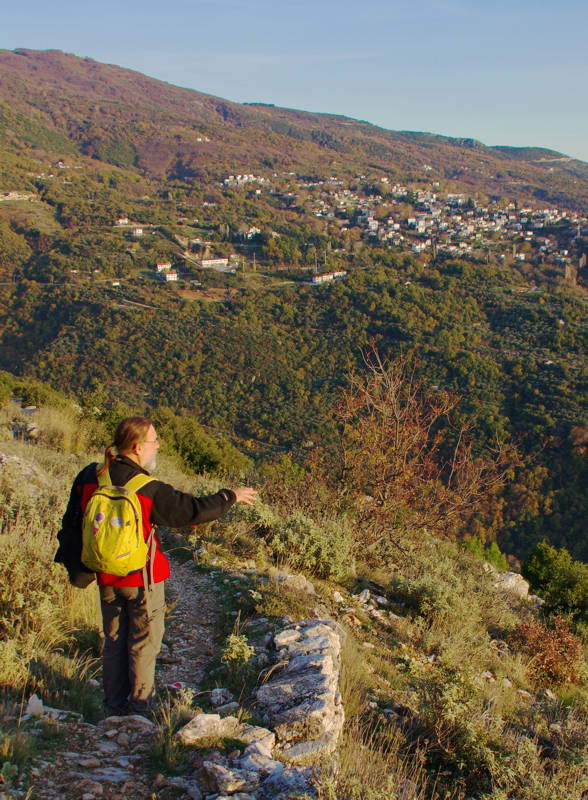
Walking down to Makrinitsa
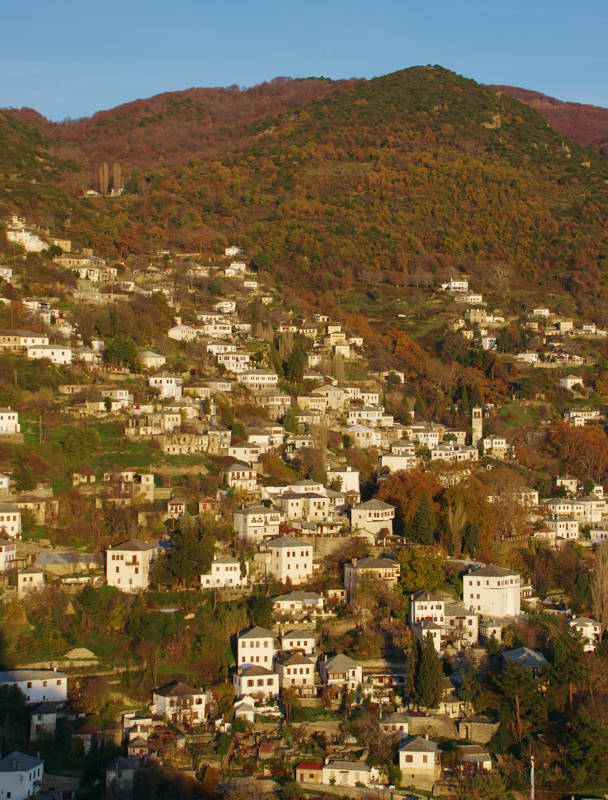
Makrinitsa in the aftenoon light
The route is well waymarked over its entire length with red marks and metal poles with yellow labels. There are direction signposts on most of the junction points. The overall length is 7 km. As a conclusion we could claim that the first part of our route, from Fytoko to Stavros, is strongly uphill while the second section down to Makrinitsa is mainly downhill.
Text and photos: T. Adamakopoulos
Marking-Warnings
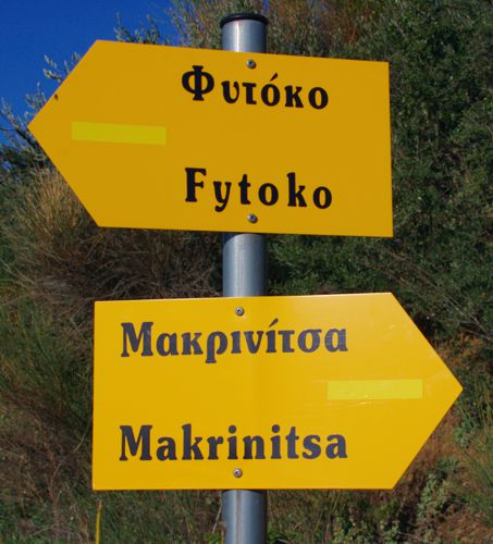
There is no drinking water along the trail. There is a fountain in the church at the parking lot of Phytoko.
The length of the trail is 7 km and is strongly uphill up to Stavros and strongly downhill from there to Makrinitsa. The hike lasts about 3h to 3h30.

topoguide Greece
GUIDES TO MT PELION
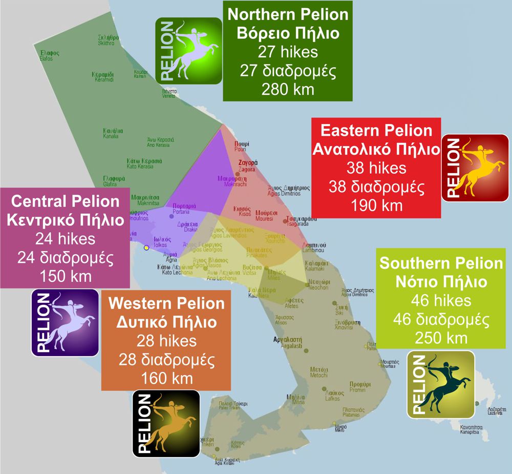
North Pelion topoguide is available for Android devices along with dozens of guides of other regions of Greece, within the hiking application topoguide Greece. Get North Pelion topoguide as an in-app purchase through the application.
North Pelion topoguide is also available for iOS (iPhone και iPad) devices within the hiking application Topoguide Greece. Get the North Pelion topoguide as an in-app purchase via the application.
North Pelion is a member of the Central Greece topoguides group.
It is very interesting that topoguide Greece has the ability to simultaneously display many areas, thus allowing the overall view of the detailed map of the whole of Mt Pelion and the easy alternation of the routes, the Points Of Interest and the dozens of pages of the guide with the countless photos.

