LPT Veneto-Flamouri monastery-Sourvias monastery
North Pelion
LPT Veneto
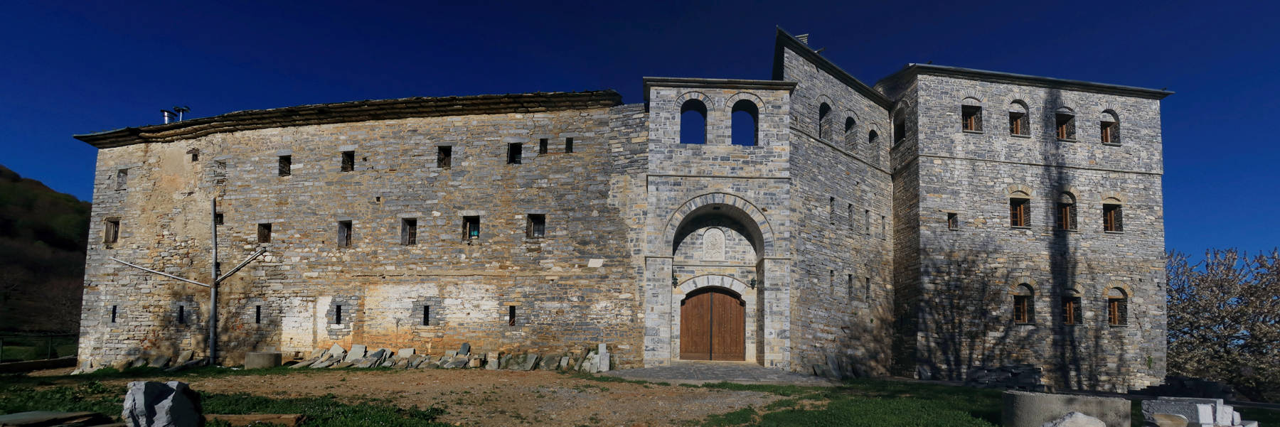
Flamouri monastery
Sourvias monastery
Click to enlarge
Flamouri monastery
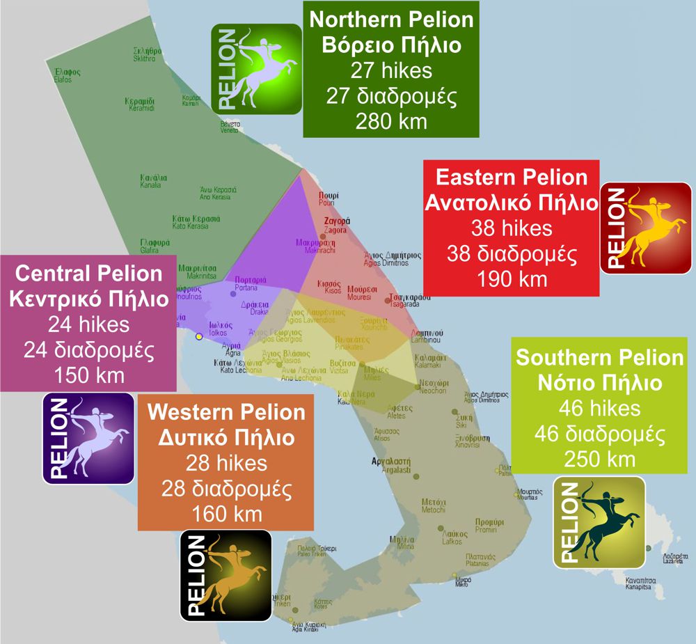
Veneto and Makrinitsa demarcate the northernmost zone of Mt Pelion, indicating two major landmarks of the area: Veneto, at the remote foothills of North Pelion, and Makrinitsa a vivid and flourishing spot over the Volos bay.
Between these two very different villages stretches a desolated and wild land. The only two sites where one could find shelter were the Flamouri and Sourvia monasteries.
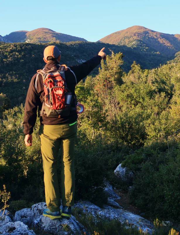
The 2nd LPT section follows the old trail that connected Veneto to Flamouri monastery, and then to Sourvia monastery.
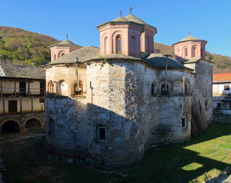
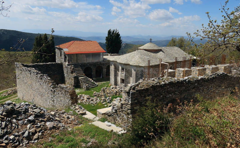
Flamouri monastery was the great religious nucleous of North Pelion. After decades of abandon, the buildings have been restored and today the monastery hosts a small monks community. The remote Sourvia monastery was a sentinelle of Flamouri monastery: Sourvia has been abandoned for many years and is being reconstructed these days.
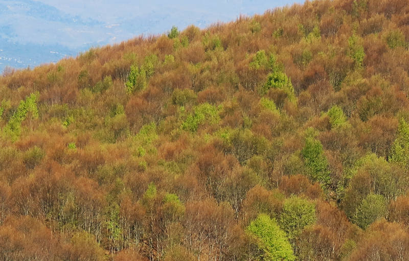
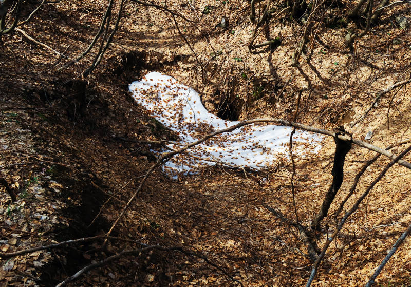
The Veneto - Flamouri Monastery - Sourvia Monastery section starts from the parking lot of Veneto. Follow the road to the east (paved road and then dirt road), heading to Petromelisso beach. After 2.4 km, leave the dirt road to enter the old path to the Flamouri monastery. This path is no longer used by the locals and can be almost impassable in places, due to the dense vegetation. Anyay, the path goes around a rocky ridge and then descends to a large ravine.
Text and photos: T. Adamakopoulos
Marking-Warnings
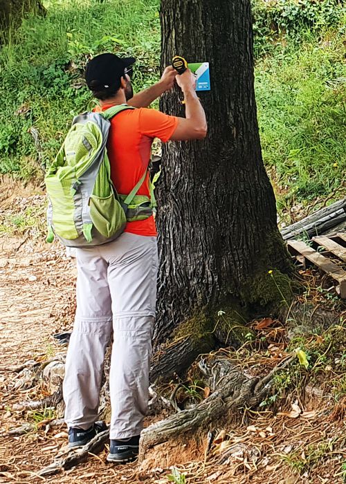
The entire route is marked with the Long Pelion Trail symbols. In Veneto and the monastery of Sourvia there are the relevant LPT signposts.
From older marking efforts there are several red marks and some signposts.
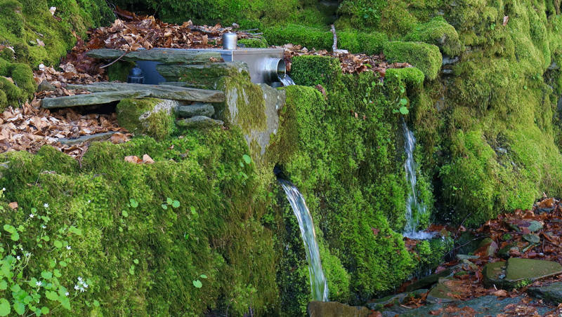
The annual growth of vegetation is rapid and you may encounter problems localy from Veneto up to the monastery of Flamouri. The daily hike can stop here and the hikers can camp overnight, next to the spring and very close to the monastery. A more experienced and well-prepared team could continue on towards Makrinitsa, thus completing the long, demanding connection from Veneto to Makrinitsa in one day.

topoguide Greece
GUIDES TO MT PELION
North Pelion topoguide is available for Android devices along with dozens of guides of other regions of Greece, within the hiking application topoguide Greece. Get North Pelion topoguide as an in-app purchase through the application.
North Pelion topoguide is also available for iOS (iPhone και iPad) devices within the hiking application Topoguide Greece. Get the North Pelion topoguide as an in-app purchase via the application.
North Pelion is a member of the Central Greece topoguides group.
It is very interesting that topoguide Greece has the ability to simultaneously display many areas, thus allowing the overall view of the detailed map of the whole of Mt Pelion and the easy alternation of the routes, the Points Of Interest and the dozens of pages of the guide with the countless photos.

