O2 Veneto-Pouri
O2
O2 Veneto-Pouri
The Veneto-Pouri section of the O2 National Trail is the penultimate section before the end of the whole route in Zagora. At the same time, it is the most interesting and experience-rich part of O2, of course along with the crossing of the alpine meadows of Olympus (first leg od O2, Skala-Karya).
The wild beauty of the route attracts dozens of European hikers every year, mostly French and Germans, who test their stamina facing this difficult connection.
The route starts from the parking lot of the Veneto. After the square (where there is a cafe-tavern), we pass near the church of Agios Nikolaos and the Kamara fountain and exit the village.
Once on the dirt road, we leave on our right the Long Pelion Trail markings heading to the monastery of Flamouri and we continue until a livestock installation, where we enter the path. We pass Kakorema ravine and reach a desert sheepfold. The red signs lead us to the Vathoulomeni ravine.
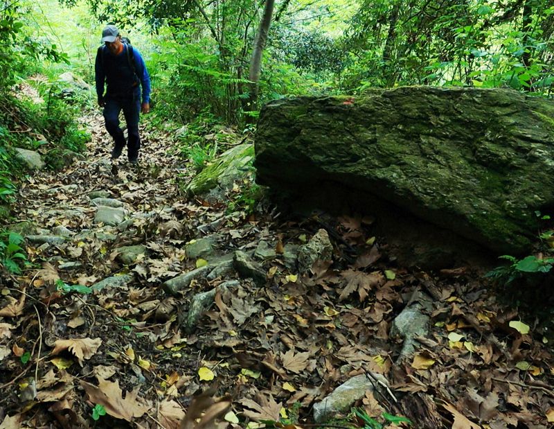
From Agralexi ravine we go to Limnionas beach (ruins and old well).
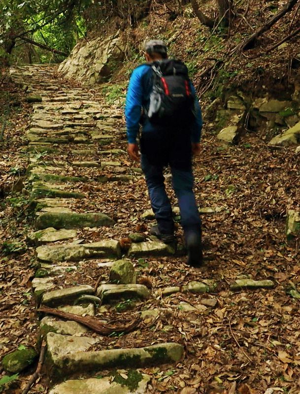
We cross the deep Lagonika ravine with a cobbled path and on the stone bridge of Diakoumis. We each now a dirt road and follow it to the right. At the end of a secondary road, we find the stone-built path that descends to Xerorema ravine.
Text and photos: T. Adamakopoulos
Marking-Warnings
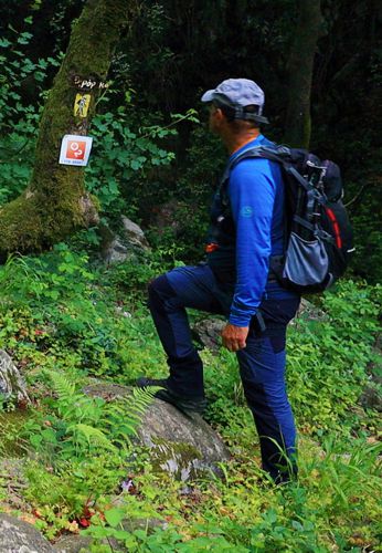
Moreover, along the way we will find quite dense red marks. The (several) branches are all marked with red and blue marks.
The route is walked relatively often and is kept passable. Local difficulties with overgrown vegetation are easily addressed with a pruner - a tool that should not be missing from our backpack in all the routes of North Pelion.
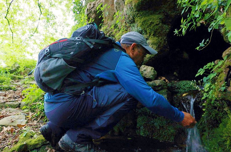
The hiker will find potable water in a small spring near Old Minzela and in the spring Neraki.
The path is long and in summer you will need at least 1.5 lt of water.

topoguide Greece
GUIDES TO MT PELION
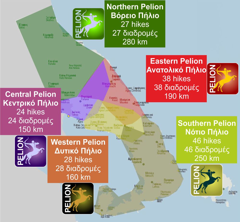
North Pelion topoguide is available for Android devices along with dozens of guides of other regions of Greece, within the hiking application topoguide Greece. Get North Pelion topoguide as an in-app purchase through the application.
North Pelion topoguide is also available for iOS (iPhone και iPad) devices within the hiking application Topoguide Greece. Get the North Pelion topoguide as an in-app purchase via the application.
North Pelion is a member of the Central Greece topoguides group.
It is very interesting that topoguide Greece has the ability to simultaneously display many areas, thus allowing the overall view of the detailed map of the whole of Mt Pelion and the easy alternation of the routes, the Points Of Interest and the dozens of pages of the guide with the countless photos.

